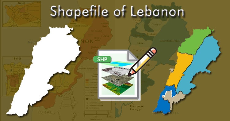
Download Lebanon Administrative Boundary Shapefiles – Governorates, Districts, Municipalities and more

Hello GIS enthusiasts, IGISMAP has now published the latest GIS vector data of Lebanon administrative levels. Links for downloading the shapefiles of the important administrative divisions of Lebanon are provided in the following. You can also download these data in KML, GeoJSON or CSV formats.  Note: Download Free Shapefile Data of Lebanon Lebanon, officially the … Continue reading “Download Lebanon Administrative Boundary Shapefiles – Governorates, Districts, Municipalities and more”

Download Mongolia Administrative Boundary GIS Data for- National, Regions, Provinces, Districts and more

Elevate your mapping pursuits! IGISMAP presents a special offer: download Mongolia’s administrative boundary GIS data, including national, regions, provinces, districts, and more.

Download Vietnam Administrative Boundary Shapefiles – National, Provinces and Districts

Hello GIS enthusiasts, IGISMAP has now published the latest GIS vector data of Vietnam administrative levels. Links for downloading the shapefiles of the important administrative divisions of Vietnam are provided in the following. You can also download these data in KML, GeoJSON or CSV formats.  Note: Download Free Shapefile Data of Vietnam Vietnam, officially the … Continue reading “Download Vietnam Administrative Boundary Shapefiles – National, Provinces and Districts”

Convert Shapefile to SQLite

The shapefile format is a geospatial vector data format for geographic information system (GIS) software. It is developed and regulated by ESRI as a mostly open specification for data interoperability among ESRI and other GIS software products. SQLite is an in-process library that implements a self-contained, serverless, zero-configuration, transactional SQL database engine. It provides Geo … Continue reading “Convert Shapefile to SQLite”

Download Madagascar Administrative Boundary Shapefiles – Province, Regions, Districts and more

IGISMAP has now published the latest GIS vector data of Madagascar administrative levels. Links for downloading the shapefiles of the important administrative divisions of Madagascar are provided in the following. You can also download these data in KML, GeoJSON or CSV formats.  Note: Download Free Shapefile Data of Madagascar The Republic of Madagascar (and previously … Continue reading “Download Madagascar Administrative Boundary Shapefiles – Province, Regions, Districts and more”

Download Philippines Administrative Boundary Shapefiles – Regions Provinces, Municipalities and more

Hello GIS enthusiasts, IGISMAP has now published the latest GIS vector data of Philippines administrative levels. Links for downloading the shapefiles of the important administrative divisions of Philippines are provided in the following. You can also download these data in KML, GeoJSON or CSV formats.  Note: Download Free Shapefile Data of Philippines Philippines officially the … Continue reading “Download Philippines Administrative Boundary Shapefiles – Regions Provinces, Municipalities and more”

Download Singapore Administrative Boundary Shapefiles – Regions, Community Development Councils, Electoral Boundaries and more

Hello GIS enthusiasts, IGISMAP has now published the latest GIS vector data of Singapore administrative levels. Links for downloading the shapefiles of the important administrative divisions of Singapore are provided in the following. You can also download these data in KML, GeoJSON or CSV formats.  Note: Download Free Shapefile Data of Singapore Singapore, officially the … Continue reading “Download Singapore Administrative Boundary Shapefiles – Regions, Community Development Councils, Electoral Boundaries and more”

Download Malaysia Administrative Boundary Shapefiles – National, States, Districts and more

Hello GIS enthusiasts, IGISMAP has now published the latest GIS vector data of Malaysia administrative levels. Links for downloading the shapefiles of the important administrative divisions of Malaysia are provided in the following. You can also download these data in KML, GeoJSON or CSV formats.  Note: Download Free Shapefile Data of Malaysia Malaysia is a … Continue reading “Download Malaysia Administrative Boundary Shapefiles – National, States, Districts and more”

Download Kenya Administrative Boundary Shapefiles – Provinces, Districts, Counties and more

Hello GIS enthusiasts, IGISMAP has now published the latest GIS vector data of Kenya administrative levels. Links for downloading the shapefiles of the important administrative divisions of Kenya are provided in the following. You can also download these data in KML, GeoJSON or CSV formats.  Note: Download Free Shapefile Data of Kenya Kenya, officially the … Continue reading “Download Kenya Administrative Boundary Shapefiles – Provinces, Districts, Counties and more”

Download Japan Administrative Boundary Shapefiles – Regions, Prefectures, Municipalities and more

Hello GIS enthusiasts, IGISMAP has now published the latest GIS vector data of Japan administrative levels. Links for downloading the shapefiles of the important administrative divisions of Japan are provided in the following. You can also download these data in KML, GeoJSON or CSV formats.  Note: Download Free Shapefile Data of Japan Japan and formally … Continue reading “Download Japan Administrative Boundary Shapefiles – Regions, Prefectures, Municipalities and more”