QGIS Tutorial – 3D Map view in QGIS 3.4.6

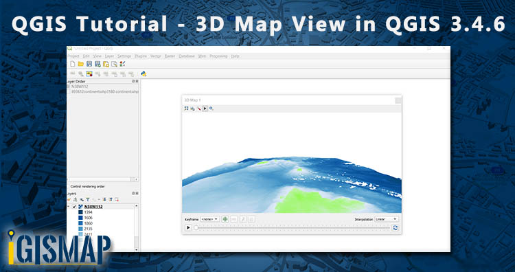
Hi GIS learners here in this series of QGIS Tutorial we learn 3D Map view in QGIS 3.4.6. For 3D view you need DEM – Digital Elevation Model. If DEM alien to you then first understand what is DEM. What is DEM? Digital Elevation Model abbreviated as DEM is a 3D view or raster representation … Continue reading “QGIS Tutorial – 3D Map view in QGIS 3.4.6”