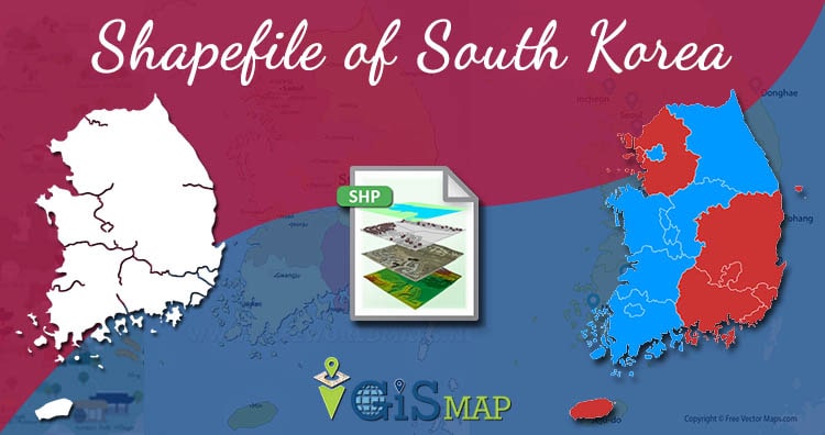
Download South Korea GIS Data – Provinces, Highway Lines, Airport Locations and More

Hello GIS enthusiasts, IGISMAP has now published the latest GIS vector data of South Korea administrative levels. Links for downloading the shapefiles of the important administrative divisions of South Korea are provided in the following. You can also download these data in KML, GeoJSON or CSV formats.  Note: Download Free Shapefile Data of South Korea … Continue reading “Download South Korea GIS Data – Provinces, Highway Lines, Airport Locations and More”

What is Remote Sensing ?

Hey GIS learner today we assimilate  about  what is Remote Sensing ? The word Remote means not exactly in contact or physical contact, something which is situated far away or distant, far away could be slightly far away or very far away and Sensing means getting information  and data. In the above gif you can see … Continue reading “What is Remote Sensing ?”

GIS Tutorial – Basic Spatial Elements – Points, Lines and Polygons

In GIS (Geographical Information System) vector data represents the information in points, lines and polygons. In GIS, you connect data with geography. So in this blog we discuss about GIS Tutorial basic spatial elements – Points, Lines and Polygons. Vector data formats represents geographical space that is intuitive and reminiscent of analog maps. With the MAPOG Spatial … Continue reading “GIS Tutorial – Basic Spatial Elements – Points, Lines and Polygons”

Create Map Layer – Point, Polygon, Multiline

Hey GIS enthusiast using GIS MapOG Tool you can easily create map layer – point, polygon, multiline and multipolygon. After creating Layer you can export layer in any format like Shapfile, KML, KMZ, Geojson and more. If you want to learn GIS please Contact akshay@engineerphilosophy.com For detailed steps watch video – Create Map Layer – … Continue reading “Create Map Layer – Point, Polygon, Multiline”

Switching between Google Maps and OpenStreetMap in React Native

Switching between Google Maps and OpenStreetMap in React Native : In this post I am going to discuss about Google Maps and OpenStreetMap in react native with one example.This example code  will just show the Google Maps and OpenStreetMap on the screen of mobile ,but before going to detail of this article I  suggest you to read the following page: react-native-maps … Continue reading “Switching between Google Maps and OpenStreetMap in React Native”

Drawer React Navigation 3.x – react native

Drawer React Navigation 3.x – react native: In this post we are going to learn about drawer navigation of React Navigation 3.x with one example,, but before going to detail of this article I  suggest you to read the official documentation of React navigation 3.x as follow: React Navigation 3.x Drawer React Navigation 3.x – react native … Continue reading “Drawer React Navigation 3.x – react native”

React Native Geolocation – GPS – GIS Mobile App

Geolocation in React Native is the identification or estimation of the real-world geographic location of a mobile phone . In this post, we will  discuss  how to find Geolocation of mobile phone in react native with one example, but before going to detail of this post I  suggest you to read the official documentation. React Native Geolocation … Continue reading “React Native Geolocation – GPS – GIS Mobile App”