Switching between Google Maps and OpenStreetMap in React Native

Switching between Google Maps and OpenStreetMap in React Native : In this post I am going to discuss about Google Maps and OpenStreetMap in react native with one example.This example code  will just show the Google Maps and OpenStreetMap on the screen of mobile ,but before going to detail of this article I  suggest you to read the following page: react-native-maps … Continue reading “Switching between Google Maps and OpenStreetMap in React Native”

Drawer React Navigation 3.x – react native

Drawer React Navigation 3.x – react native: In this post we are going to learn about drawer navigation of React Navigation 3.x with one example,, but before going to detail of this article I  suggest you to read the official documentation of React navigation 3.x as follow: React Navigation 3.x Drawer React Navigation 3.x – react native … Continue reading “Drawer React Navigation 3.x – react native”

React Native Geolocation – GPS – GIS Mobile App

Geolocation in React Native is the identification or estimation of the real-world geographic location of a mobile phone . In this post, we will  discuss  how to find Geolocation of mobile phone in react native with one example, but before going to detail of this post I  suggest you to read the official documentation. React Native Geolocation … Continue reading “React Native Geolocation – GPS – GIS Mobile App”

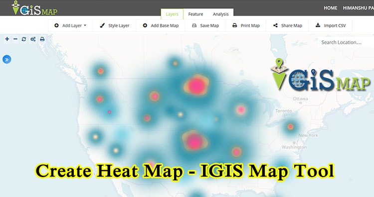
Create Heat Map – IGISMap Tool Now MAPOG

Using Heat map is very effective way of visualizing points data. To create Heat map, first of all you must know what is heat map. When map visual of a location data is so dense and tightly packed that it does not make much sense a heat map is used. Heat maps are ordinarily used … Continue reading “Create Heat Map – IGISMap Tool Now MAPOG”

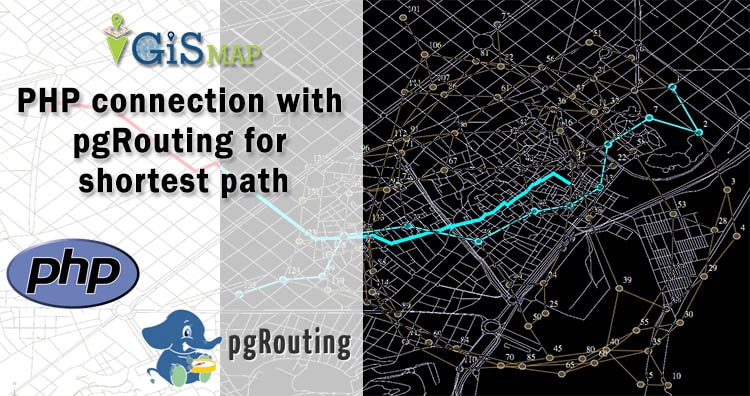
PHP connection with pgRouting for shortest path

Here in this post we do PHP connection with pgRouting for shortest path. Here we have explained how we can add source and destination point in table and how can we query for shortest route. In this demo we have made a connection between pgrouting and PHP using code igniter using code igniter framework. Here we … Continue reading “PHP connection with pgRouting for shortest path”

GIS Data Conversion

In this post we are going to focus on one of the important topic of GIS world, which is the “DATA CONVERSION”. Data Conversion means converting computer data into another format. With huge amounts of GIS data available for use, it is more cost-efficient and effective to convert the GIS data from one format to … Continue reading “GIS Data Conversion”

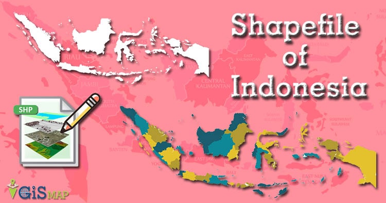
Download Indonesia Administrative Boundary Shapefiles – Provinces, Districts, Sub Districts and more

Hello GIS enthusiasts, IGISMAP has now published the latest GIS vector data of Indonesia administrative levels. Links for downloading the shapefiles of the important administrative divisions of Indonesia are provided in the following. You can also download these data in KML, GeoJSON or CSV formats.  Note: Download Free Shapefile Data of Indonesia Indonesia, officially the … Continue reading “Download Indonesia Administrative Boundary Shapefiles – Provinces, Districts, Sub Districts and more”