QGIS 3.4.4 tutorial : Creating, Editing and Mapping in GIS

Hello Folks if you are looking for QGIS 3.4.4 tutorial then you are at right place. Here in this article QGIS 3.4.4 tutorial : Creating, Editing and Mapping in GIS you will grasp to create new shapefile. QGIS 3.4.4 tutorial : Creating, Editing and Mapping in GIS Before creating new map layer go to browser panal. … Continue reading “QGIS 3.4.4 tutorial : Creating, Editing and Mapping in GIS”
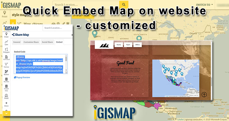
Quick Embed Customized Map on website

Quick Embed Customized Map on website is a easiest way of adding a map on your website. And make your website interactive by embedding map on it. Maps are more attractive then numbers and words. It is also beneficial for  your business. Quick Embed Customized Map on website  – Using Igis Map Tool Benefits of Embed … Continue reading “Quick Embed Customized Map on website”

QGIS Tutorial – 3D Map view in QGIS 3.4.6

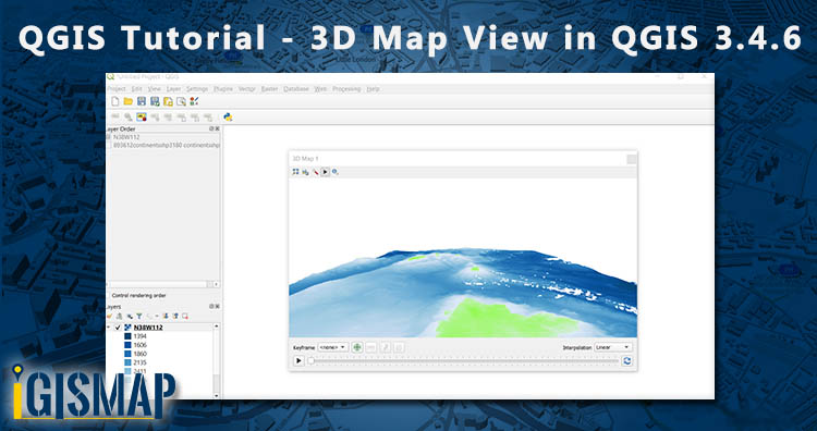
Hi GIS learners here in this series of QGIS Tutorial we learn 3D Map view in QGIS 3.4.6. For 3D view you need DEM – Digital Elevation Model. If DEM alien to you then first understand what is DEM. What is DEM? Digital Elevation Model abbreviated as DEM is a 3D view or raster representation … Continue reading “QGIS Tutorial – 3D Map view in QGIS 3.4.6”

Convert Shapefile to DXF

Shapefile is a vector GIS format developed by Esri. It stores geographical information data. Shapefile have three geometries point, line and polygon. GIS data can be stored in different formats and the conversion of data from one format to other is also possible. So in this post we convert Shapefile to DXF. Before conversion lets know … Continue reading “Convert Shapefile to DXF”

Download Papua New Guinea Administrative Boundary Shapefiles – Provinces, Districts, Municipalities and More

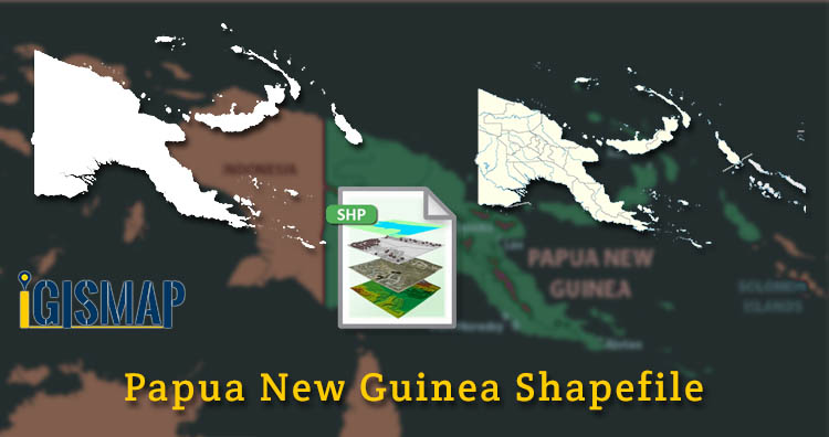
Hello GIS enthusiasts, IGISMAP has now published the latest GIS vector data of Papua New Guinea administrative levels. Links for downloading the shapefiles of the important administrative divisions of Papua New Guinea are provided in the following. You can also download these data in KML, GeoJSON or CSV formats.  Note: Download Free Shapefile Data of … Continue reading “Download Papua New Guinea Administrative Boundary Shapefiles – Provinces, Districts, Municipalities and More”

Download Denmark Administrative Boundary Shapefiles – Regions, Municipalities, Postal Areas and More

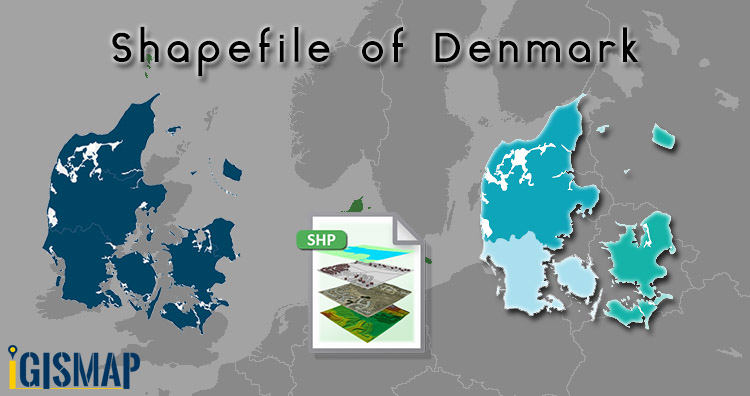
Hello GIS enthusiasts, IGISMAP has now published the latest GIS vector data of Denmark administrative levels. Links for downloading the shapefiles of the important administrative divisions of Denmark are provided in the following. You can also download these data in KML, GeoJSON or CSV formats.  Note: Download Free Shapefile Data of Denmark Denmark is a … Continue reading “Download Denmark Administrative Boundary Shapefiles – Regions, Municipalities, Postal Areas and More”

Download Poland Administrative Boundary Shapefiles – States, Counties, Municipalities and more

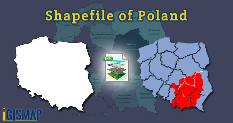
Hello GIS enthusiasts, IGISMAP has now published the latest GIS vector data of Poland administrative levels. Links for downloading the shapefiles of the important administrative divisions of Poland are provided in the following. You can also download these data in KML, GeoJSON or CSV formats. Note: Download Free Shapefile Data of Poland Poland, officially the … Continue reading “Download Poland Administrative Boundary Shapefiles – States, Counties, Municipalities and more”

Download South Korea GIS Data – Provinces, Highway Lines, Airport Locations and More

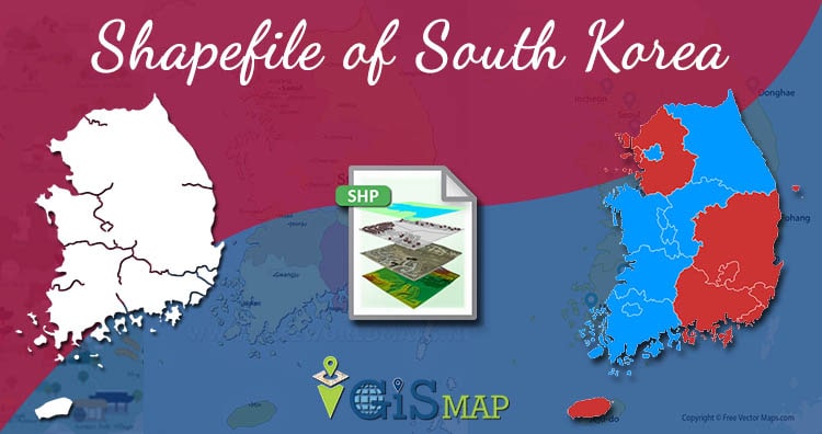
Hello GIS enthusiasts, IGISMAP has now published the latest GIS vector data of South Korea administrative levels. Links for downloading the shapefiles of the important administrative divisions of South Korea are provided in the following. You can also download these data in KML, GeoJSON or CSV formats.  Note: Download Free Shapefile Data of South Korea … Continue reading “Download South Korea GIS Data – Provinces, Highway Lines, Airport Locations and More”

What is Remote Sensing ?

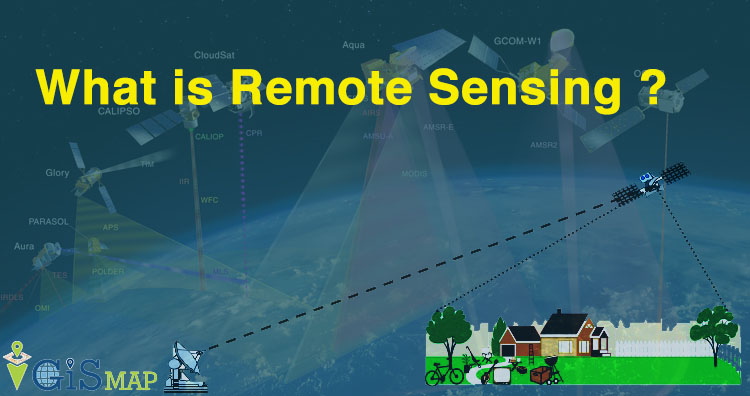
Hey GIS learner today we assimilate  about  what is Remote Sensing ? The word Remote means not exactly in contact or physical contact, something which is situated far away or distant, far away could be slightly far away or very far away and Sensing means getting information  and data. In the above gif you can see … Continue reading “What is Remote Sensing ?”

GIS Tutorial – Basic Spatial Elements – Points, Lines and Polygons

In GIS (Geographical Information System) vector data represents the information in points, lines and polygons. In GIS, you connect data with geography. So in this blog we discuss about GIS Tutorial basic spatial elements – Points, Lines and Polygons. Vector data formats represents geographical space that is intuitive and reminiscent of analog maps. With the MAPOG Spatial … Continue reading “GIS Tutorial – Basic Spatial Elements – Points, Lines and Polygons”