Convert KML to PDF
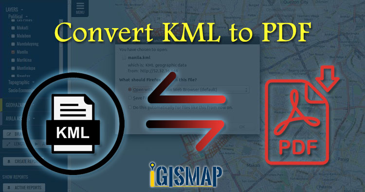
KML or Keyhole Markup Language is a collection of geospatial data on map and commonly used in Google Earth or google services, while PDF stands for Portable Document Format is used for digital exchange. KML and PDF is a type of vector format of GIS data. Using IGIS Map Tool you can easily convert – KML to … Continue reading “Convert KML to PDF”