The Map Analysis tool IGISMAP is one of the best alternative to ArcGIS Online. There are many benefits of using IGISMAP over ArcGIS Online. Likewise both tend to achieve the same purpose, i.e., even without GIS Skills you can make a map with your data, share the map and can embed in your website, directly … Continue reading “Best ArcGIS online Alternative – IGISMAP”
We are glad you are here let’s kickstart your journey with us. After signing you will be landed on dashboard. Explore – Dashboard of Analysis & Share Map My Map – Show list of all the maps. My Data – Show list of all the layers. Pricing – Here you can check your plan, upgrade … Continue reading “Explore – Features, Screens”
Forgot Password Calm down! if you forgot your password. You can easily retrieve your password with a single step. Click on the forgot password in the login screen. Type your registered email id. A link is sent on your email id. Click on the link you received on the email. Type your new password and … Continue reading “Forgot/Change Password”
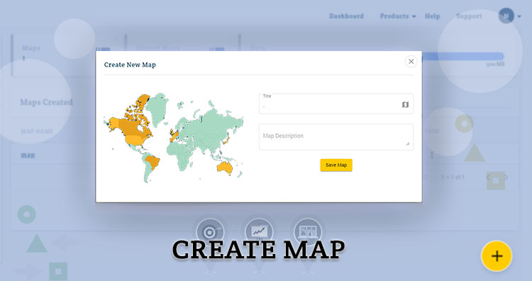
Login with email id and password and next screen will be the dashboard. For creating a map click on plus button. A modal will appear on the screen. Give a title to your map and write description if you want to write. In the last tap on create map. After creating map you will be … Continue reading “Create a Map”
Signup For creating map go to Analysis & Share map tool and register using valid email id Or choose Analysis & Share Map option from the product in the navbar. Once you fill all the information click on submit button. A verification link is sent on your email id which you have provided during registration. … Continue reading “Login or Register”
You can upload your file using drag & drop or browse it from the system. After upload next step is to select the output of the file. Input file CRS is displayed on the screen. You can check bounding box of input file also. If you want to change CRS or want to change the … Continue reading “Gis File Converter”
For conversion of gis data formats go to Converter and register using valid email id or login if already registered. A verification link is sent on your email id. Through that link you can activate the account and set password. Now you are good to go. Convert your GIS file in few steps.
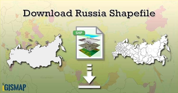
Hello GIS enthusiasts, IGISMAP has now published the latest GIS vector data of Russia administrative levels. Links for downloading the shapefiles of the important administrative divisions of Russia are provided in the following. You can also download these data in KML, GeoJSON or CSV formats. Note: Download Free Shapefile Data of Russia Russia or the … Continue reading “Download Russia Shapefiles – Administrative Boundaries, Highway and Railway lines, Ferry, Airport and Aerodrome Points”

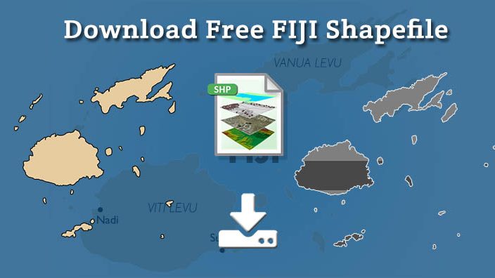
Hello GIS enthusiasts, IGISMAP has now published the latest GIS vector data of Austria administrative levels. Links for downloading the shapefiles of the important administrative divisions of Austria are provided in the following. You can also download these data in KML, GeoJSON or CSV formats. Download Fiji Shapefile Download link for both shapefile is provided. … Continue reading “Download Fiji Shapefile free – City, polygon, boundary”
Hello GIS enthusiasts, IGISMAP has now published the latest GIS vector data of Netherland administrative levels. Links for downloading the shapefiles of the important administrative divisions of Netherland are provided in the following. You can also download these data in KML, GeoJSON or CSV formats. Note: Download Free Shapefile Data of Netherland Netherland, informally Holland, … Continue reading “Download Netherland Shapefiles – Administrative Boundaries, Highway and Railway lines, Ferry, Airport and Aerodrome Points”