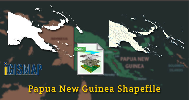
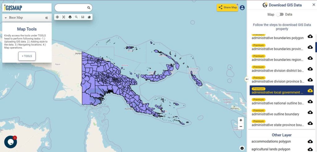
Hello GIS enthusiasts, IGISMAP has now published the latest GIS vector data of Papua New Guinea administrative levels. Links for downloading the shapefiles of the important administrative divisions of Papua New Guinea are provided in the following. You can also download these data in KML, GeoJSON or CSV formats.
Note:
- All data available are in GCS datum EPSG:4326 WGS84 CRS (Coordinate Reference System).
- You need to login for downloading the shapefile.
Download Free Shapefile Data of Papua New Guinea
Papua New Guinea officially the Independent State of Papua New Guinea is a country in Oceania that comprises the eastern half of the island of New Guinea and its offshore islands in Melanesia (a region of the southwestern Pacific Ocean north of Australia). Its capital, located along its southeastern coast, is Port Moresby. The country is the world’s third largest island country with an area of 462,840 km2 (178,700 sq mi).
Download Papua New Guinea National Outline Boundary Shapefile
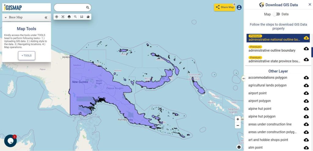
Download Papua New Guinea Provinces Shapefile Data
For administrative purposes, Papua New Guinea is divided into administrative divisions called provinces. There are 22 province-level divisions, which include 20 provinces, the autonomous region of Bougainville and the National Capital District of Port Moresby.
Download Papua New Guinea Province Boundaries Shapefile
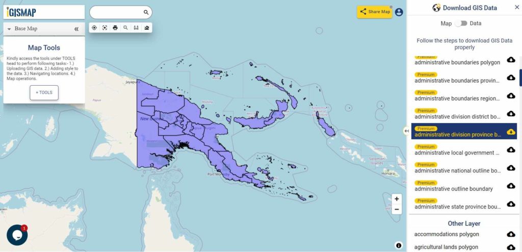
Download Papua New Guinea Districts Shapefile Data
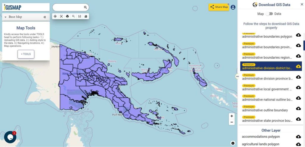
Download Papua New Guinea District Boundaries Shapefile
Download Papua New Guinea Municipalities Shapefile Data
Download Papua New Guinea Municipality Boundaries Shapefile
Other GIS Data:
- Download Papua New Guinea Highway Lines Shapefile
- Download Papua New Guinea Airport Points Shapefile
- Download Papua New Guinea Ferry Terminal Points Shapefile
Please note that the Papua New Guinea data provided here is license under Open Data Commons Open Database License (ODbL). Please review the same before using it. If you want data under different license you can also look over to the post : Download Free Shapefile Maps – Country Boundary Polygon, Rail-Road, Water polyline etc
Download Free Shapefile for the following:
- World Countries Shapefile
- Australia
- Argentina
- Austria
- Belgium
- Brazil
- Canada
- Denmark
- Fiji
- Finland
- Germany
- Greece
- India
- Indonesia
- Ireland
- Italy
- Japan
- Kenya
- Lebanon
- Madagascar
- Malaysia
- Mexico
- Mongolia
- Netherlands
- New Zealand
- Nigeria
- Papua New Guinea
- Philippines
- Poland
- Russia
- Singapore
- South Africa
- South Korea
- Spain
- Switzerland
- Tunisia
- United Kingdom Shapefile
- United States of America
- Vietnam
- Croatia
- Chile
- Norway
Disclaimer : If you find any shapefile data of country provided is in correct do contact us or comment below, so that we will correct the same in our system as well we will try to correct the same in openstreetmap.