Effortlessly explore Mongolia’s geographical data through MAPOG. Discover a wide range of datasets of Mongolia GIS Data including comprehensive information on borders, rivers, roads, and airports. Utilizing tools such as Download GIS Data and Add GIS Data is straightforward. You have the option to select formats like Shapefile, KML, GeoJSON, and CSV with the Download GIS Data tool. For a step-by-step guide on utilizing the Add GIS Data tool refer to ” Add GIS data from IGISMap GIS data collection..” This guide provides instructions for obtaining administrative GIS data using the Download GIS Data feature. Trust MAPOG to enhance your understanding of Mongolia’s geography.
With MAPOG’s versatile toolkit, you can effortlessly upload vector , upload Excel or CSV data, incorporate existing files, perform polygon splitting and merging, generate new polygon and polyline data, use the converter for various formats, conduct buffer analysis, create grids, transform points into polygons, calculate isochrones.
We offer an extensive array of data formats, including KML, SHP, CSV, GeoJSON, Tab, SQL, Tiff, GML, KMZ, GPKZ, SQLITE, Dxf, MIF, TOPOJSON, XLSX, GPX, ODS, MID, and GPS, ensuring compatibility and accessibility for various applications and analyses.
Note:
- All data available are in GCS datum EPSG:4326 WGS84 CRS (Coordinate Reference System).
- You need to login for downloading the shapefile.
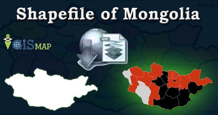
Download Shapefile Data of Mongolia
Mongolia is a landlocked country in East Asia, bordered by Russia to the north and China to the south. It covers an area of 1,564,116 square kilometers (603,909 square miles), with a population of just 3.3 million, making it the world’s most sparsely populated sovereign nation. Mongolia is the world’s largest landlocked country that does not border a closed sea, and much of its area is covered by grassy steppe, with mountains to the north and west and the Gobi Desert to the south. Ulaanbaatar, the capital and largest city, is home to roughly half of the country’s population.
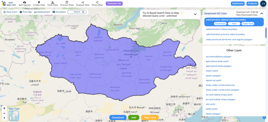
Download Mongolia National Outline Boundary Shapefile
Download Mongolia Regions Shapefile Data
Mongolia is geographically divided into 4 regions:
- Central Region
- Eastern Region
- Khangai Region
- Western Region
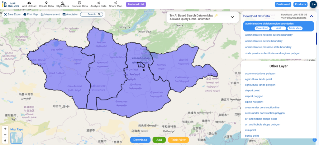
Download Mongolia Region Boundaries Shapefile
Download Mongolia Provinces Shapefile Data
Mongolia is divided into 21 provinces or aimags and one provincial municipality, whose boundaries are available in the following polygon GIS data provided by IGISMAP.
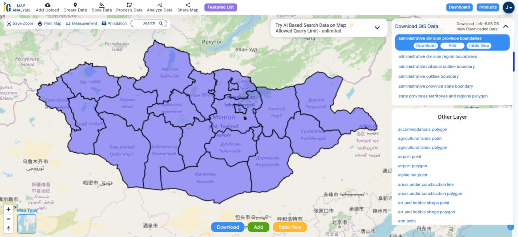
Download Mongolia Province Boundaries Shapefile
Here is the list of the 21 provinces of Mongolia :
- Arkhangai Province
- Bayan-Ölgii Province
- Bayankhongor Province
- Bulgan Province
- Darkhan-Uul Province
- Dornod Province
- Dornogovi Province
- Dundgovi Province
- Govi-Altai Province
- Govisümber Province
- Khentii Province
- Khovd Province
- Khövsgöl Province
- Ömnögovi Province
- Orkhon Province
- Övörkhangai Province
- Selenge Province
- Sükhbaatar Province
- Töv Province
- Uvs Province
- Zavkhan Province
Download Mongolia Districts Shapefile Data
In Mongolia, a district (locally known as “сум” or “sum,” meaning “arrow” in Mongolian) is a secondary administrative division. Mongolia’s 21 provinces are further divided into a total of 331 districts, each serving as a second-level administrative subdivision.
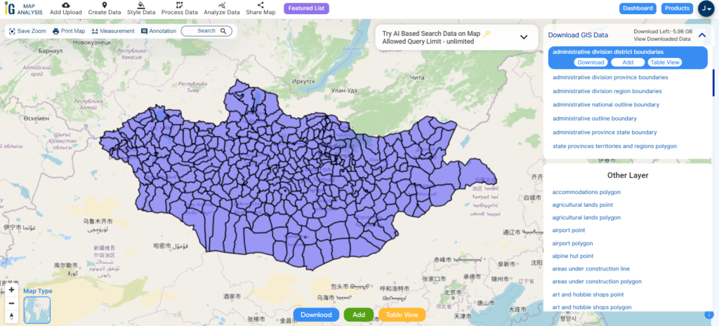
Download Mongolia District Boundaries Shapefile
Other Administrative Boundary Data:
Other GIS Data:
- Download Mongolia Highway Lines Shapefile
- Download Mongolia Railway Lines Shapefile
- Download Mongolia Airport Locations Shapefile
- Download Mongolia Ferry Terminal Locations Shapefile
Above all links are provided for GIS data of Mongolia if you are looking for any specific data please write us on support@igismap.com
Download Shapefile for the following:
- World Countries Shapefile
- Australia
- Argentina
- Austria
- Belgium
- Brazil
- Canada
- Denmark
- Fiji
- Finland
- Germany
- Greece
- India
- Indonesia
- Ireland
- Italy
- Japan
- Kenya
- Lebanon
- Madagascar
- Malaysia
- Mexico
- Mongolia
- Netherlands
- New Zealand
- Nigeria
- Papua New Guinea
- Philippines
- Poland
- Russia
- Singapore
- South Africa
- South Korea
- Spain
- Switzerland
- Tunisia
- United Kingdom Shapefile
- United States of America
- Vietnam
- Croatia
- Chile
- Norway
- Maldives
- Bhutan
- Colombia
- Libya
- Comoros
- Hungary
- Laos
- Estonia
- Iraq
- Portugal
- Azerbaijan
- Macedonia
- Romania
- Peru
- Marshall Islands
- Slovenia
- Nauru
- Guatemala
- El Salvador
- Afghanistan
- Cyprus
- Syria
- Slovakia
- Luxembourg
- Jordan
- Armenia
- Haiti And Dominican Republic
Disclaimer : If you find any shapefile data of country provided is incorrect do contact us or comment below, so that we will correct the same in our system as well we will try to correct the same in openstreetmap.