Hello GIS enthusiasts, IGISMAP has now published the latest GIS vector data of Kenya administrative levels. Links for downloading the shapefiles of the important administrative divisions of Kenya are provided in the following. You can also download these data in KML, GeoJSON or CSV formats.
Note:
- All data available are in GCS datum EPSG:4326 WGS84 CRS (Coordinate Reference System).
- You need to login for downloading the shapefile.
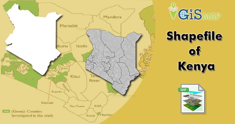
Download Free Shapefile Data of Kenya
Kenya, officially the Republic of Kenya, is a country in Eastern Africa. At 580,367 square kilometers (224,081 sq mi), Kenya is the world’s 48th largest country by area. With a population of more than 47.6 million in the 2019 census, Kenya is the 29th most populous country in the world. Kenya’s capital and largest city is Nairobi, while its oldest, currently second largest city, and first capital is the coastal city of Mombasa. Kisumu City is the third-largest city and also an inland port on Lake Victoria.
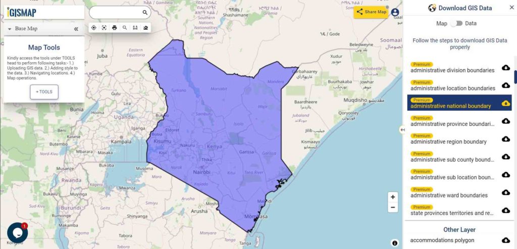
Download Kenya National Outline Boundary Shapefile
Download Kenya Province Shapefile Data
Kenya is divided into eight provinces, namely, Nairobi (the capital city), Central, Coast, Eastern, North Eastern, Nyanza, Rift Valley and Western.
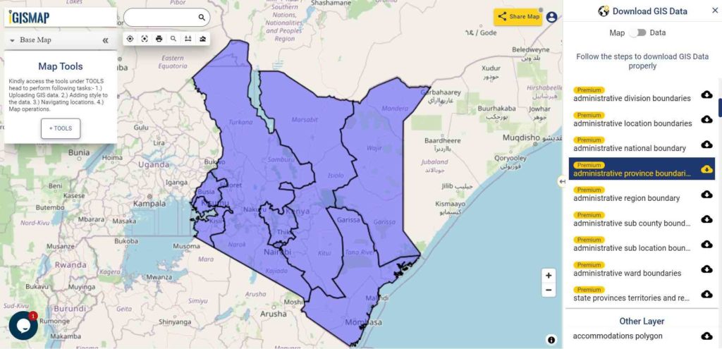
Download Kenya Provinces Boundaries Shapefile
Download Kenya Districts Shapefile Data
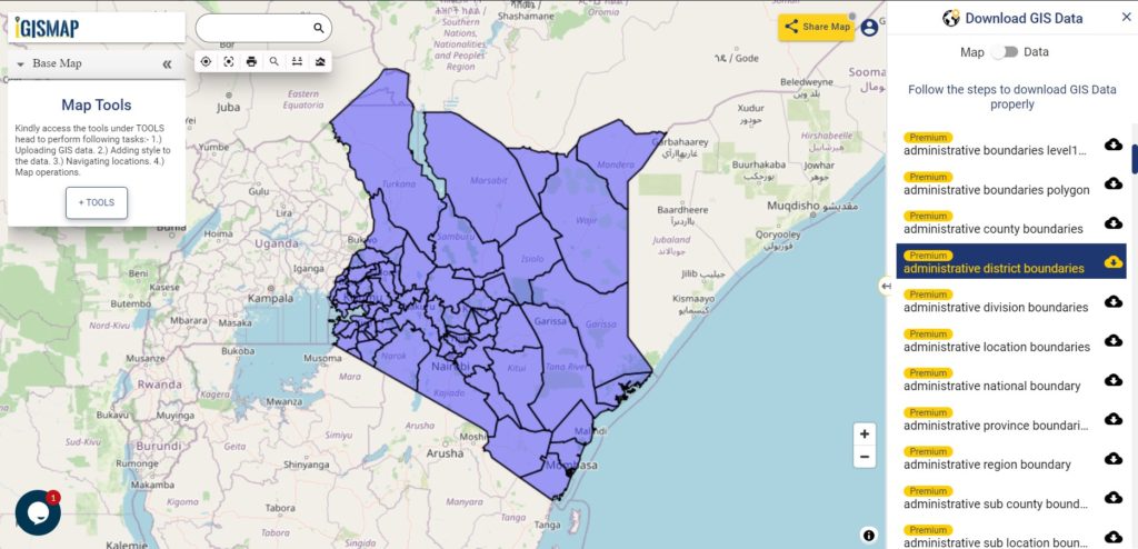
Download Kenya District Boundaries Shapefile
Download Kenya Counties Shapefile Data
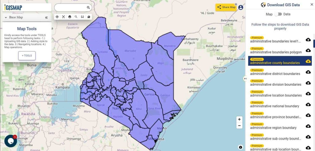
Download Kenya Counties Boundaries Shapefile
Other Administrative Shapefile Data:
- Download Kenya Sub Counties Boundaries Shapefile
- Download Kenya Ward Boundaries Shapefile
- Download Kenya Location Boundaries Shapefile
- Download Kenya Sub Location Boundaries Shapefile
- Download Kenya Division Boundaries Shapefile
Other GIS Data:
- Download Kenya Highway Lines Shapefile
- Download Kenya Railway Bridge Shapefile
- Download Kenya Airport Locations Shapefile
- Download Kenya Ferry Terminal Locations Shapefile
Please note that the Kenya data provided here is license under Open Data Commons Open Database License (ODbL). Please review the same before using it. If you want data under different license you can also look over to the post : Download Free Shapefile Maps – Country Boundary Polygon, Rail-Road, Water polyline etc
Disclaimer : If you find any issues with the shapefile data of any countries please let us know by commenting below, so that we will correct the same in our system as well we will try to correct the same in openstreetmap.
Download Free Shapefile for the following:
- World Countries Shapefile
- Australia
- Argentina
- Austria
- Belgium
- Brazil
- Canada
- Denmark
- Fiji
- Finland
- Germany
- Greece
- India
- Indonesia
- Ireland
- Italy
- Japan
- Kenya
- Lebanon
- Madagascar
- Malaysia
- Mexico
- Mongolia
- Netherlands
- New Zealand
- Nigeria
- Papua New Guinea
- Philippines
- Poland
- Russia
- Singapore
- South Africa
- South Korea
- Spain
- Switzerland
- Tunisia
- United Kingdom Shapefile
- United States of America
- Vietnam
- Croatia
- Chile
- Norway
Disclaimer : If you find any shapefile data of country provided is in correct do contact us or comment below, so that we will correct the same in our system.
hello,
can I please get free trial.
I just need to create some GIS maps for practice.