
In GIS (Geographical Information System) vector data represents the information in points, lines and polygons. In GIS, you connect data with geography. So in this blog we discuss about GIS Tutorial basic spatial elements – Points, Lines and Polygons. Vector data formats represents geographical space that is intuitive and reminiscent of analog maps.
With the MAPOG Spatial Tool You can Create Point, Line and Polygon Shape Online
Basic Spatial Elements – Points, Lines and Polygons
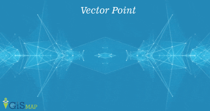
Vector Point Data –
A point uses a single coordinate pair to define its location. Attributes of point describes its features. Points are considered to have no dimension even though in real world it have dimensions. Examples of Point data is power poles, telephone poles, a building.
In the below GIF you can see point feature.
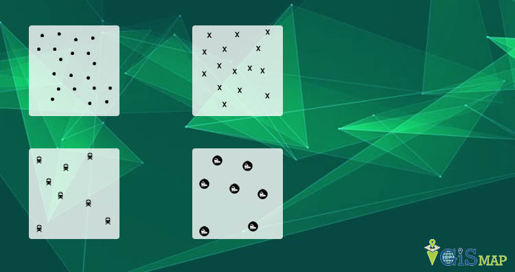
In the below image you can see different points but all are representing railway station.
Vector Line Data –
When these points are connected then point data is converted into vector line data but it should not be enclosed . It uses a ordered set of coordinates. Line feature have multiple lines and points. Attributes may attach in every line, node and vertices. Hence each line may have multiple attributes rows of table. Examples of vector line data is road lines, topographic lines, power line, object outlines.
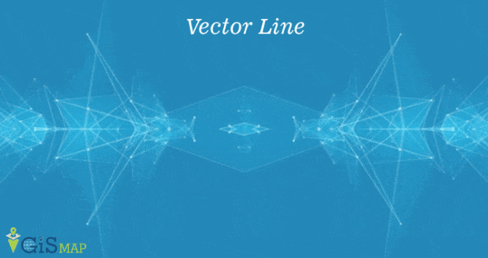
In the above GIF you can see vector line feature. It defines GIS very well by connecting data with location.
Vector Polygon Data –
When lines are connected into enclosed shape then this type of data termed as polygon data. Polygon should be closed. The start and end point should have the same coordinates. Examples of vector polygon feature are school boundary, city or any political line.

Above GIF showing the vector polygon feature.
MAPOG Online Tool to Create Line Polygon and Point
This is all about vector point, line and polygon feature. We have learned that vector data is used to represent real world data into point, line and polygon features. And each vector feature has attribute which shows its information. We try our level best, still you have doubt please do comment below.
More free Tutorial are –
One thought on “GIS Tutorial – Basic Spatial Elements – Points, Lines and Polygons”