GIS Data and Maps of Wisconsin State is used by planners and surveyors for visualizing and identifying the patterns that are difficult to examine when data is in table form. Here you can download the GIS data of the state boundary, county division, rail and highway maps in just a few clicks. You can use these data for analysis in MAPOG itself or download them in any suitable GIS format. You can download these data in KML, GeoJSON, CSV or Shapefile formats.
Note:
- All data available are in GCS datum EPSG:4326 WGS84 CRS (Coordinate Reference System).
- You need to login for downloading the shapefile.
Download Shapefile Data of Wisconsin State
Wisconsin is a state in the Upper Midwest region of the United States. Madison city is the capital city of the state. In addition, if you are looking for any other GIS formats then use GIS File Converter.
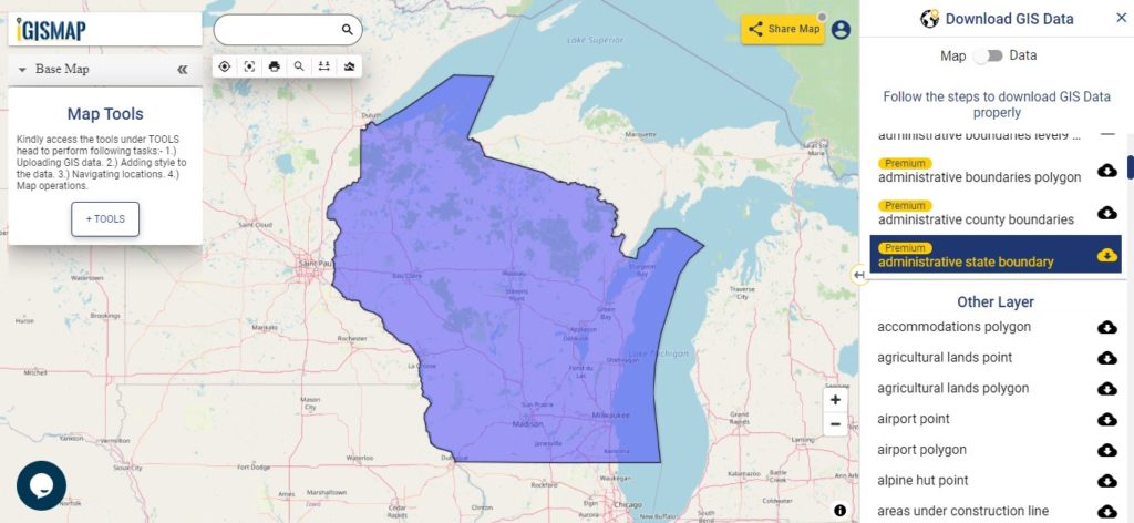
Download Wisconsin State Outline Boundary Shapefile
In the above screen boundary map of Wisconsin state. This is the map view for the data table switch button from the map to the data. The layer name is provided on the right side of the screen. For download click on the button placed beside the map layer name. You can locate your store/ shop on a map.
Download Wisconsin Counties Shapefile Data
There are 72 counties in the U.S. state of Wisconsin. For a polygon map click on the link given below.
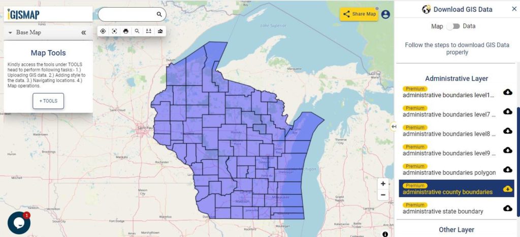
Download Wisconsin County Boundary Shapefile
Polygon map with county division is visible on the above screen. You can easily download and upload in a tool for free and create a map from GIS data. Edit, format, add attribute column and share it with your colleagues.
Above all Layers cover GIS data of following Counties –
| Adams County |
| Ashland County |
| Barron County |
| Bayfield County |
| Brown County |
| Buffalo County |
| Burnett County |
| Calumet County |
| Chippewa County |
| Clark County |
| Columbia County |
| Crawford County |
| Dane County |
| Dodge County |
| Door County |
| Douglas County |
| Dunn County |
| Eau Claire County |
| Florence County |
| Fond du Lac County |
| Forest County |
| Grant County |
| Green County |
| Green Lake County |
| Iowa County |
| Iron County |
| Jackson County |
| Jefferson County |
| Juneau County |
Highway Line Gis Data of Wisconsin State
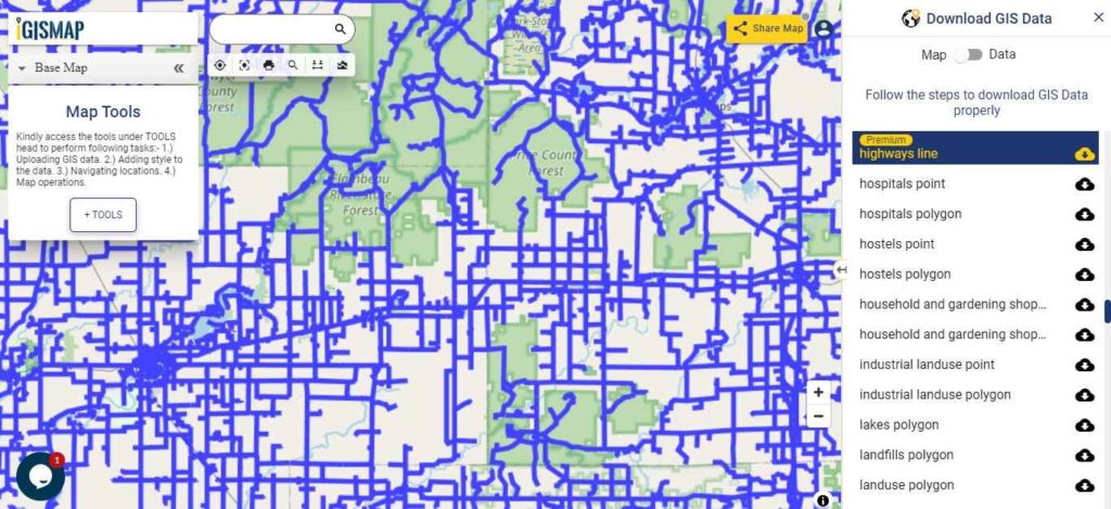
Download Wisconsin Highway lineShapefile
Zoom in view of highway line map is shown shown above. Similarly, you can easily download point based GIS data of airport point, ATM point, parking area, hospital location, etc.
Railways Line Gis Data of Wisconsin U.S. State
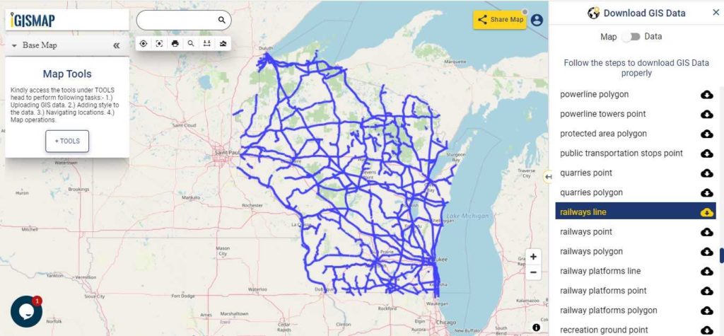
Download Wisconsin Railway line Shapefile
In the above screen railways line map is shown. Likewise, you can download residential land use point, polygon, restaurants, business gis data layers.
Download GIS Data of other states of USA:
- Alabama
- Alaska
- Arizona
- Arkansas
- California
- Colorado
- Connecticut
- Florida
- Georgia
- Hawaii
- Idaho
- Illinois
- Indiana
- Iowa
- Kansas
- Massachusetts
- Maryland
- Michigan
- Minnesota
- Mississipi
- Missouri
- Montana
- Nevada
- Nebraska
- Ohio
- Oklahoma
- Pennsylvania
- Utah
- Vermont
- Washington
- Wisconsin
- Wyoming
- Tennessee
- Texas
- Kentucky
- Louisiana
- Maine
- North Carolina
- Oregon
- Virginia
- West Virginia
Disclaimer : If you find any shapefile data of country provided is in correct do contact us or comment below, so that we will correct the same in our system.