Hello GIS enthusiasts, IGISMAP has now published the latest GIS vector data of Tunisia administrative levels. Links for downloading the shapefiles of the important administrative divisions of Tunisia are provided in the following. You can also download these data in KML, GeoJSON or CSV formats.
Note:
- All data available are in GCS datum EPSG:4326 WGS84 CRS (Coordinate Reference System).
- You need to login for downloading the shapefile.
Download Free Shapefile Data of Tunisia
Tunisia, officially the Republic of Tunisia, is the northernmost country in Africa. It is a part of the Maghreb region of North Africa, and is bordered by Algeria to the west and southwest, Libya to the southeast, and the Mediterranean Sea to the north and east, covering 163,610 km2 (63,170 sq mi), with a population of 11 million. It contains the eastern end of the Atlas Mountains and the northern reaches of the Sahara desert, with much of its remaining territory being arable land. Its 1,300 km (810 mi) of coastline include the African conjunction of the western and eastern parts of the Mediterranean Basin. Tunisia is home to Africa’s northernmost point, Cape Angela; and its capital and largest city is Tunis, located on its northeastern coast, which lends the country its name.
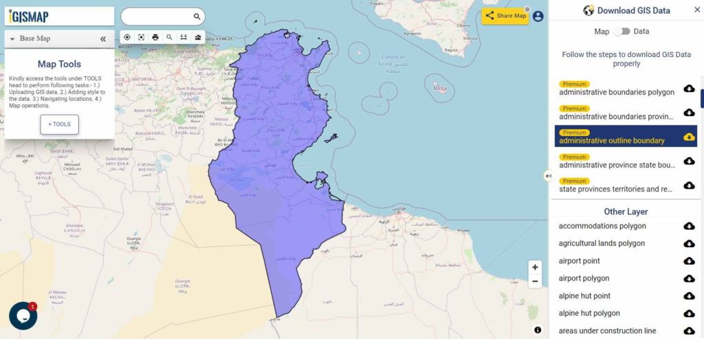
Download Tunisia National Outline Boundary Shapefile
Download Tunisia Province Shapefile Data
It Covers Ariana, Beja, Ben Arous, Bizerte, El Kef, Gabes, Gafsa, Jendouba, Kairouan, Kasserine, Kebili, Mahdia, Manouba, Medenine, Monastir, Nabeul, Sfax, Sidi Bouzid, Siliana, Sousse, Tataouine, Tozeur, Tunis and Zaghouan.
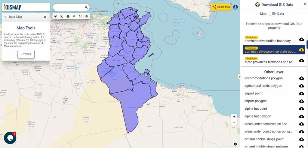
Download Tunisia Province Boundaries Shapefile
Download Tunisia Highway Lines Shapefile Data
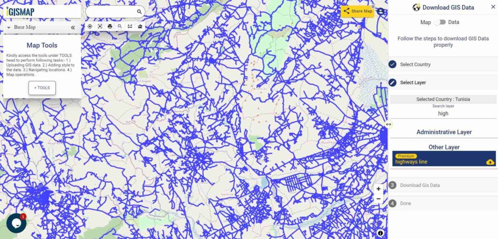
Download Tunisia Highway Line Shapefile
Above shown image is the zoomed in image of the highway line vector data of Tunisia
Download Tunisia Airport Points Shapefile Data
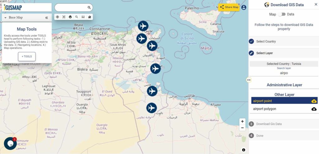
Download Tunisia Airport Locations Shapefile
Please note that the Tunisia data provided here is license under Open Data Commons Open Database License (ODbL). Please review the same before using it. If you want data under different license you can also look over to the post : Download Free Shapefile Maps – Country Boundary Polygon, Rail-Road, Water polyline etc
Download Free Shapefile for the following:
- World Countries Shapefile
- Australia
- Argentina
- Austria
- Belgium
- Brazil
- Canada
- Denmark
- Fiji
- Finland
- Germany
- Greece
- India
- Indonesia
- Ireland
- Italy
- Japan
- Kenya
- Lebanon
- Madagascar
- Malaysia
- Mexico
- Mongolia
- Netherlands
- New Zealand
- Nigeria
- Papua New Guinea
- Philippines
- Poland
- Russia
- Singapore
- South Africa
- South Korea
- Spain
- Switzerland
- Tunisia
- United Kingdom Shapefile
- United States of America
- Vietnam
- Croatia
- Chile
- Norway
Disclaimer : If you find any shapefile data of country provided is in correct do contact us or comment below, so that we will correct the same in our system as well we will try to correct the same in openstreetmap.
One thought on “Download Tunisia GIS Data – Provinces, Highway Lines, Airport Locations and More”