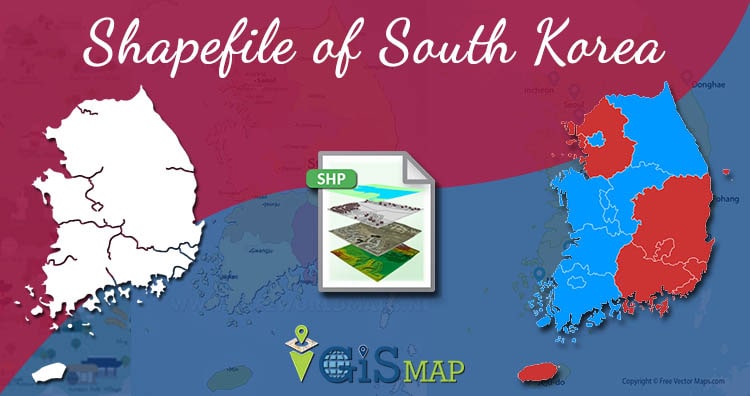
Hello GIS enthusiasts, IGISMAP has now published the latest GIS vector data of South Korea administrative levels. Links for downloading the shapefiles of the important administrative divisions of South Korea are provided in the following. You can also download these data in KML, GeoJSON or CSV formats.
Note:
- All data available are in GCS datum EPSG:4326 WGS84 CRS (Coordinate Reference System).
- You need to login for downloading the shapefile.
Download Free Shapefile Data of South Korea
South Korea, officially the Republic of Korea (ROK), is a country in East Asia, constituting the southern part of the Korean Peninsula and sharing a land border with North Korea. Its western border is formed by the Yellow Sea, while its eastern border is defined by the Sea of Japan. South Korea claims to be the sole legitimate government of the entire peninsula and adjacent islands. It has a population of 51.75 million, of which roughly half live in the Seoul Capital Area, the fifth largest metropolis in the world. Other major cities include Incheon, Busan, and Daegu.
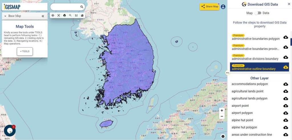
Download South Korea National Outline Boundary Shapefile
Download South Korea First Level Divisions Shapefile Data
South Korea is divided into 8 provinces (do), 1 special autonomous province (teukbyeol jachido), 6 metropolitan cities (gwangyeoksi), and 1 special city (teukbyeolsi).
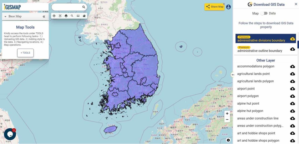
Download South Korea First Level Division Boundaries Shapefile
Other GIS Data:
- Download South Korea Highway Lines Shapefile
- Download South Korea Railway Lines Shapefile
- Download South Korea Airport Locations Shapefile
- Download South Korea Ferry Locations Shapefile
Please note that the South Korea data provided here is license under Open Data Commons Open Database License (ODbL). Please review the same before using it. If you want data under different license you can also look over to the post : Download Free Shapefile Maps – Country Boundary Polygon, Rail-Road, Water polyline etc
Download Free Shapefile for the following:
- World Countries Shapefile
- Australia
- Argentina
- Austria
- Belgium
- Brazil
- Canada
- Denmark
- Fiji
- Finland
- Germany
- Greece
- India
- Indonesia
- Ireland
- Italy
- Japan
- Kenya
- Lebanon
- Madagascar
- Malaysia
- Mexico
- Mongolia
- Netherlands
- New Zealand
- Nigeria
- Papua New Guinea
- Philippines
- Poland
- Russia
- Singapore
- South Africa
- South Korea
- Spain
- Switzerland
- Tunisia
- United Kingdom Shapefile
- United States of America
- Vietnam
- Croatia
- Chile
- Norway
Disclaimer : If you find any shapefile data of country provided is in correct do contact us or comment below, so that we will correct the same in our system as well we will try to correct the same in openstreetmap.