GIS Data and Maps of Ohio State is used by planners and surveyors for visualizing and identifying the patterns that are difficult to examine when data is in table form. Here you can download the GIS data of the state boundary, county division, rail and highway maps in just a few clicks. You can use these data for analysis in MAPOG itself or download them in any suitable GIS format. You can download these data in KML, GeoJSON, CSV or Shapefile formats.
Note:
- All data available are in GCS datum EPSG:4326 WGS84 CRS (Coordinate Reference System).
- You need to login for downloading the shapefile.
Download Shapefile Data of Ohio
Ohio is a is a state in the Midwestern region of the United States. Of the fifty U.S. states, it is the 34th-largest by area, and with a population of nearly 11.8 million, is the seventh-most populous and tenth-most densely populated. The state’s capital and largest city is Columbus, with the Columbus metro area, Greater Cincinnati, and Greater Cleveland being the largest metropolitan areas. Ohio is bordered by Lake Erie to the north, Pennsylvania to the east, West Virginia to the southeast, Kentucky to the southwest, Indiana to the west, and Michigan to the northwest.
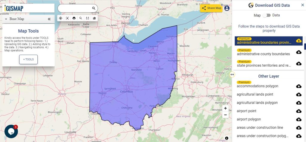
Download Ohio State Outline Boundary Shapefile
Download Ohio Counties Shapefile Data
There are 88 counties in the U.S. state of Ohio. For a polygon map click on the link given below.
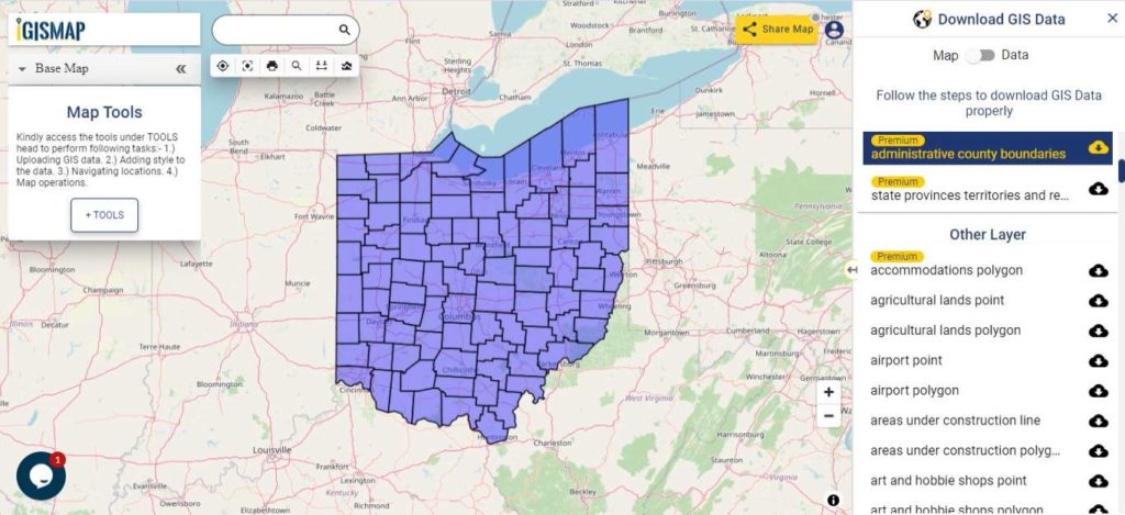
Download Ohio County Boundaries Shapefile
Polygon map with county division is visible on the above screen. You can easily download and upload in a tool for free and create a map from GIS data, edit the format, add attribute column and share it with your colleagues.
Above layer cover the boundary feature of the following counties
| Adams County |
| Allen County |
| Ashland County |
| Ashtabula County |
| Athens County |
| Auglaize County |
| Belmont County |
| Brown County |
| Butler County |
| Carroll County |
| Champaign County |
| Clark County |
| Clermont County |
| Clinton County |
| Columbiana County |
| Coshocton County |
| Crawford County |
| Cuyahoga County |
| Darke County |
| Defiance County |
| Delaware County |
| Erie County |
| Fairfield County |
| Fayette County |
| Franklin County |
| Fulton County |
| Gallia County |
| Geauga County |
| Greene County |
| Guernsey County |
| Hamilton County |
| Hancock County |
| Hardin County |
| Harrison County |
| Henry County |
| Highland County |
| Hocking County |
| Holmes County |
| Huron County |
| Jackson County |
| Jefferson County |
| Knox County |
| Lake County |
| Lawrence County |
| Licking County |
| Logan County |
| Lorain County |
| Lucas County |
| Madison County |
| Mahoning County |
| Marion County |
| Medina County |
| Meigs County |
| Mercer County |
| Miami County |
| Monroe County |
| Montgomery County |
| Morgan County |
| Morrow County |
| Muskingum County |
| Noble County |
| Ottawa County |
| Paulding County |
| Perry County |
| Pickaway County |
| Pike County |
| Portage County |
| Preble County |
| Putnam County |
| Richland County |
| Ross County |
| Sandusky County |
| Scioto County |
| Seneca County |
| Shelby County |
| Stark County |
| Summit County |
| Trumbull County |
| Tuscarawas County |
| Union County |
| Van Wert County |
| Vinton County |
| Warren County |
| Washington County |
| Wayne County |
| Williams County |
| Wood County |
Highway Line GIS Data of Ohio State
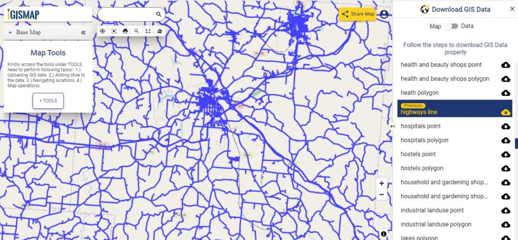
Download Ohio Highway Lines Shapefile
In the above map, zoom in view of highway line map is shown. Similarly, you can easily download point based GIS data of airport locations, ATM locations, parking locations, hospital location, etc..
Railways Line GIS Data of Ohio State
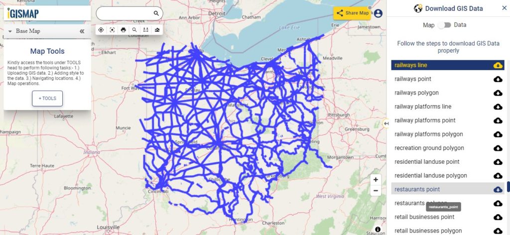
Download Ohio Railway Lines Shapefile
On the above screen, a railway line map is shown. Likewise, you can download residential land use points, polygon, restaurants, business GIS data layers.
Furthermore, for more specific data or issues in downloading above all links then write us at support@mapog.com. Similarly, if you want to upload any GIS data and perform various operations.
Download GIS Data of other states of USA:
- Alabama
- Alaska
- Arizona
- Arkansas
- California
- Colorado
- Connecticut
- Florida
- Georgia
- Hawaii
- Idaho
- Illinois
- Indiana
- Iowa
- Kansas
- Massachusetts
- Maryland
- Michigan
- Minnesota
- Mississipi
- Missouri
- Montana
- Nevada
- Nebraska
- Ohio
- Oklahoma
- Pennsylvania
- Utah
- Vermont
- Washington
- Wisconsin
- Wyoming
- Tennessee
- Texas
- Kentucky
- Louisiana
- Maine
- North Carolina
- Oregon
- Virginia
- West Virginia
Disclaimer : If you find any shapefile data of country provided is in correct do contact us or comment below, so that we will correct the same in our system.