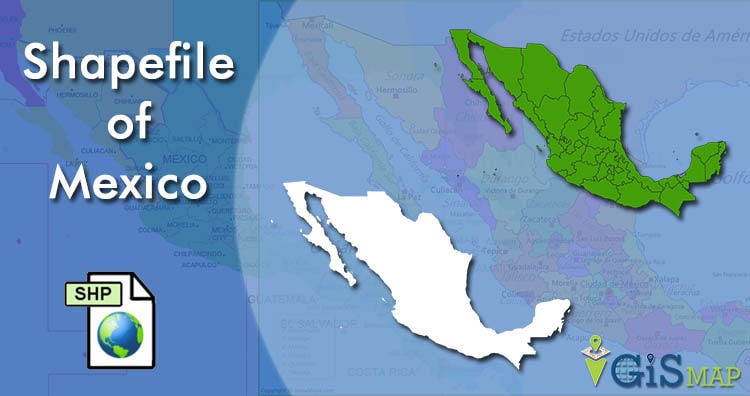
Hello GIS enthusiasts, IGISMAP has now published the latest GIS vector data of Mexico administrative levels. Links for downloading the shapefiles of the important administrative divisions of Mexico are provided in the following. You can also download these data in KML, GeoJSON or CSV formats.
Note:
- All data available are in GCS datum EPSG:4326 WGS84 CRS (Coordinate Reference System).
- You need to login for downloading the shapefile.
Download Free Shapefile Data of Mexico
Mexico, officially the United Mexican States, is a country in the southern portion of North America. It is bordered to the north by the United States; to the south and west by the Pacific Ocean; to the southeast by Guatemala, Belize, and the Caribbean Sea; and to the east by the Gulf of Mexico. Mexico covers 1,972,550 square kilometers (761,610 sq mi), making it the world’s 13th-largest country by area; with approximately 126,014,024 inhabitants, it is the 10th-most-populous country and has the most Spanish-speakers. Mexico is organized as a federal republic comprising 31 states and Mexico City, its capital. Other major urban areas include Monterrey, Guadalajara, Puebla, Toluca, Tijuana, Ciudad Juárez, and León.
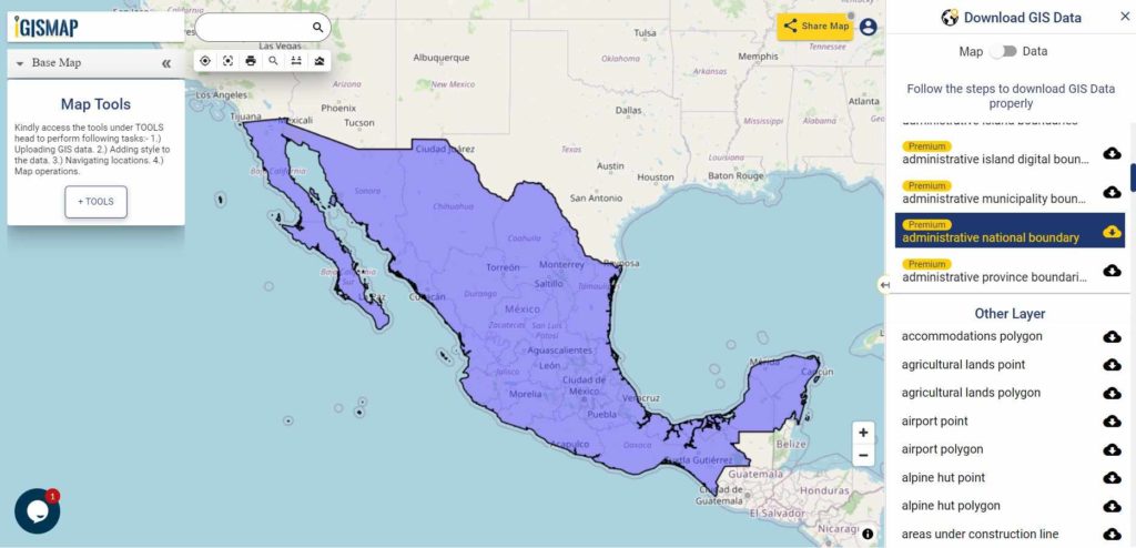
Download Mexico National Outline Boundary Shapefile
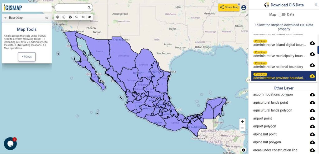
Download Mexico Province Shapefile Data
In the following shapefile of Mexico comprises 31 provinces and capital city Mexico City. 31 provinces of Mexico are listed below.
1) Chihuahua
2) Sonora
3) Coahuila
4) Durango
5) Oaxaca
6) Tamaulipas
7) Jalisco
8) Zacatecas
9) Baja California Sur
10) Chiapas
11) Veracruz
12) Baja California
13) Nuevo León
14) Guerrero
15) San Luis Potosí
16) Michoacán
17) Campeche
18) Sinaloa
19) Quintana Roo
20) Yucatán
21) Puebla
22) Guanajuato
23) Nayarit
24) Tabasco
25) México
26) Hidalgo
27) Querétaro
28) Colima
29) Aguascalientes
30) Morelos
31) Tlaxcala
Download Mexico Province Boundaries Shapefile
Download Mexico Municipalities Shapefile Data
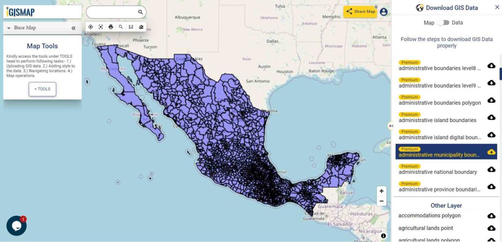
Download Mexico Municipality Boundaries Shapefile
Download Mexico Island Territories Shapefile Data
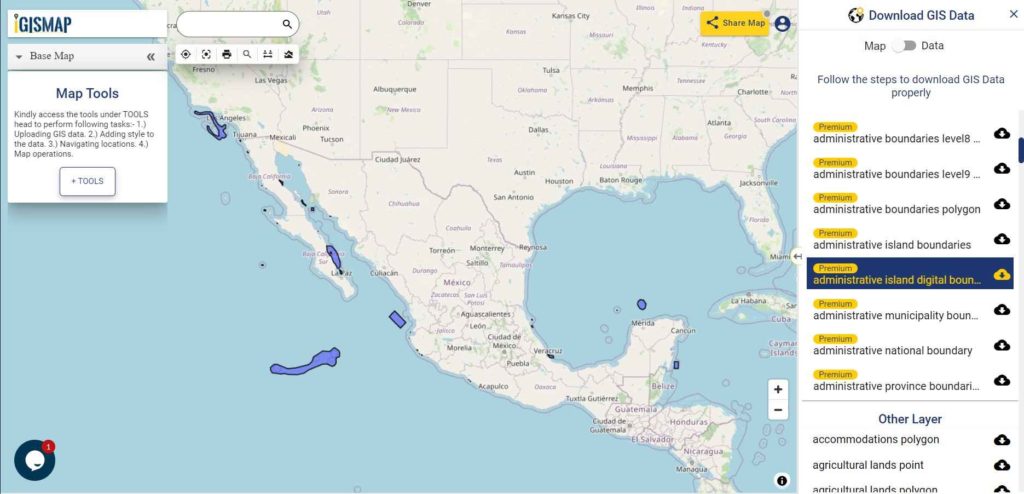
Download Mexico Island Territory Digital Boundaries Shapefile
Other GIS Data:
- Download Mexico State provinces territories and regions Boundaries Shapefile
- Download Mexico Highway Lines Shapefile
- Download Mexico Railway Lines Shapefile
- Download Mexico Airport Locations Shapefile
- Download Mexico Ferry Terminal Locations Shapefile
Please note that the Mexico data provided here is license under Open Data Commons Open Database License (ODbL). Please review the same before using it. If you want data under different license you can also look over to the post : Download Free Shapefile Maps – Country Boundary Polygon, Rail-Road, Water polyline etc
Download Free Shapefile for the following:
- World Countries Shapefile
- Australia
- Argentina
- Austria
- Belgium
- Brazil
- Canada
- Denmark
- Fiji
- Finland
- Germany
- Greece
- India
- Indonesia
- Ireland
- Italy
- Japan
- Kenya
- Lebanon
- Madagascar
- Malaysia
- Mexico
- Mongolia
- Netherlands
- New Zealand
- Nigeria
- Papua New Guinea
- Philippines
- Poland
- Russia
- Singapore
- South Africa
- South Korea
- Spain
- Switzerland
- Tunisia
- United Kingdom Shapefile
- United States of America
- Vietnam
- Croatia
- Chile
- Norway
Disclaimer : If you find any shapefile data of country provided is in correct do contact us or comment below, so that we will correct the same in our system.