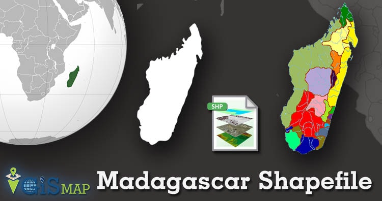
IGISMAP has now published the latest GIS vector data of Madagascar administrative levels. Links for downloading the shapefiles of the important administrative divisions of Madagascar are provided in the following. You can also download these data in KML, GeoJSON or CSV formats.
Note:
- All data available are in GCS datum EPSG:4326 WGS84 CRS (Coordinate Reference System).
- You need to login for downloading the shapefile.
Download Free Shapefile Data of Madagascar
The Republic of Madagascar (and previously known as the Malagasy Republic), is an island country in the Indian Ocean, approximately 400 kilometers (250 miles) off the coast of East Africa across the Mozambique Channel. At 592,800 square kilometers (228,900 sq mi) Madagascar is the world’s second-largest country that consists primarily of islands, after Indonesia. The nation consists of the island of Madagascar (the fourth-largest island in the world) and numerous smaller peripheral islands. Following the prehistoric breakup of the supercontinent Gondwana, Madagascar split from the Indian subcontinent around 88 million years ago, allowing native plants and animals to evolve in relative isolation. Consequently, Madagascar is a biodiversity hotspot; over 90% of its wildlife is endemic.
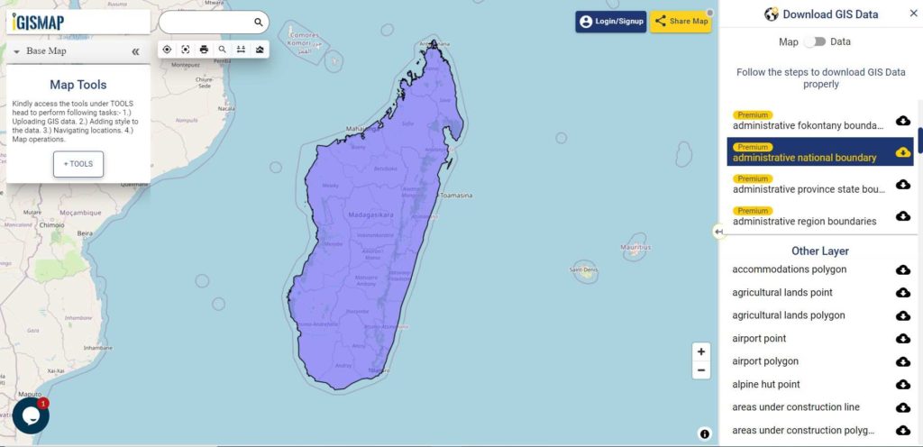
Download Madagascar National Outline Boundary Shapefile
Download Madagascar Provinces Shapefile Data
Madagascar polygon Shapefile consists of six provinces. Name of provinces are given below:
- Antananarivo Province
- Antananarivo Province
- Fianarantsoa Province
- Mahajanga Province
- Toamasina Province
- Toliara Province
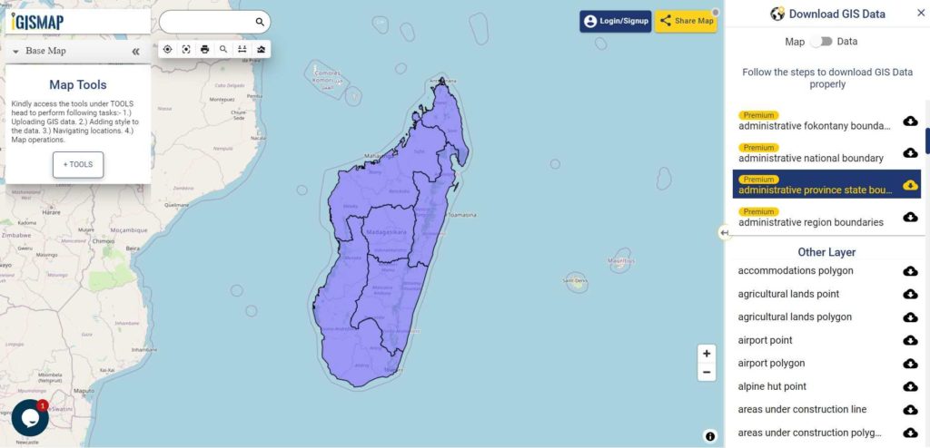
Download Madagascar Provinces Boundaries Shapefile
Download Madagascar Regions Shapefile Data
Madagascar is divided into six autonomous provinces (faritany mizakatena), which in turn are divided into 22 regions.
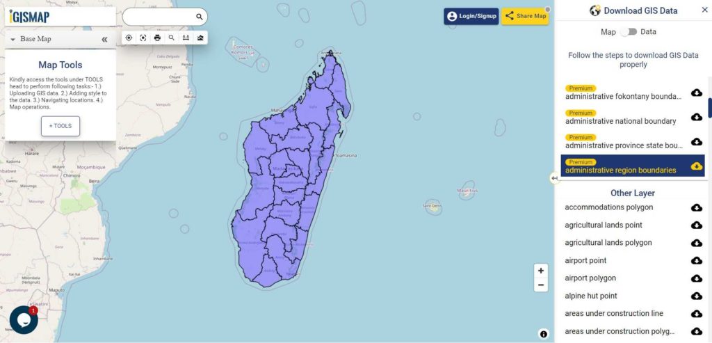
Download Madagascar Regions Boundaries Shapefile
Download Madagascar Districts Shapefile Data
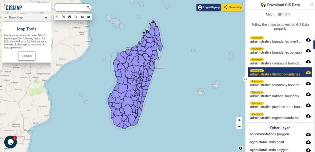
Download Madagascar District Boundaries Shapefile
Other GIS Data:
- Download Madagascar Commune Boundaries Shapefile
- Download Madagascar Fokontany Boundaries Shapefile
- Download Madagascar Highway Lines Shapefile
- Download Madagascar Railway Lines Shapefile
- Download Madagascar Airport Locations Shapefile
- Download Madagascar Ferry Terminal Locations Shapefile
Please note that the Madagascar data provided here is license under Open Data Commons Open Database License (ODbL). Please review the same before using it. If you want data under different license you can also look over to the post : Download Free Shapefile Maps – Country Boundary Polygon, Rail-Road, Water polyline etc
Download Free Shapefile for the following:
- World Countries Shapefile
- Australia
- Argentina
- Austria
- Belgium
- Brazil
- Canada
- Denmark
- Fiji
- Finland
- Germany
- Greece
- India
- Indonesia
- Ireland
- Italy
- Japan
- Kenya
- Lebanon
- Madagascar
- Malaysia
- Mexico
- Mongolia
- Netherlands
- New Zealand
- Nigeria
- Papua New Guinea
- Philippines
- Poland
- Russia
- Singapore
- South Africa
- South Korea
- Spain
- Switzerland
- Tunisia
- United Kingdom Shapefile
- United States of America
- Vietnam
- Croatia
- Chile
- Norway
Disclaimer : If you find any shapefile data of country provided is in correct do contact us or comment below, so that we will correct the same in our system.
One thought on “Download Madagascar Administrative Boundary Shapefiles – Province, Regions, Districts and more”