GIS Data and Maps of Louisiana State is used by planners and surveyors for visualizing and identifying the patterns that are difficult to examine when data is in table form. Here you can download the GIS data of the state boundary, county division, rail and highway maps in just a few clicks. You can use these data for analysis in MAPOG itself or download them in any suitable GIS format. You can download these data in KML, GeoJSON, CSV or Shapefile formats.
Note:
- All data available are in GCS datum EPSG:4326 WGS84 CRS (Coordinate Reference System).
- You need to login for downloading the shapefile.
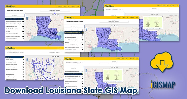
Download Shapefile Data of Louisiana State
Louisiana State is the Southeastern state of the United States. Baton Rouge is the capital city of the state.
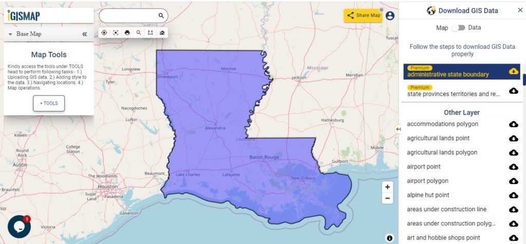
Download Louisiana State Outline Boundary Shapefile
In the above screen, the administrative boundary map is shown. Before download view the data table by switching button from Map to Data (shown on the above screen with arrow). Click on the button placed beside the layer name. A modal will appear, select the gis format i.e. Shapefile, Kml, CSV, GeoJSON, Mapinfo, PostgreSQL, etc. Further, if you want your GIS data in another GIS formats use Gis File Converter.
Download Louisiana Counties GIS Data
The U.S. state Louisiana is divided into 64 Parishes.
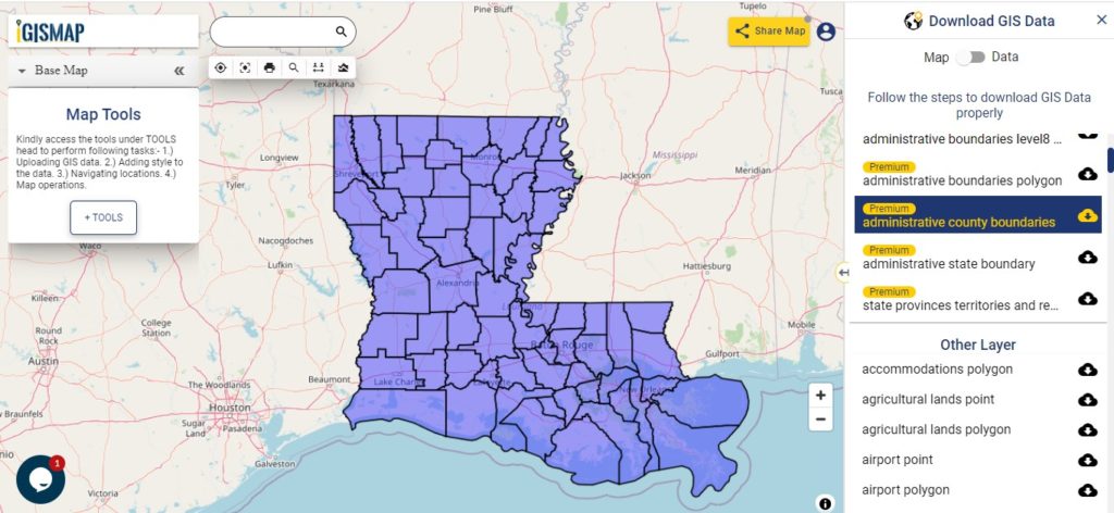
Download Louisiana County Boundary Shapefile
A state map with divisions is shown on the above screen. You can change color, add an attribute column, add a legend for a more understandable view use MAPOG Tool.
This GIS Map covers following parishes (Counties)-
- Acadia
- Allen
- Ascension
- Assumption
- Avoyelles
- Beauregard
- Bienville
- Bossier
- Caddo
- Calcasieu
- Caldwell
- Cameron
- Catahoula
- Claiborne
- Concordia
- De Soto
- East Baton Rouge
- Parish East Carroll
- East Feliciana
- Evangeline
- Franklin
- Grant
- Iberia
- Iberville
- Jackson
- Jefferson
- Jefferson Davis
- La Salle
- Lafayette
- Lafourche
- Lincoln
- Livingston
- Madison
- Morehouse
- Natchitoches
- Orleans
- Ouachita
- Plaquemines
- Pointe Coupee
- Rapides
- Red River
- Richland
- Sabine
- St. Bernard
- St. Charles
- St. Helena
- St. James
- St. John The Baptist
- St. Landry
- St. Martin
- St. Mary
- St. Tammany
- Tangipahoa
- Tensas
- Terrebonne
- Union
- Vermilion
- Vernon
- Washington
- Webster
- West Baton Rouge
- The West Carroll
- West Feliciana
- Winn
Highway Line GIS data of Louisiana
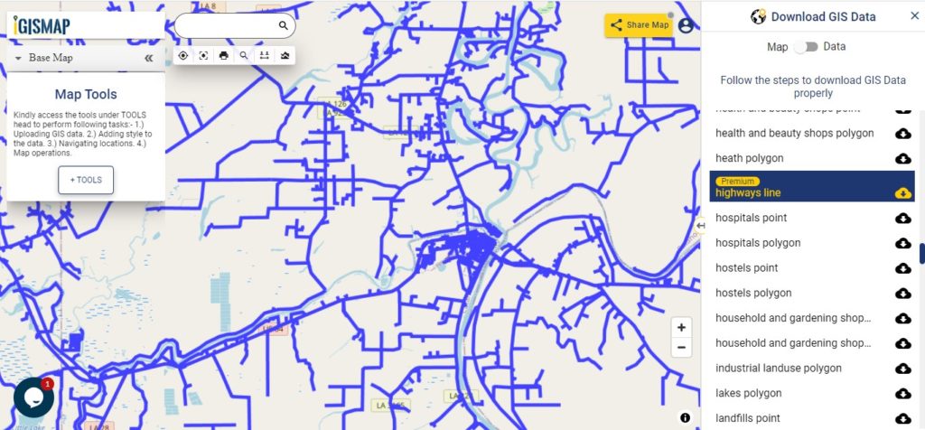
Download Louisiana Highway Line Shapefile
Zoom in view of highway line map is shown shown above. Similarly, you can easily download point based GIS data of airport point, ATM point, parking area, hospital location, etc.
Railways Line Map of Louisiana State
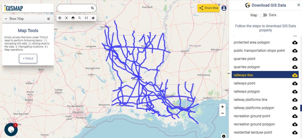
Download Louisiana Railway Line Shapefile
Railway line map of Louisiana state is shown in ab0ve screen. In addition, to railway line you are able to download residential land point, polygon, restaurant GIS location layer.
Download GIS Data of other states of USA:
- Alabama
- Alaska
- Arizona
- Arkansas
- California
- Colorado
- Connecticut
- Florida
- Georgia
- Hawaii
- Idaho
- Illinois
- Indiana
- Iowa
- Kansas
- Massachusetts
- Maryland
- Michigan
- Minnesota
- Mississipi
- Missouri
- Montana
- Nevada
- Nebraska
- Ohio
- Oklahoma
- Pennsylvania
- Utah
- Vermont
- Washington
- Wisconsin
- Wyoming
- Tennessee
- Texas
- Kentucky
- Louisiana
- Maine
- North Carolina
- Oregon
- Virginia
- West Virginia
Disclaimer : If you find any shapefile data of country provided is in correct do contact us or comment below, so that we will correct the same in our system.