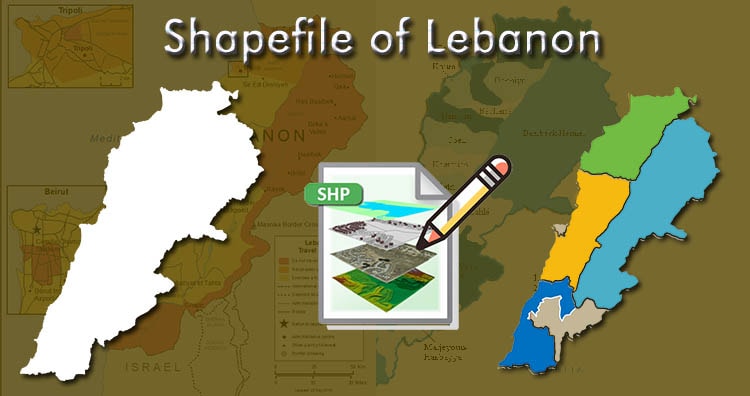
Hello GIS enthusiasts, IGISMAP has now published the latest GIS vector data of Lebanon administrative levels. Links for downloading the shapefiles of the important administrative divisions of Lebanon are provided in the following. You can also download these data in KML, GeoJSON or CSV formats.
Note:
- All data available are in GCS datum EPSG:4326 WGS84 CRS (Coordinate Reference System).
- You need to login for downloading the shapefile.
Download Free Shapefile Data of Lebanon
Lebanon, officially the Republic of Lebanon or the Lebanese Republic, is a country in Western Asia. It is located between Syria to the north and east and Israel to the south, while Cyprus lies to its west across the Mediterranean Sea; its location at the crossroads of the Mediterranean Basin and the Arabian hinterland has contributed to its rich history and shaped a cultural identity of religious diversity. It is part of the Levant region of the Middle East. Lebanon is home to roughly six million people and covers an area of 10,452 square kilometres (4,036 sq mi), making it one of the smallest countries in the world.
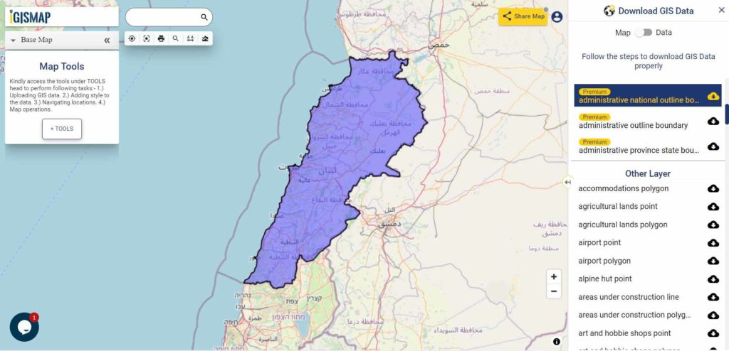
Download Lebanon National Outline Boundary Shapefile
Download Lebanon Governorates Shapefile Data
Lebanon is divided into 8 Governorates; Akkar, Baalbeck-Hermel, Beirut, Bekaa, Mount Lebanon, North Lebanon, Nabatiyeh, and South Lebanon. The Governorate (Muhafazah) is considered an administrative division of the country.
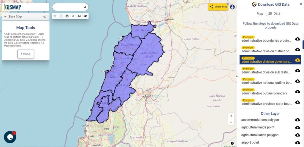
Download Lebanon Governorates Boundaries Shapefile
Download Lebanon Districts Shapefile Data
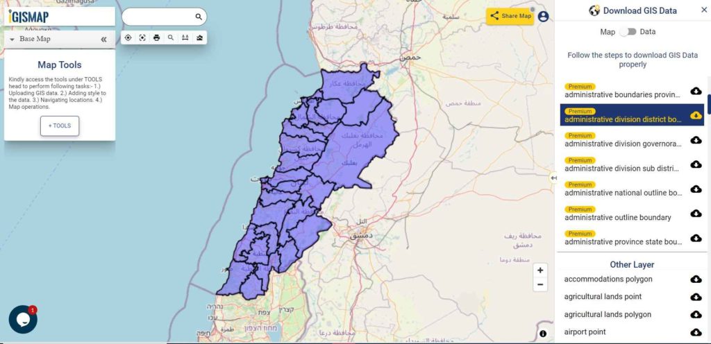
Download Lebanon District Boundaries Shapefile
Download Lebanon Sub Districts Shapefile Data
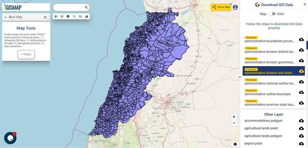
Download Lebanon Sub District Boundaries Shapefile
Please note that the Lebanon data provided here is license under Open Data Commons Open Database License (ODbL). Please review the same before using it. If you want data under different license you can also look over to the post : Download Free Shapefile Maps – Country Boundary Polygon, Rail-Road, Water polyline etc
Other GIS Data:
- Download Lebanon Highway Lines Shapefile
- Download Lebanon Railway Lines Shapefile
- Download Lebanon Airport Locations Shapefile
Download Free Shapefile for the following:
- World Countries Shapefile
- Australia
- Argentina
- Austria
- Belgium
- Brazil
- Canada
- Denmark
- Fiji
- Finland
- Germany
- Greece
- India
- Indonesia
- Ireland
- Italy
- Japan
- Kenya
- Lebanon
- Madagascar
- Malaysia
- Mexico
- Mongolia
- Netherlands
- New Zealand
- Nigeria
- Papua New Guinea
- Philippines
- Poland
- Russia
- Singapore
- South Africa
- South Korea
- Spain
- Switzerland
- Tunisia
- United Kingdom Shapefile
- United States of America
- Vietnam
- Croatia
- Chile
- Norway
Disclaimer : If you find any shapefile data of country provided is in correct do contact us or comment below, so that we will correct the same in our system.