
It’s fantastic to hear that MAPOG has expanded its GIS data collection to include data for more than 100 new countries, bringing the total coverage to over 150 countries. This is undoubtedly a valuable resource for GIS enthusiasts and professionals around the world. The availability of detailed information on administrative divisions, rivers, roads, and airports can greatly enhance various geospatial projects and analyses.
The option to access the data through tools like “Download GIS Data” and “Add GIS Data” seems convenient and user-friendly. Providing data in different formats such as Shapefile, KML, GeoJSON, and CSV ensures compatibility with a wide range of GIS software and applications, making it easier for users to integrate the data into their workflows.
This article will walk you through downloading administrative-level GIS data for El Salvador using the Download GIS Data tool. Experience a seamless geospatial journey with IGISMAP as your trusted partner!
Note:
- All data available are in GCS datum EPSG:4326 WGS84 CRS (Coordinate Reference System).
- You need to login for downloading the shapefile.
Download El Salvador Shapefile Data
El Salvador lies in the isthmus of Central America between latitudes 13° and 15°N, and longitudes 87° and 91°W. It stretches 270 km (168 mi) from west-northwest to east-southeast and 142 km (88 mi) north to south, with a total area of 21,041 km2 (8,124 sq mi).

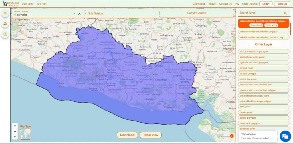
Download El Salvador National Boundary Shapefile
Download El Salvador Province Shapefile Data
El Salvador is divided into 14 Provinces (departments) :
- Ahuachapán
- Cabañas
- Chalatenango
- Cuscatlán
- La Libertad
- La Paz
- La Unión
- Morazán
- San Miguel
- San Salvador
- San Vicente
- Santa Ana
- Sonsonate
- Usulután
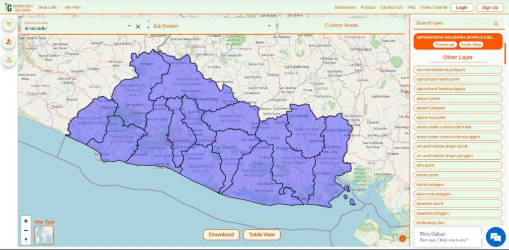
Download El Salvador Province Boundaries Shapefile
Other GIS Data:
- Download El Salvador Highway Lines Shapefile
- Download El Salvador Airport Locations Shapefile
- Download El Salvador Bank Points Locations Shapefile
Download Free Shapefile for the following:
- World Countries Shapefile
- Australia
- Argentina
- Austria
- Belgium
- Brazil
- Canada
- Denmark
- Fiji
- Finland
- Germany
- Greece
- India
- Indonesia
- Ireland
- Italy
- Japan
- Kenya
- Lebanon
- Madagascar
- Malaysia
- Mexico
- Mongolia
- Netherlands
- New Zealand
- Nigeria
- Papua New Guinea
- Philippines
- Poland
- Russia
- Singapore
- South Africa
- South Korea
- Spain
- Switzerland
- Tunisia
- United Kingdom Shapefile
- United States of America
- Vietnam
- Norway
- Chile
- Croatia
- Estonia
- Laos
- Hungary
- Libya
- Comoros
- Colombia
- Bhutan
- Maldives
- Iraq
- Azerbaijan
- Portugal
- Macedonia
- Armenia
- Jordan
- Luxembourg
- Slovakia
- Mauritania
- Cyprus
- Afghanistan
- El Salvador
- Guatemala
- Nauru
- Slovenia
- Marshall Islands
- Romania
- Peru
- Syria
Disclaimer : If you find any shapefile data of country provided is incorrect do contact us or comment below, so that we will correct the same in our system as well we will try to correct the same in OpenStreetMap.