Exciting news for Geographic Information Systems (GIS) enthusiasts! MAPOG has expanded its GIS data collection to now include Burkina Faso, among over 100 other countries. Delve into the comprehensive and up-to-date GIS data for Burkina Faso, covering a wide range of geographic and administrative features such as water bodies, road networks, airport locations, and more. This dataset encompasses diverse administrative boundaries, offering valuable insights for your mapping projects, whether at the national or local level. You have the flexibility to select from formats like ESRI Shapefile, KML, GeoJSON, and CSV for convenient downloads. Don’t miss out on this exceptional chance to enhance your mapping projects with the latest GIS data for Burkina Faso, complete with administrative boundaries. Enjoy your exploration and mapping!
With MAPOG’s versatile toolkit, you can effortlessly upload vector, add WMS (Web Map Service) layers, upload Excel or CSV data, incorporate existing files, perform polygon splitting and merging, generate new polygon and polyline data, use the converter for various formats, conduct buffer analysis, create grids, transform points into polygons, calculate isochrones, and utilize the geocoder for precise location information.
We provide an extensive variety of data formats, including KML, SHP, CSV, GeoJSON, Tab, SQL, Tiff, GML, KMZ, GPKZ, SQLITE, Dxf, MIF, TOPOJSON, XLSX, GPX, ODS, MID, and GPS. This ensures compatibility and accessibility for a wide range of applications and analyses.
Note:
- All data available are in GCS datum EPSG:4326 WGS84 CRS (Coordinate Reference System).
- You need to login for downloading the shapefile.
Download Shapefile Data of Burkina Faso
Burkina Faso, located in West Africa, is a landlocked nation spanning an area of 274,200 square kilometers (105,900 square miles). It shares borders with Mali to the northwest, Niger to the northeast, Benin to the southeast, and Togo, Ghana, and the Ivory Coast to the south and southwest respectively. With an approximate population of 20,321,378 as of 2021, Burkina Faso was previously named the Republic of Upper Volta from 1958 to 1984.
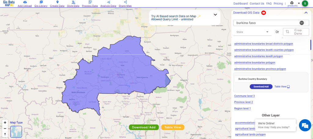
Download Burkina Faso National Boundary Shapefile
After successfully logging in with a legitimate email address, select the country you want to work with. Next, choose the specific layer you need and click on the download option. Once that’s done, pick the desired format to acquire the essential GIS data. Before proceeding with the data download, make sure to review the data table for any relevant information.
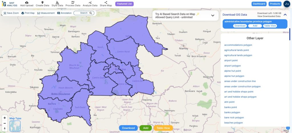
Download Burkina Faso Regions Shapefile Data
Burkina Faso is divided into several administrative regions, each with its own distinct characteristics and features. These regions play a significant role in the country’s governance and development. Here are the regions of Burkina Faso:
Download Burkina Faso Regions Shapefile
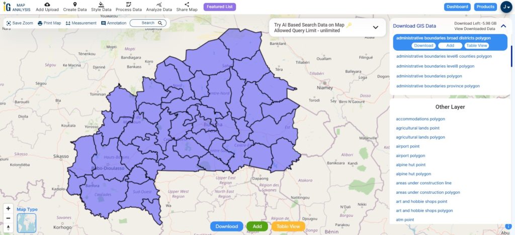
This shapefile covers following districts of Burkina Faso listed below:
- Boucle du Mouhoun
- Cascades
- Centre
- Centre-Est
- Centre-Nord
- Centre-Ouest
- Centre-Sud
- Est
- Hauts-Bassins
- Nord
- Plateau-Central
- Sahel
- Sud-Ouest
Download Burkina Faso Provinces Shapefile Data
Burkina Faso is further subdivided into provinces, which are the second-level administrative divisions within the country.
Download Burkina Faso Provinces Shapefile
Other Administrative Boundary Data:
Other GIS Data:
- Download Burkina Faso Road Lines Shapefile
- Download Burkina Faso Highway Lines Shapefile
- Download Burkina Faso Agricultural lands Shapefile
- Download Burkina Faso Railway Lines Shapefile
- Download Burkina Faso Airport Point Shapefile
- Download Burkina Faso River Line Shapefile
Above all links are provided for GIS data of Burkina Faso if you are looking for any specific data please write us on support@mapog.com
Download Shapefile for the following:
- World Countries Shapefile
- Australia
- Argentina
- Austria
- Belgium
- Brazil
- Canada
- Denmark
- Fiji
- Finland
- Germany
- Greece
- India
- Indonesia
- Ireland
- Italy
- Japan
- Kenya
- Lebanon
- Madagascar
- Malaysia
- Mexico
- Mongolia
- Netherlands
- New Zealand
- Nigeria
- Papua New Guinea
- Philippines
- Poland
- Russia
- Singapore
- South Africa
- South Korea
- Spain
- Switzerland
- Tunisia
- United Kingdom Shapefile
- United States of America
- Vietnam
- Croatia
- Chile
- Norway
- Maldives
- Bhutan
- Colombia
- Libya
- Hungary
- Comoros
- Laos
- Estonia
- Iraq
- Portugal
- Azerbaijan
- Macedonia
- Romania
- Peru
- Marshall Islands
- Slovenia
- Nauru
- Guatemala
- El Salvador
- Afghanistan
- Cyprus
- Syria
- Slovakia
- Luxembourg
- Jordan
- Armenia
- Haiti And Dominican Republic
Disclaimer : If you find any shapefile data of country provided is incorrect do contact us or comment below, so that we will correct the same in our system as well we will try to correct the same in openstreetmap.