
MAPOG is a useful tool that helps you find and download bridge data for various projects. This data can be beneficial for infrastructure planning, transportation studies, or environmental analysis. In this guide, we will walk you through the process of downloading bridge data in easy steps.
GIS data shows the locations of bridges on a map. With MAPOG, you can view where bridges are located and download this information in different formats. You can also narrow your search by region, which makes it easier to find and download specific bridge data for your analysis. MAPOG offers many file formats to suit different project needs.
Note:
- All data provided by MAPOG is in the GCS datum EPSG:4326 WGS84 CRS (Coordinate Reference System).
- To download data in shapefile format, you will need to log in to the platform.
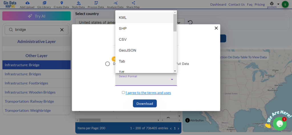
Bridge data is especially useful for engineers, planners, researchers, and government bodies. It helps with transportation planning, infrastructure development, and safety assessments. MAPOG’s GIS Data feature allows you to download bridge data in various file formats, including KML, SHP, CSV, GeoJSON, Tab, SQL, Tiff, GML, KMZ, GPKZ, SQLITE, DXF, MIF, TOPOJSON, XLSX, GPX, ODS, MID, and GPS.
Step-by-Step Guide to Download Bridge Data
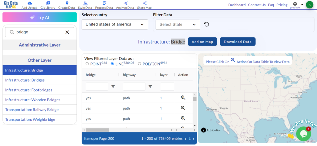
Step 1: Choose the Country
here, you have to select the country.

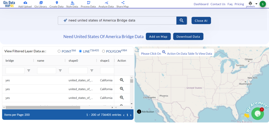
If you can’t find the data or country then use the ‘Try AI’ feature in MAPOG to quickly locate the information you need.
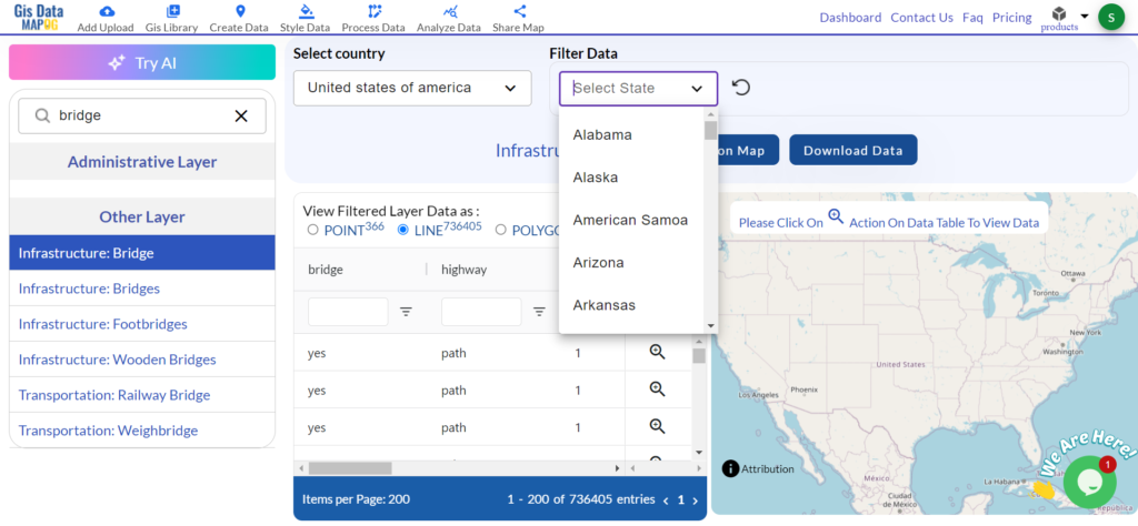
Step 2: Filter the Data
Use the filters to narrow your search. You can filter by specific regions or types of bridges. This will help you find the exact data you need for your project.
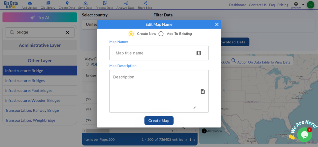
Step 3: Add to Map
Once you have selected the bridge data, add it to your map. This allows you to visualize the bridge locations on a map for better understanding.
Step 4: Download the Data
After reviewing the map, click the download button. You can choose from different file formats like CSV, SHP, GeoJSON, and many more based on what works best for your project.
More About Bridge Data
Bridge data can come in various forms. Point data shows the specific locations of bridges, while line data represents the structure of the bridge itself. Both types of data provide important insights into infrastructure planning and transportation networks.
With MAPOG’s versatile toolkit, you can effortlessly upload vector and upload Excel or CSV data, incorporate existing layers, perform polyline splitting, use the converter for various formats, calculate isochrones, and utilize the Export Tool.
For more information or assistance with downloading Bridge data, please contact us at support@mapog.com.
Disclaimer:
The GIS data provided for download in this article was initially sourced from OpenStreetMap (OSM) and further modified to enhance its usability. Please note that the original data is licensed under the Open Database License (ODbL) by the OpenStreetMap contributors. While modifications have been made to improve the data, any use, redistribution, or modification of this data must comply with the ODbL license terms. For more information on the ODbL, please visit OpenStreetMap’s License Page.