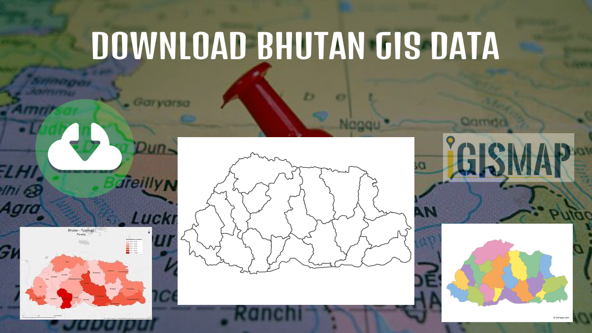
Have you been hunting GIS data too long and couldn’t find the right data or a proper data collection hub for fulfilling your requirements? Worry no more, IGISMAP GIS solutions offer a comprehensive collection of GIS data for over 150 countries, providing access to more than 150 datasets per country. Each dataset is carefully curated and accurately represents the administrative divisions of the respective countries. IGISMAP provides two essential tools for accessing this data: the Download GIS Data and Add GIS Data functionalities. Users can download the data in multiple formats, including ESRI Shapefile, KML, GeoJSON, or CSV, depending on their preferences and requirements. The platform ensures that users have a seamless experience in accessing valuable GIS data for their projects. Check the article – Add GIS data from IGISMap GIS data collection to understand more about Add GIS Data.
In this article, we will talk about IGISMAP GIS data of Bhutan and how it can be accessed from Download GIS Data tool. GIS data of almost all natural and man made geographic features are available for Bhutan. This article will give you an overview of all the administrative divisions GIS data available for Bhutan.
Note:
- All data available are in GCS datum EPSG:4326 WGS84 CRS (Coordinate Reference System).
- You need to login for downloading the shapefile.
Download Bhutan Districts Shapefile Data
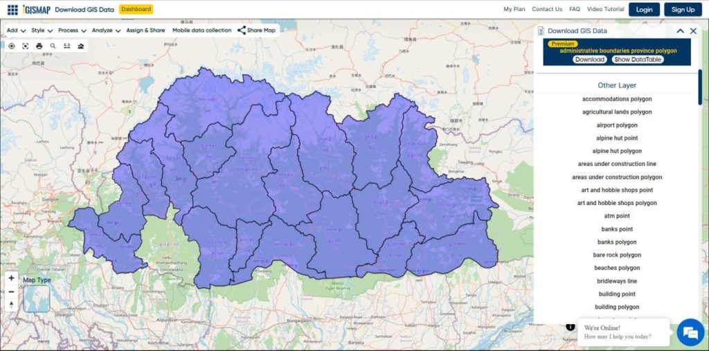
Download Bhutan Districts Boundaries Shapefile
Download Bhutan Villages Shapefile Data
In Bangladesh, a village is the smallest territorial and social unit for administrative and representative purposes. It is an elective unit of a Union Council from which a single council member is elected. Usually one village is designated as a ward and each union is made up of nine villages.
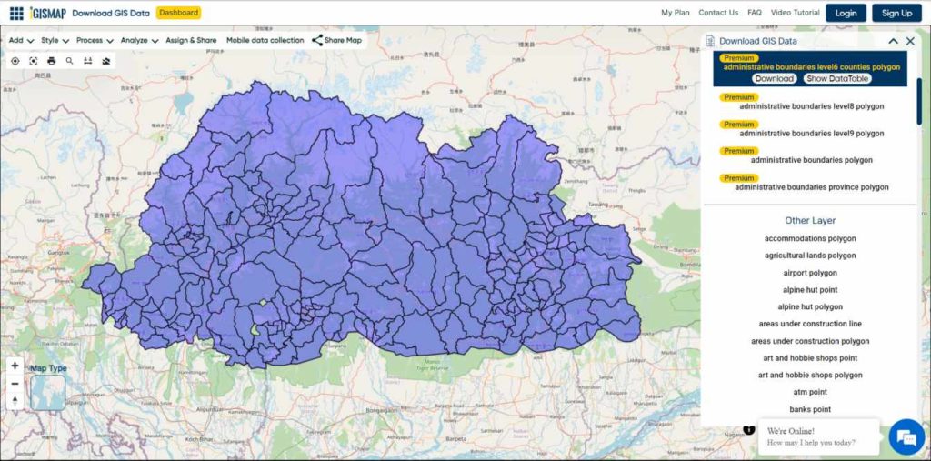
Download Bhutan Villages Boundary Shapefile
Other GIS Data:
- Download Bhutan Highway Lines Shapefile
- Download Bhutan Bank Locations Shapefile
- Download Bhutan Forest Polygons Shapefile
- Download Bhutan Tourism Locations Shapefile
“After downloading the data, you can easily convert it into any desired GIS format using our efficient MAPOG converter tool.”
Download Shapefile for the following:
- World Countries Shapefile
- Australia
- Argentina
- Austria
- Belgium
- Brazil
- Canada
- Denmark
- Fiji
- Finland
- Germany
- Greece
- India
- Indonesia
- Ireland
- Italy
- Japan
- Kenya
- Lebanon
- Madagascar
- Malaysia
- Mexico
- Mongolia
- Netherlands
- New Zealand
- Nigeria
- Papua New Guinea
- Philippines
- Poland
- Russia
- Singapore
- South Africa
- South Korea
- Spain
- Switzerland
- Tunisia
- United Kingdom Shapefile
- United States of America
- Vietnam
- Norway
- Chile
- Crotia
Disclaimer : If you find any shapefile data of country provided is incorrect do contact us or comment below, so that we will correct the same in our system as well we will try to correct the same in OpenStreetMap.