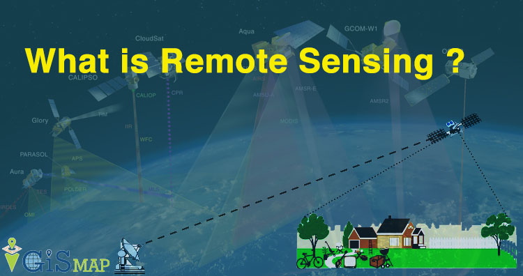
Hey GIS learner today we assimilate about what is Remote Sensing ? The word Remote means not exactly in contact or physical contact, something which is situated far away or distant, far away could be slightly far away or very far away and Sensing means getting information and data.
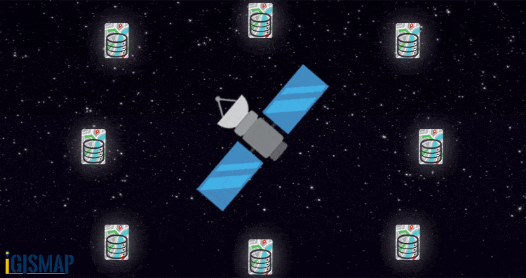 In the above gif you can see sensor senses the information from different sources.
Download free Satellite Images
What is Remote Sensing ?
Remote Sensing is any technique used to gather information about an object that doesn’t require touch or physical contact with the object.
Formal definition of Remote Sensing given by AAPR in 1988 is Remote Sensing is an art, science and technology of obtaining reliable information about physical objects and the environment through the process of recording, measuring and interpreting imagery and digital representation of energy patterns derived from non-contact sensor system. Science means how scientifically accurately we are measuring and acquiring information.
So when we plan development of any area we need to map or see the what is the area, where it is and how much it is for this we uses satellite data.
Humans are also naturally designed remote sensors with the aid of their eyes, ears and nose.
Process of Remote Sensing
Simply we can say anything which record or get information from any object without touching it physically like camera, x- ray machine etc termed as sensor. Suppose you are recording video from a camera (mobile camera or any professional camera) . Suddenly power fails and there is no light then in that situation camera is on (recording) but it couldn’t detect or record object. So with this one thing is clear that we need some light source or any illumination source for capturing information. Energy source is the first requirement for remote sensing. Conventionally Illumination would be only in the visible spectrum as our eyes perceive light. Remote sensing is also done in wavelength like in infra red or radar waves.

In the above gif you can see illumination source is natural i.e Sun emit radiation (light) on Earth surface. Some quantity of emitted light is absorbed by the surface of the Earth and remaining light is reflected through the surrounding of the surface. And that reflected radiation is sensed by the satellite orbit. This type of sensing is known as passive remote sensing. Types of remote sensing are given below.
Classification of Remote Sensing
There are two types of remote sensing technology first is active remote sensing and second is passive remote sensing.
ACTIVE REMOTE SENSORS
These type of Sensors doesn’t depends on Sun energy. Active sensors are used in active remote sensing which uses a platform, which allows sensors to direct energy at a object in the form of electromagnetic radiation for data collection. It measures the energy reflected from the object and gather the information about the object. Examples of such sensors are LIDAR which stands for Light Detection and Ranging which uses light in the form of pulses to measure ranges. In simple words it project laser light to measure the distance of targeted object.

Passive Remote Sensors
Passive sensors can only be used to detect energy when the naturally occurring energy is available. It detect natural radiation that is emitted or reflected by the object or surrounding area being observed. Reflected sunlight is the most common source of radiation measured by passive sensors. Film photography is one of the example of passive remote sensors.

Remote Sensing: Electromagnetic Spectrum
Energy source is the prime requirement of remote sensing that might be external or internal energy source. It illuminates the target unless the sensed energy emitted through the target
…………………….to be continued