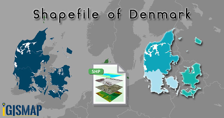
Hello GIS enthusiasts, IGISMAP has now published the latest GIS vector data of Denmark administrative levels. Links for downloading the shapefiles of the important administrative divisions of Denmark are provided in the following. You can also download these data in KML, GeoJSON or CSV formats.
Note:
- All data available are in GCS datum EPSG:4326 WGS84 CRS (Coordinate Reference System).
- You need to login for downloading the shapefile.
Download Free Shapefile Data of Denmark
Denmark is a Nordic country in Northern Europe. It is the most populous and politically central constituent of the Kingdom of Denmark, a constitutionally unitary state that includes the autonomous territories of the Faroe Islands and Greenland in the North Atlantic Ocean. European Denmark is the southernmost of the Scandinavian countries, lying southwest of Sweden, south of Norway, and north of Germany. Spanning a total area of 42,943 km2 (16,580 sq mi), it consists of the peninsula of Jutland and an archipelago of 443 named islands, of which the largest are Zealand, Funen and the North Jutlandic Island. Denmark’s geography is characterized by flat, arable land, sandy coasts, low elevation, and a temperate climate. As of 2022, it had a population of 5.88 million (1 March 2022), of which 800,000 live in the capital and largest city, Copenhagen.
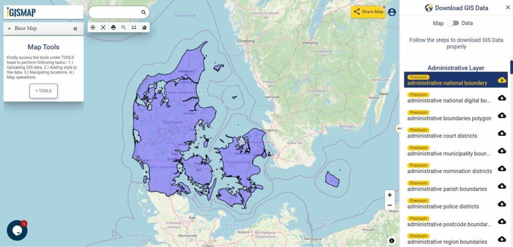
Download Denmark National Outline Boundary Shapefile
Download Denmark Regions Shapefile Data
Denmark is divided into 5 regions. The governing bodies of the regions are the regional councils, each with forty-one councillors elected for four-year terms.
Following are the list of regions:
- Hovedstaden – Capital Region of Denmark
- Midtjylland – Central Denmark Region
- Nordjylland – North Denmark Region
- Sjælland – Region Zealand
- Syddanmark – Region of Southern Denmark
Download Denmark Region Boundaries Shapefile
Download Denmark Municipalities Shapefile Data
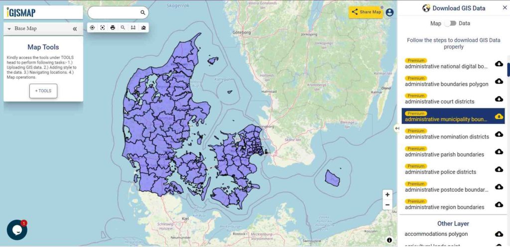
Download Denmark Municipality Boundaries Shapefile
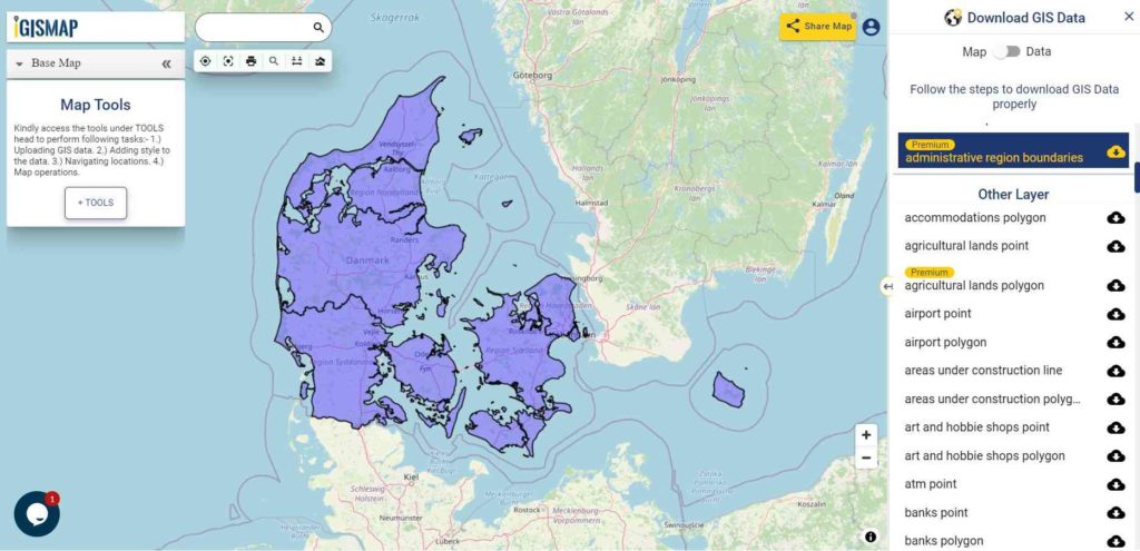
Download Denmark Postal Areas Shapefile Data
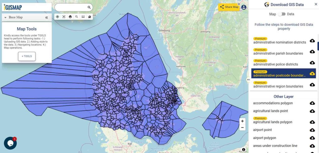
Download Denmark Postal Area Boundaries Shapefile
Other Administrative Boundary Data:
- Download Denmark Parish Boundaries Shapefile
- Download Denmark Police District Boundaries Shapefile
- Download Denmark Court District Boundaries Shapefile
- Download Denmark Constituency Boundaries Shapefile
Other GIS Data:
- Download Denmark Highway Lines Shapefile
- Download Denmark Railway Lines Shapefile
- Download Denmark Airport Point Shapefile
- Download Denmark Ferry Terminal Point Shapefile
Please note that the Papua New Guinea data provided here is license under Open Data Commons Open Database License (ODbL). Please review the same before using it. If you want data under different license you can also look over to the post : Download Free Shapefile Maps – Country Boundary Polygon, Rail-Road, Water polyline etc
Download Free Shapefile for the following:
- World Countries Shapefile
- Australia
- Argentina
- Austria
- Belgium
- Brazil
- Canada
- Denmark
- Fiji
- Finland
- Germany
- Greece
- India
- Indonesia
- Ireland
- Italy
- Japan
- Kenya
- Lebanon
- Madagascar
- Malaysia
- Mexico
- Mongolia
- Netherlands
- New Zealand
- Nigeria
- Papua New Guinea
- Philippines
- Poland
- Russia
- Singapore
- South Africa
- South Korea
- Spain
- Switzerland
- Tunisia
- United Kingdom Shapefile
- United States of America
- Vietnam
- Croatia
- Chile
- Norway
Disclaimer : If you find any shapefile data of country provided is in correct do contact us or comment below, so that we will correct the same in our system as well we will try to correct the same in openstreetmap.