 Geographic Information System is a system intends to capture, Store, manage, manipulate, analyze the data. GIS system integrate data and convert it into maps. And as we know visuals are more powerful than words so it makes our understanding of data fast.
What is GIS ?
GIS is a tool to acquire geographic data and produce Geographic information. And generally those information are stored in tabular form. GIS can be defined as a “computer information system that can input, store, manipulate, analyze, and display geographically referenced (spatial) data to support decision making processes”.
Simply GIS visualize your data as a map. And these visualization makes the study interesting with interactive maps. It saves the time and make the system decisiveness that is main requirement.
Check Interview questions on GIS
Nowadays GIS used in every field such as-
 Geographic Information System is a system intends to capture, Store, manage, manipulate, analyze the data.
  GIS
Merge more than two Shapefile in QGIS
Merge more than two Shapefile in QGIS. Do you want to merge two or more than two Shapefile? Do all the Shapefile are…
2 min read
→
GIS
Merge more than two Shapefile in QGIS
Merge more than two Shapefile in QGIS. Do you want to merge two or more than two Shapefile? Do all the Shapefile are…
2 min read
→
 GIS Operation
Pan-sharpening images using ArcGIS
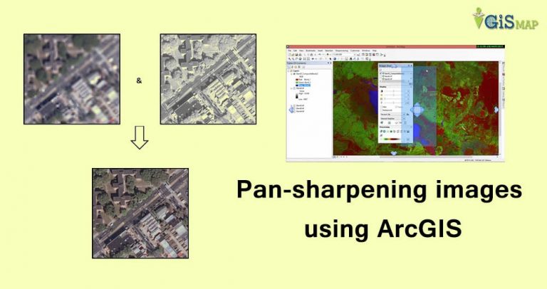
Pan-sharpening images using ArcGIS. Pansharpening is the process which makes use of panchromatic image and some bands of multispectral image to result…
2 min read
→
GIS Operation
Pan-sharpening images using ArcGIS
Pan-sharpening images using ArcGIS. Pansharpening is the process which makes use of panchromatic image and some bands of multispectral image to result…
2 min read
→
 GIS
c++ program to read shapefile header
c++ program to read shapefile header. Shapefile can be read if you know the format of Shapefile files i.e of .shp, .shx,…
5 min read
→
GIS
Get minimum Bounding box of shapefile c++ program
Get minimum Bounding box of shapefile c++ program. This program not only reads shapefile, but makes you aware to read other files, i.e…
3 min read
→
GIS
c++ program to read shapefile header
c++ program to read shapefile header. Shapefile can be read if you know the format of Shapefile files i.e of .shp, .shx,…
5 min read
→
GIS
Get minimum Bounding box of shapefile c++ program
Get minimum Bounding box of shapefile c++ program. This program not only reads shapefile, but makes you aware to read other files, i.e…
3 min read
→
 GIS
What is GIS | Geographic Information System
What is GIS | Geographic Information System? GIS is an Abbreviation of Geographical Information System or Geo-spatial Information Systems or Geologic Information Systems (also Geo-spatial database management). As the…
2 min read
→
ArcGIS
How to remove gaps from a polygon layer file in ArcGIS?
How to remove gaps from a polygon layer file in ArcGIS? While preparing polygon layer file following various stages of layer preparation…
3 min read
→
GIS
What is GIS | Geographic Information System
What is GIS | Geographic Information System? GIS is an Abbreviation of Geographical Information System or Geo-spatial Information Systems or Geologic Information Systems (also Geo-spatial database management). As the…
2 min read
→
ArcGIS
How to remove gaps from a polygon layer file in ArcGIS?
How to remove gaps from a polygon layer file in ArcGIS? While preparing polygon layer file following various stages of layer preparation…
3 min read
→