Category

Category: GIS

Geographic Information System is a system intends to capture, Store, manage, manipulate, analyze the data. GIS system integrate data and convert it into maps. And as we know visuals are more powerful than words so it makes our understanding of data fast.

What is GIS ?

GIS is a tool to acquire geographic data and produce Geographic information. And generally those information are stored in tabular form. GIS can be defined as a “computer information system that can input, store, manipulate, analyze, and display geographically referenced (spatial) data to support decision making processes”.

Simply GIS visualize your data as a map. And these visualization makes the study interesting with interactive maps. It saves the time and make the system decisiveness that is main requirement.

Check Interview questions on GIS

Nowadays GIS used in every field such as-

646 posts

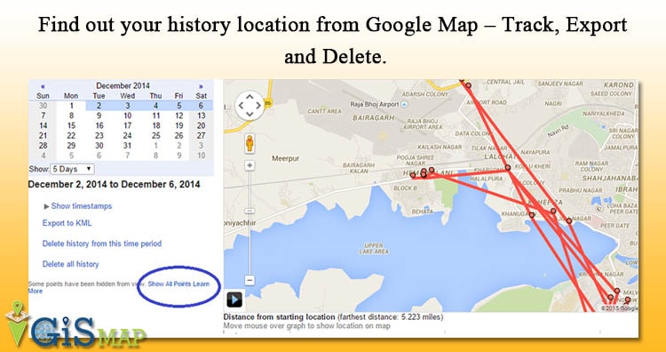
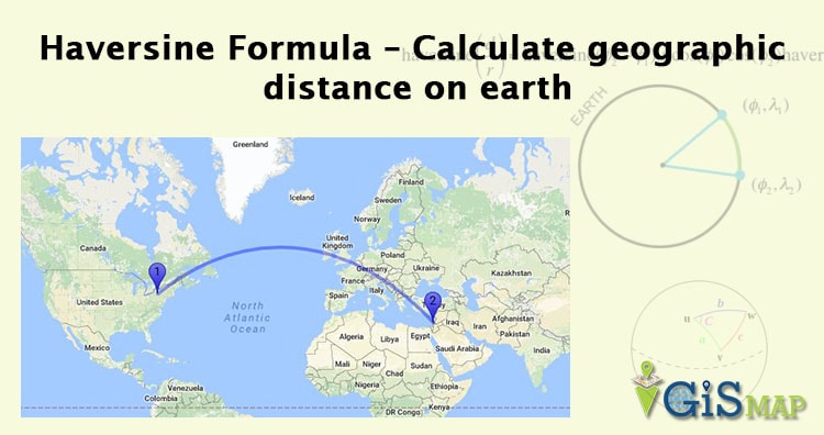
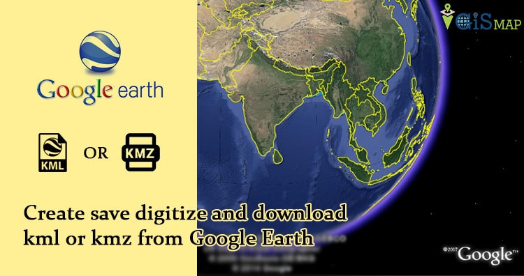
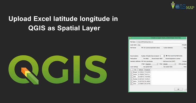
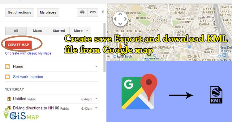
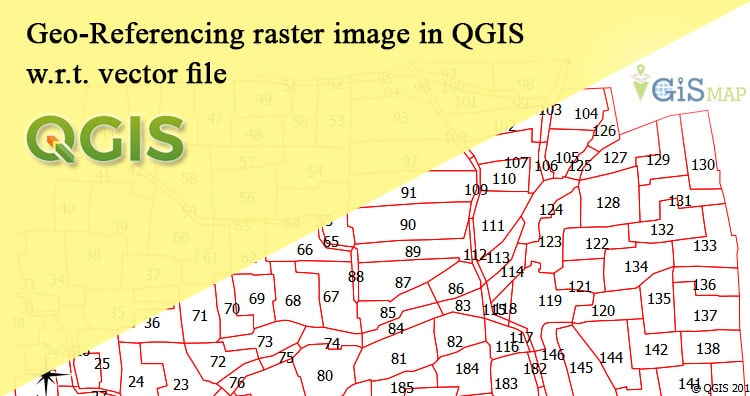
history location from Google Map GIS Find out your history location from Google Map – Track, Export and Delete. Google Map tracks your history location and allows you to manage, Delete and view your old location. Where you were, last week… 4 min read → GIS Haversine Formula – Calculate geographic distance on earth Haversine Formula – Calculate geographic distance on earth. If you have two different latitude – longitude values of two different point on… 2 min read → GIS Measure Straight line distance in Google Map Measure Straight line distance in Google Map between two points. Straight line distance can be calculated with Haversine distance formula or Great… 2 min read → GIS Create save digitize and download kml or kmz from Google Earth Create save digitize and download kml or kmz from Google Earth. Google earth can be named a virtual globe or map of… 3 min read → GIS Upload Excel latitude longitude in QGIS as Spatial Layer Upload Excel latitude longitude in QGIS as Spatial Layer and save as Shapefile.  When you have collection of point data i.e latitude and… 2 min read → GIS Create save Export and download KML file from Google map Create save Export and download KML file from Google map.  Google map or Google Earth makes use of KML or keyhole markup… 3 min read → GIS Upload or Import KML file on Google map Upload or import KML file on Google map. KML or Keyhole Markup Language is file which models and stores geographic features for display in Google Earth or… 2 min read → GIS Geo-Referencing raster image in QGIS w.r.t. vector file Geo-Referencing raster image in QGIS with respect to vector file. Geo referencing is the process used to provide geographical information to the raster… 2 min read → GIS Connect QGIS to oracle spatial – Quantum GIS How to connect QGIS to oracle spatial. QGIS can now connects to oracle to view spatial data and process it, great news… 2 min read → GIS Download and Install quantum GIS – QGIS with oracle connectivity Download and Install quantum GIS – QGIS with oracle connectivity. Quantum GIS is an open source cross platform software for developing GIS… 3 min read →
Exit mobile version