Download Tonga Administrative Boundary GIS Data – National , Provinces and Districts and more

download-tonga-administrative-boundary-gis-data-national-provinces-and-districts-and-more

It’s fantastic to hear that MAPOG has expanded its GIS data collection to include data for more than 100 new countries, bringing the total coverage to over 150 countries. This is undoubtedly a valuable resource for GIS enthusiasts and professionals around the world. The availability of detailed information on administrative divisions, rivers, roads, and airports can greatly enhance various geospatial projects and analyses.

The option to access the data through tools like “Download GIS Data” and “Add GIS Data” seems convenient and user-friendly. Providing data in different formats such as Shapefile, KML, GeoJSON, and CSV ensures compatibility with a wide range of GIS software and applications, making it easier for users to integrate the data into their workflows.

This article will walk you through downloading administrative-level GIS data for Tonga using the Download GIS Data tool. Experience a seamless geospatial journey with MAPOG as your trusted partner!

Note:

  • All data available are in GCS datum EPSG:4326 WGS84 CRS (Coordinate Reference System).
  • You need to login for downloading the shapefile.

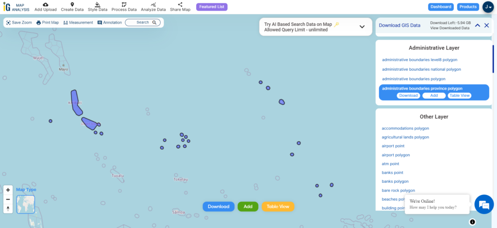
Download Shapefile Data of Tonga

Tonga is an archipelago located in Oceania, situated in the South Pacific Ocean. These islands are categorized into three main groups: Vava’u, Ha’apai, and Tongatapu. They span an 800-kilometre (500-mile)-long north-south line.

Tonga experiences a tropical rainforest climate (Af). It has a distinct warm period from December to April, during which temperatures exceed 32°C (89.6°F). The cooler period lasts from May to November, with temperatures rarely surpassing 27°C (80.6°F). The temperature and rainfall vary across the islands, ranging from 23°C (73.4°F) and 1,700 mm (66.9 in) on Tongatapu in the south to 27°C (80.6°F) and 2,970 mm (116.9 in) on the more northerly islands closer to the Equator.

Tonga National Boundary

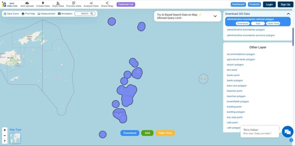
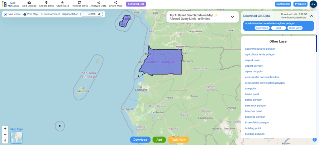
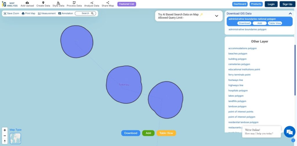
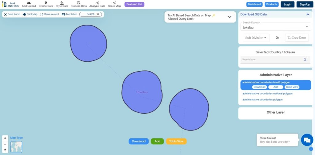
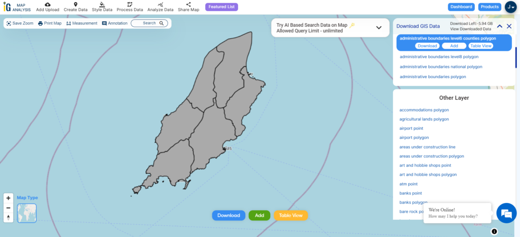
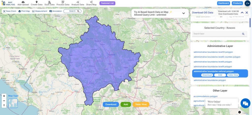
Download Tonga National Boundary Shapefile

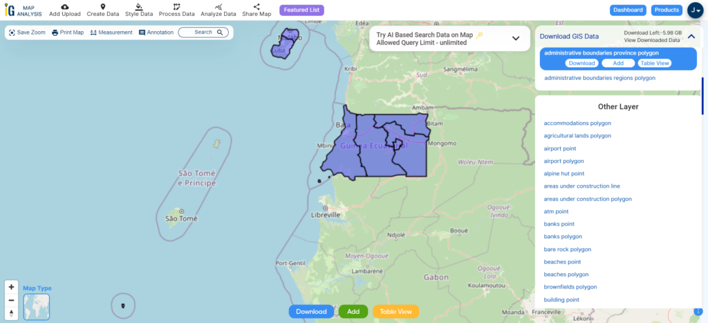
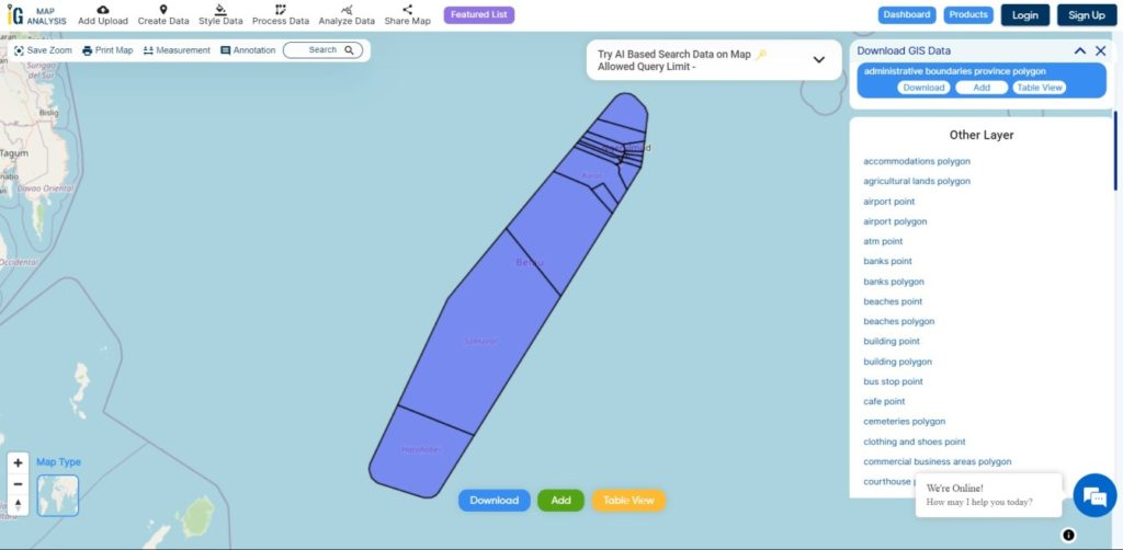
Download Tonga Provinces Shapefile Data

Tonga is divided into five provinces.

  • Eua
  • Haʻapai
  • Niuas
  • Tongatapu
  • Vavaʻu.
Tonga Provinces Boundaries

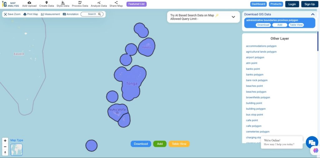
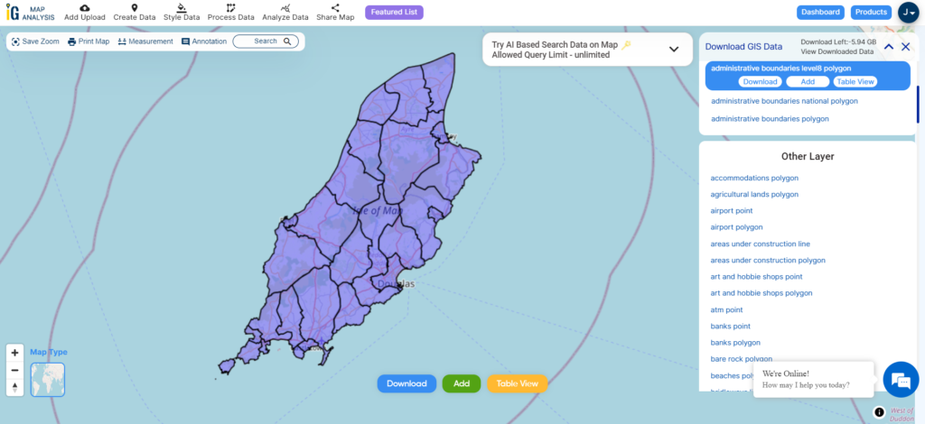
Download Tonga Provinces Boundaries Shapefile

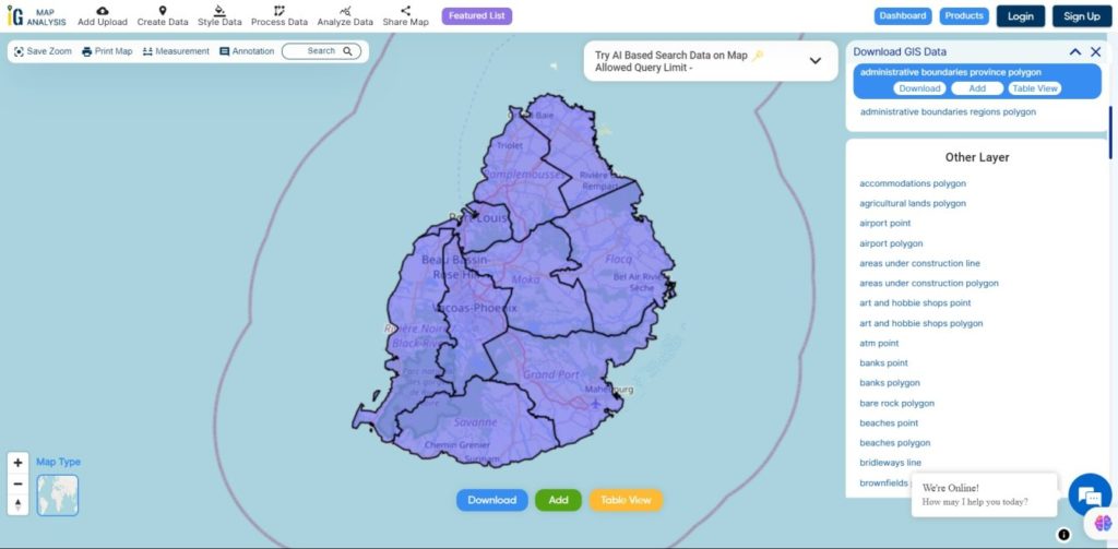
Download Tonga Districts Shapefile Data

Tonga is divided into 23 Districts.

  • Kolofo’ou
  • Kolomotu’a
  • Vaini
  • Tatakamotonga
  • Lapaha
  • Nukunuku
  • Kolovai
  • Neiafu
  • Pangaimotu
  • Hahake
  • Leimatu’a
  • Hihifo
  • Motu
  • Lifuka
  • Foa
  • Lulunga
  • Mu’omu’a
  • Ha’ano
  • ‘Uiha
  • ‘Eua Motu’a
  • ‘Eua Fo’ou
  • Niua Toputapu
  • Niua Fo’ou
Tonga Districts Boundaries

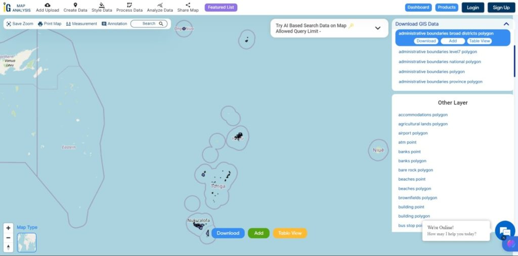
Download Tonga Districts Boundaries Shapefile

Other GIS Data:

Download Shapefile for the following:

  1. World Countries Shapefile
  2. Australia
  3. Argentina
  4. Austria
  5. Belgium
  6. Brazil
  7. Canada
  8. Denmark
  9. Fiji
  10. Finland
  11. Germany
  12. Greece
  13. India
  14. Indonesia
  15. Ireland
  16. Italy
  17. Japan
  18. Kenya
  19. Lebanon
  20. Madagascar
  21. Malaysia
  22. Mexico
  23. Mongolia
  24. Netherlands
  25. New Zealand
  26. Nigeria
  27. Papua New Guinea
  28. Philippines
  29. Poland
  30. Russia
  31. Singapore
  32. South Africa
  33. South Korea
  34. Spain
  35. Switzerland
  36. Tunisia
  37. United Kingdom Shapefile
  38. United States of America
  39. Vietnam
  40. Norway
  41. Chile
  42. Croatia
  43. Estonia
  44. Laos
  45. Hungary
  46. Libya
  47. Comoros
  48. Colombia
  49. Bhutan
  50. Maldives
  51. Iraq
  52. Azerbaijan
  53. Portugal

Disclaimer : If you find any shapefile data of country provided is incorrect do contact us or comment below, so that we will correct the same in our system as well we will try to correct the same in OpenStreetMap.

Download Equatorial Guinea Administrative Boundary GIS Data for – National, Regions, Provinces and more

Step into the world of mapping possibilities! IGISMAP offers an exclusive chance: download Equatorial Guinea’s administrative boundary GIS data, covering national, regions, provinces, and more.

Explore the geographical data of Equatorial Guinea effortlessly with MAPOG. Uncover a diverse array of datasets, including information about administrative boundaries, rivers, roads, and airports. Accessing this valuable information is straightforward through the Download GIS Data and Add GIS Data tools. The Download GIS Data tool allows you to select various formats like Shapefile, KML, GeoJSON, and CSV for your convenience. For an in-depth guide on utilizing the Add GIS Data tool effectively, refer to “Optimizing GIS Data Collection for Equatorial Guinea with MAPOG.” This guide will walk you through the process of obtaining administrative GIS data using the Download GIS Data tool. Explore Equatorial Guinea’s geography confidently with MAPOG as your reliable resource.

With MAPOG’s versatile toolkit, you can effortlessly upload vector and raster filesadd WMS (Web Map Service) layers, upload Excel or CSV data, incorporate existing files, perform polygon splitting and merging, generate new polygon and polyline data, use the converter for various formats, conduct buffer analysiscreate gridstransform points into polygons, calculate isochrones, and utilize the geocoder for precise location information.

We offer an extensive array of data formats, including KML, SHP, CSV, GeoJSON, Tab, SQL, Tiff, GML, KMZ, GPKZ, SQLITE, Dxf, MIF, TOPOJSON, XLSX, GPX, ODS, MID, and GPS, ensuring compatibility and accessibility for various applications and analyses.

Note:

  • All data available are in GCS datum EPSG:4326 WGS84 CRS (Coordinate Reference System).
  • You need to login for downloading the shapefile.

Download Shapefile Data of Equatorial Guinea

Equatorial Guinea, is officially referred to as the Republic of Equatorial Guinea. This Central African country is situated on the west coast of the continent and covers an area of approximately 28,000 square kilometers (11,000 square miles). It was previously known as Spanish Guinea during its colonial period, and its name reflects its proximity to the Equator and its location in the Guinea region of Africa.

Equatorial Guinea National boundary

Download Equatorial Guinea National Boundary Shapefile

After successfully logging in with a legitimate email address, select the country you want to work with. Next, choose the specific layer you need and click on the download option. Once that’s done, pick the desired format to acquire the essential GIS data. Before proceeding with the data download, make sure to review the data table for any relevant information.

Download Equatorial Guinea Regions Shapefile Data

Equatorial Guinea is divided into two regions and one autonomous city. Here are the regions and the autonomous city:

  1. Continental Region (Región Continental):
    • This region is located on the mainland part of Equatorial Guinea, known as Río Muni or Continental Equatorial Guinea.
  2. Insular Region (Región Insular):
    • The Insular Region includes several islands, with Bioko Island being the most significant. The capital city, Malabo, is situated on Bioko Island. This region also encompasses Annobón Island and several smaller islets.
  3. Autonomous City of Malabo (Ciudad Autónoma de Malabo):
    • Malabo, the capital of Equatorial Guinea, is an autonomous city located on Bioko Island within the Insular Region. It serves as both the political and economic center of the country.
Equatorial Guinea Regions Boundaries

Download Equatorial Guinea Regions Shapefile

Download Equatorial Guinea Provinces Shapefile Data

Equatorial Guinea is divided into two regions and eight provinces:

  • Annobón Province (capital: San Antonio de Palé)
  • Bioko Norte Province (capital: Malabo)
  • Bioko Sur Province (capital: Luba)
  • Centro Sur Province (capital: Evinayong)
  • Djibloho Province (capital: Ciudad de la Paz)
  • Kié-Ntem Province (capital: Ebebiyín)
  • Litoral Province (capital: Bata)
  • Wele-Nzas Province (capital: Mongomo)
Equatorial Guinea Provinces Boundaries

Download Equatorial Guinea Regions Shapefile

Other Administrative Boundary Data:

Above all links are provided for GIS data of Equatorial Guinea if you are looking for any specific data please write us on support@mapog.com

Download Shapefile for the following:

  1. World Countries Shapefile
  2. Australia
  3. Argentina
  4. Austria
  5. Belgium
  6. Brazil
  7. Canada
  8. Denmark
  9. Fiji
  10. Finland
  11. Germany
  12. Greece
  13. India
  14. Indonesia
  15. Ireland
  16. Italy
  17. Japan
  18. Kenya
  19. Lebanon
  20. Madagascar
  21. Malaysia
  22. Mexico
  23. Mongolia
  24. Netherlands
  25. New Zealand
  26. Nigeria
  27. Papua New Guinea
  28. Philippines
  29. Poland
  30. Russia
  31. Singapore
  32. South Africa
  33. South Korea
  34. Spain
  35. Switzerland
  36. Tunisia
  37. United Kingdom Shapefile
  38. United States of America
  39. Vietnam
  40. Croatia
  41. Chile
  42. Norway
  43. Maldives
  44. Bhutan
  45. Colombia
  46. Libya
  47. Comoros
  48. Hungary
  49. Laos
  50. Estonia
  51. Iraq
  52. Portugal
  53. Azerbaijan
  54. Macedonia
  55. Romania
  56. Peru
  57. Marshall Islands
  58. Slovenia
  59. Nauru
  60. Guatemala
  61. El Salvador
  62. Afghanistan
  63. Cyprus
  64. Syria
  65. Slovakia
  66. Luxembourg
  67. Jordan
  68. Armenia
  69. Haiti And Dominican Republic

Disclaimer : If you find any shapefile data of country provided is incorrect do contact us or comment below, so that we will correct the same in our system as well we will try to correct the same in openstreetmap.

Download Mauritius Administrative Boundary Shapefiles – National , Districts, Villages and More

download-mauritius-administrative-boundary-shapefiles-national-districts-villages-and-more

It’s fantastic to hear that MAPOG has expanded its GIS data collection to include data for more than 100 new countries, bringing the total coverage to over 150 countries. This is undoubtedly a valuable resource for GIS enthusiasts and professionals around the world. The availability of detailed information on administrative divisions, rivers, roads, and airports can greatly enhance various geospatial projects and analyses.

The option to access the data through tools like “Download GIS Data” and “Add GIS Data” seems convenient and user-friendly. Providing data in different formats such as Shapefile, KML, GeoJSON, and CSV ensures compatibility with a wide range of GIS software and applications, making it easier for users to integrate the data into their workflows.

This article will walk you through downloading administrative-level GIS data for Mauritius using the Download GIS Data tool. Experience a seamless geospatial journey with MAPOG as your trusted partner!

Note:

  • All data available are in GCS datum EPSG:4326 WGS84 CRS (Coordinate Reference System).
  • You need to login for downloading the shapefile.

Download Shapefile Data of Mauritius

Mauritius lies 2,000 km (1,200 mi) off the southeast coast of Africa, between latitudes 19°58.8’S and 20°31.7’S and longitudes 57°18.0’E and 57°46.5’E.

Mauritius National Boundary

Download Mauritius National Boundary Shapefile

Download Mauritius Districts Shapefile Data

Mauritius is divided into 9 Districts

  • Flacq
  • Grand Port
  • Moka
  • Pamplemousses
  • Plaines Wilhems
  • Port Louis
  • Riviere du Rempart
  • Riviere Noire
  • Savanne
Mauritius Districts Boundaries

Download Mauritius Districts Boundaries Shapefile

Download Mauritius Village Shapefile Data

Mauritius is divided into 88 Villages

Mauritius Villages Boundaries

Download Mauritius Villages Boundaries Shapefile

Other GIS Data:

Download Free Shapefile for the following:

  1. World Countries Shapefile
  2. Australia
  3. Argentina
  4. Austria
  5. Belgium
  6. Brazil
  7. Canada
  8. Denmark
  9. Fiji
  10. Finland
  11. Germany
  12. Greece
  13. India
  14. Indonesia
  15. Ireland
  16. Italy
  17. Japan
  18. Kenya
  19. Lebanon
  20. Madagascar
  21. Malaysia
  22. Mexico
  23. Mongolia
  24. Netherlands
  25. New Zealand
  26. Nigeria
  27. Papua New Guinea
  28. Philippines
  29. Poland
  30. Russia
  31. Singapore
  32. South Africa
  33. South Korea
  34. Spain
  35. Switzerland
  36. Tunisia
  37. United Kingdom Shapefile
  38. United States of America
  39. Vietnam
  40. Norway
  41. Chile
  42. Croatia
  43. Estonia
  44. Laos
  45. Hungary
  46. Libya
  47. Comoros
  48. Colombia
  49. Bhutan
  50. Maldives
  51. Iraq
  52. Azerbaijan
  53. Portugal

Disclaimer : If you find any shapefile data of country provided is incorrect do contact us or comment below, so that we will correct the same in our system as well we will try to correct the same in OpenStreetMap.

Download Ile De Clipperton Administrative Boundary GIS Data for – National, Atolls and more

Uncover the mysteries of Ile de Clipperton with IGISMAP! Now available for download is the administrative boundary GIS data, including national boundaries, atolls, and more. Dive into these comprehensive datasets to enrich your exploration and mapping endeavors. Don’t miss out on this unique opportunity to access valuable geospatial information for Ile de Clipperton!

Embark on a smooth exploration of the geography around Clipperton Island using MAPOG. Navigate through a wide range of datasets, including important features like boundaries, rivers, highways, and airports for this isolated Pacific atoll. MAPOG offers a user-friendly platform with handy tools like Download GIS Data, letting you choose from various formats such as Shapefile, KML, GeoJSON, and CSV for your immersive journey. Delve into the GIS Data of Clipperton Island with confidence, gaining a wealth of geographic insights through MAPOG’s intuitive interface.

With MAPOG’s versatile toolkit, you can effortlessly upload vector and raster filesadd WMS (Web Map Service) layers, upload Excel or CSV data, incorporate existing files, perform polygon splitting and merging, generate new polygon and polyline data, use the converter for various formats, conduct buffer analysiscreate gridstransform points into polygons, calculate isochrones, and utilize the geocoder for precise location information.

We offer an extensive array of data formats, including KML, SHP, CSV, GeoJSON, Tab, SQL, Tiff, GML, KMZ, GPKZ, SQLITE, Dxf, MIF, TOPOJSON, XLSX, GPX, ODS, MID, and GPS, ensuring compatibility and accessibility for various applications and analyses.

Note:

  • All data available are in GCS datum EPSG:4326 WGS84 CRS (Coordinate Reference System).
  • You need to login for downloading the shapefile.

Download Ile De Clipperton Shapefile Data

Clipperton Island is a small coral atoll located in the Pacific Ocean, approximately 1,120 kilometers southwest of the tip of Baja California in Mexico. It is administratively linked to France.

Ile De Clipperton National Boundary

Download Ile De Clipperton National Shapefile

After successfully logging in with a legitimate email address, select the country you want to work with. Next, choose the specific layer you need and click on the download option. Once that’s done, pick the desired format to acquire the essential GIS data. Before proceeding with the data download, make sure to review the data table for any relevant information.

Download Ile De Clipperton Atoll Shapefile Data

The atoll of Clipperton is a remote, uninhabited coral atoll located in the eastern Pacific Ocean, about 1,150 kilometers southwest of Mexico. It is the only French territory in the North Pacific.

The atoll is about 12 kilometers in circumference and has a total area of 8.9 square kilometers. It is surrounded by a shallow lagoon that is home to a variety of marine life, including seabirds, fish, and shellfish.

Ile De Clipperton Atoll Boundary

Download Ile De Clipperton Atoll Shapefile

Other GIS Data:

Above all links are provided for GIS data of Ile De Clipperton if you are looking for any specific data please write us on support@igismap.com

Download Shapefile for the following:

  1. World Countries Shapefile
  2. Australia
  3. Argentina
  4. Austria
  5. Belgium
  6. Brazil
  7. Canada
  8. Denmark
  9. Fiji
  10. Finland
  11. Germany
  12. Greece
  13. India
  14. Indonesia
  15. Ireland
  16. Italy
  17. Japan
  18. Kenya
  19. Lebanon
  20. Madagascar
  21. Malaysia
  22. Mexico
  23. Mongolia
  24. Netherlands
  25. New Zealand
  26. Nigeria
  27. Papua New Guinea
  28. Philippines
  29. Poland
  30. Russia
  31. Singapore
  32. South Africa
  33. South Korea
  34. Spain
  35. Switzerland
  36. Tunisia
  37. United Kingdom Shapefile
  38. United States of America
  39. Vietnam
  40. Croatia
  41. Chile
  42. Norway
  43. Maldives
  44. Bhutan
  45. Colombia
  46. Libya
  47. Comoros
  48. Hungary
  49. Laos
  50. Estonia
  51. Iraq
  52. Portugal
  53. Azerbaijan
  54. Macedonia
  55. Romania
  56. Peru
  57. Marshall Islands
  58. Slovenia
  59. Nauru
  60. Guatemala
  61. El Salvador
  62. Afghanistan
  63. Cyprus
  64. Syria
  65. Slovakia
  66. Luxembourg
  67. Jordan
  68. Armenia
  69. Haiti And Dominican Republic

Disclaimer : If you find any shapefile data of country provided is incorrect do contact us or comment below, so that we will correct the same in our system as well we will try to correct the same in openstreetmap.

Download Palau Administrative Boundary GIS Data – National , Regions and more

download-palau-administrative-boundary-gis-data-national-regions-and-more

It’s fantastic to hear that MAPOG has expanded its GIS data collection to include data for more than 100 new countries, bringing the total coverage to over 150 countries. This is undoubtedly a valuable resource for GIS enthusiasts and professionals around the world. The availability of detailed information on administrative divisions, rivers, roads, and airports can greatly enhance various geospatial projects and analyses.

The option to access the data through tools like “Download GIS Data” and “Add GIS Data” seems convenient and user-friendly. Providing data in different formats such as Shapefile, KML, GeoJSON, and CSV ensures compatibility with a wide range of GIS software and applications, making it easier for users to integrate the data into their workflows.

This article will walk you through downloading administrative-level GIS data for Palau using the Download GIS Data tool. Experience a seamless geospatial journey with MAPOG as your trusted partner!

Note:

  • All data available are in GCS datum EPSG:4326 WGS84 CRS (Coordinate Reference System).
  • You need to login for downloading the shapefile.

Download Shapefile Data of Palau

Palau’s territory is made up of an archipelago in the Pacific Ocean. The most populous islands are Angaur, Babeldaob, Koror, and Peleliu. The latter three are located within the same barrier reef, while Angaur is an oceanic island several kilometers to the south. Approximately two-thirds of the population resides on Koror.

The coral atoll of Kayangel is north of these islands, and the uninhabited Rock Islands (about 200) are to the west of the main island group. A remote group of six islands, known as the Southwest Islands, located some 604 kilometers (375 miles) from the main islands, make up the states of Hatohobei and Sonsorol.

Palau National Boundary

Download Palau National Boundary Shapefile

Download Palau Regions Shapefile Data

Palau is divided in 16 Regions. This Regions are also known as States

Palau Regions Boundaries

Download Palau Regions Boundaries Shapefile

Other GIS Data:

Download Shapefile for the following:

  1. World Countries Shapefile
  2. Australia
  3. Argentina
  4. Austria
  5. Belgium
  6. Brazil
  7. Canada
  8. Denmark
  9. Fiji
  10. Finland
  11. Germany
  12. Greece
  13. India
  14. Indonesia
  15. Ireland
  16. Italy
  17. Japan
  18. Kenya
  19. Lebanon
  20. Madagascar
  21. Malaysia
  22. Mexico
  23. Mongolia
  24. Netherlands
  25. New Zealand
  26. Nigeria
  27. Papua New Guinea
  28. Philippines
  29. Poland
  30. Russia
  31. Singapore
  32. South Africa
  33. South Korea
  34. Spain
  35. Switzerland
  36. Tunisia
  37. United Kingdom Shapefile
  38. United States of America
  39. Vietnam
  40. Norway
  41. Chile
  42. Croatia
  43. Estonia
  44. Laos
  45. Hungary
  46. Libya
  47. Comoros
  48. Colombia
  49. Bhutan
  50. Maldives
  51. Iraq
  52. Azerbaijan
  53. Portugal

Disclaimer : If you find any shapefile data of country provided is incorrect do contact us or comment below, so that we will correct the same in our system as well we will try to correct the same in OpenStreetMap

Download Tokelau Administrative Boundary Shapefiles – National , Atolls and More

download-tokelau-administrative-boundary-shapefiles-national-atolls-and-more

It’s fantastic to hear that MAPOG has expanded its GIS data collection to include data for more than 100 new countries, bringing the total coverage to over 150 countries. This is undoubtedly a valuable resource for GIS enthusiasts and professionals around the world. The availability of detailed information on administrative divisions, rivers, roads, and airports can greatly enhance various geospatial projects and analyses.

The option to access the data through tools like “Download GIS Data” and “Add GIS Data” seems convenient and user-friendly. Providing data in different formats such as Shapefile, KML, GeoJSON, and CSV ensures compatibility with a wide range of GIS software and applications, making it easier for users to integrate the data into their workflows.

This article will walk you through downloading administrative-level GIS data for Tokelau using the Download GIS Data tool. Experience a seamless geospatial journey with MAPOG as your trusted partner!

Note:

  • All data available are in GCS datum EPSG:4326 WGS84 CRS (Coordinate Reference System).
  • You need to login for downloading the shapefile.

Download Shapefile Data of Tokelau

Tokelau comprises three atolls in the South Pacific Ocean, situated between longitudes 171° W and 173° W, and latitudes 8° S and 10° S. It is located approximately midway between Hawaii and New Zealand. Spanning less than 200 km, Tokelau stretches from Atafu in the north to Fakaofo in the south. These atolls are positioned around 500 kilometers (311 miles) north of Samoa. The atolls consist of Atafu and Nukunonu, both part of the Duke of Clarence Group, and Fakaofo, formerly known as Bowditch Island.

Tokelau National Boundary

Download Tokelau National Boundary Shapefile

Download Tokelau Atolls Shapefile Data

Tokelau is divided into three Atolls.

  •  Fakaofo 
  • Nukunonu 
  • Atafu
Tokelau Atolls Boundaries

Download Tokelau Atolls Boundaries Shapefile

  1. World Countries Shapefile
  2. Australia
  3. Argentina
  4. Austria
  5. Belgium
  6. Brazil
  7. Canada
  8. Denmark
  9. Fiji
  10. Finland
  11. Germany
  12. Greece
  13. India
  14. Indonesia
  15. Ireland
  16. Italy
  17. Japan
  18. Kenya
  19. Lebanon
  20. Madagascar
  21. Malaysia
  22. Mexico
  23. Mongolia
  24. Netherlands
  25. New Zealand
  26. Nigeria
  27. Papua New Guinea
  28. Philippines
  29. Poland
  30. Russia
  31. Singapore
  32. South Africa
  33. South Korea
  34. Spain
  35. Switzerland
  36. Tunisia
  37. United Kingdom Shapefile
  38. United States of America
  39. Vietnam
  40. Norway
  41. Chile
  42. Croatia
  43. Estonia
  44. Laos
  45. Hungary
  46. Libya
  47. Comoros
  48. Colombia
  49. Bhutan
  50. Maldives
  51. Iraq
  52. Azerbaijan
  53. Portugal

Disclaimer : If you find any shapefile data of country provided is incorrect do contact us or comment below, so that we will correct the same in our system as well we will try to correct the same in OpenStreetMap.

Download Paraguay Administrative Boundary GIS Data – Regions , Departments and more

download-paraguay-administrative–province-departments-and-more

It’s fantastic to hear that MAPOG has expanded its GIS data collection to include data for more than 100 new countries, bringing the total coverage to over 150 countries. This is undoubtedly a valuable resource for GIS enthusiasts and professionals around the world. The availability of detailed information on administrative divisions, rivers, roads, and airports can greatly enhance various geospatial projects and analyses.

The option to access the data through tools like “Download GIS Data” and “Add GIS Data” seems convenient and user-friendly. Providing data in different formats such as Shapefile, KML, GeoJSON, and CSV ensures compatibility with a wide range of GIS software and applications, making it easier for users to integrate the data into their workflows.

This article will walk you through downloading administrative-level GIS data for Paraguay using the Download GIS Data tool. Experience a seamless geospatial journey with MAPOG as your trusted partner!

Note:

  • All data available are in GCS datum EPSG:4326 WGS84 CRS (Coordinate Reference System).
  • You need to login for downloading the shapefile.

Download Paraguay Regions Shapefile Data

Paraguay is divided into 2 Regions

  •  Western Paraguay
  • Eastern Paraguay
 Paraguay Regions Boundaries

Download Paraguay Regions Boundaries Shapefile

Download Paraguay Departments Shapefile Data

Paraguay is divided into 17 Departments

  •  Concepción  
  • San Pedro
  •  Cordillera
  •  Guairá
  •  Caaguazú
  •  Caazapá
  •  Itapúa
  •  Misiones
  •  Paraguarí  
  • Alto Paraná
  •  Central  
  • Ñeembucú
  •  Amambay
  •  Canindeyú
  •   Presidente
  • Hayes
  •  Alto Paraguay  
  • Boquerón
Paraguay Departments Boundaries

Download Paraguay Departments Boundaries Shapefile

Other GIS Data:

Download Free Shapefile for the following:

  1. World Countries Shapefile
  2. Australia
  3. Argentina
  4. Austria
  5. Belgium
  6. Brazil
  7. Canada
  8. Denmark
  9. Fiji
  10. Finland
  11. Germany
  12. Greece
  13. India
  14. Indonesia
  15. Ireland
  16. Italy
  17. Japan
  18. Kenya
  19. Lebanon
  20. Madagascar
  21. Malaysia
  22. Mexico
  23. Mongolia
  24. Netherlands
  25. New Zealand
  26. Nigeria
  27. Papua New Guinea
  28. Philippines
  29. Poland
  30. Russia
  31. Singapore
  32. South Africa
  33. South Korea
  34. Spain
  35. Switzerland
  36. Tunisia
  37. United Kingdom Shapefile
  38. United States of America
  39. Vietnam
  40. Norway
  41. Chile
  42. Croatia
  43. Estonia
  44. Laos
  45. Hungary
  46. Libya
  47. Comoros
  48. Colombia
  49. Bhutan
  50. Maldives
  51. Iraq
  52. Azerbaijan
  53. Portugal

Disclaimer : If you find any shapefile data of country provided is incorrect do contact us or comment below, so that we will correct the same in our system as well we will try to correct the same in OpenStreetMap

Download Isle Of Man Administrative Boundary GIS Data for –Districts, Parishes and more

administrative boundary GIS data for the Isle of Man, covering districts, parishes, and more.

Effortlessly navigate the geography of the Isle of Man with MAPOG. Explore a variety of datasets, including boundaries, rivers, highways, and airports. Utilize user-friendly tools such as Download GIS Data, where you can select from formats like Shapefile, KML, GeoJSON, and CSV. Immerse yourself confidently in Isle of Man GIS Data with MAPOG.

With MAPOG’s versatile toolkit, you can effortlessly upload vector and raster filesadd WMS (Web Map Service) layers, upload Excel or CSV data, incorporate existing files, perform polygon splitting and merging, generate new polygon and polyline data, use the converter for various formats, conduct buffer analysiscreate gridstransform points into polygons, calculate isochrones, and utilize the geocoder for precise location information.

We offer an extensive array of data formats, including KML, SHP, CSV, GeoJSON, Tab, SQL, Tiff, GML, KMZ, GPKZ, SQLITE, Dxf, MIF, TOPOJSON, XLSX, GPX, ODS, MID, and GPS, ensuring compatibility and accessibility for various applications and analyses.

Note:

  • All data available are in GCS datum EPSG:4326 WGS84 CRS (Coordinate Reference System).
  • You need to login for downloading the shapefile.

Download Shapefile Data of Isle of Man

The Isle of Man is a self-governing British Crown Dependency in the Irish Sea between Great Britain and Ireland. It is known for its rugged coastline, medieval castles, and rural landscape, rising to a mountainous center. The island’s capital is Douglas.

Isle of Man National Boundary

Download Isle of Man National Boundary Shapefile

After successfully logging in with a legitimate email address, select the country you want to work with. Next, choose the specific layer you need and click on the download option. Once that’s done, pick the desired format to acquire the essential GIS data. Before proceeding with the data download, make sure to review the data table for any relevant information.

Download Isle of Man District Shapefile Data

The Isle of Man is a self-governing Crown dependency in the Irish Sea, located between Great Britain and Ireland. The island is divided into six administrative districts.

Isle of Man District Boundary

Download Isle of Man District Boundaries Shapefile

here is the list of the 6 districts in Isle of Man :

  1. Garff
  2. Ayre
  3. Michael
  4. Rushen
  5. Glenfaba
  6. Middle

Download Isle of Man Parishes Shapefile Data

the Isle of Man is divided into 17 parishes. Each parish has its own local government and is further divided into smaller townships or villages. The parishes are an important administrative and geographic division on the island.

Isle of Man Parishes Boundary

Download Isle of Man Parishes Boundaries Shapefile

Here is the list of the parishes:

  1. Andreas
  2. Arbory
  3. Ballaugh
  4. Braddan
  5. Bride
  6. Castletown
  7. Douglas
  8. German
  9. Jurby
  10. Lezayre
  11. Lonan
  12. Malew
  13. Marown
  14. Maughold
  15. Michael
  16. Onchan
  17. Patrick

Other GIS Data:

Above all links are provided for GIS data of Isle of Man if you are looking for any specific data please write us on support@mapog.com

Download Shapefile for the following:

  1. World Countries Shapefile
  2. Australia
  3. Argentina
  4. Austria
  5. Belgium
  6. Brazil
  7. Canada
  8. Denmark
  9. Fiji
  10. Finland
  11. Germany
  12. Greece
  13. India
  14. Indonesia
  15. Ireland
  16. Italy
  17. Japan
  18. Kenya
  19. Lebanon
  20. Madagascar
  21. Malaysia
  22. Mexico
  23. Mongolia
  24. Netherlands
  25. New Zealand
  26. Nigeria
  27. Papua New Guinea
  28. Philippines
  29. Poland
  30. Russia
  31. Singapore
  32. South Africa
  33. South Korea
  34. Spain
  35. Switzerland
  36. Tunisia
  37. United Kingdom Shapefile
  38. United States of America
  39. Vietnam
  40. Croatia
  41. Chile
  42. Norway
  43. Maldives
  44. Bhutan
  45. Colombia
  46. Libya
  47. Comoros
  48. Hungary
  49. Laos
  50. Estonia
  51. Iraq
  52. Portugal
  53. Azerbaijan
  54. Macedonia
  55. Romania
  56. Peru
  57. Marshall Islands
  58. Slovenia
  59. Nauru
  60. Guatemala
  61. El Salvador
  62. Afghanistan
  63. Cyprus
  64. Syria
  65. Slovakia
  66. Luxembourg
  67. Jordan
  68. Armenia
  69. Haiti And Dominican Republic

Disclaimer : If you find any shapefile data of country provided is incorrect do contact us or comment below, so that we will correct the same in our system as well we will try to correct the same in openstreetmap.

Download Kosovo Administrative Boundary GIS Data for – National, Municipalities and more

Here at MAPOG! You now have the chance to download administrative boundary GIS data for Kosovo, covering national boundaries, municipalities, and more.


Explore Kosovo’s geography seamlessly with MAPOG. Access a diverse range of datasets, including boundaries, rivers, highways, and airports. Take advantage of user-friendly tools like Download GIS Data, providing formats such as Shapefile, KML, GeoJSON, and CSV. Delve into Kosovo GIS Data confidently with MAPOG

With MAPOG’s versatile toolkit, you can effortlessly upload vector and raster filesadd WMS (Web Map Service) layers, upload Excel or CSV data, incorporate existing files, perform polygon splitting and merging, generate new polygon and polyline data, use the converter for various formats, conduct buffer analysiscreate gridstransform points into polygons, calculate isochrones, and utilize the geocoder for precise location information.

We offer an extensive array of data formats, including KML, SHP, CSV, GeoJSON, Tab, SQL, Tiff, GML, KMZ, GPKZ, SQLITE, Dxf, MIF, TOPOJSON, XLSX, GPX, ODS, MID, and GPS, ensuring compatibility and accessibility for various applications and analyses.

Note:

  • All data available are in GCS datum EPSG:4326 WGS84 CRS (Coordinate Reference System).
  • You need to login for downloading the shapefile.

Download Shapefile Data of Kosovo


Kosovo is a partially recognized state in Southeast Europe. It is a landlocked country bordered by Serbia to the north and east, North Macedonia to the south, Albania to the southwest, and Montenegro to the northwest. Kosovo is the smallest country in the Balkans, with an area of 10,887 square kilometers (4,203 square miles). Its capital and largest city is Pristina.

Kosovo National Boundary

Download Kosovo National Boundary Shapefile

After successfully logging in with a legitimate email address, select the country you want to work with. Next, choose the specific layer you need and click on the download option. Once that’s done, pick the desired format to acquire the essential GIS data. Before proceeding with the data download, make sure to review the data table for any relevant information.

Download Kosovo Municipality Shapefile Data

Kosovo is divided into 38 municipalities, each of which is responsible for local government services within its jurisdiction. These municipalities are the basic administrative division in Kosovo and constitute the only level of power in local governance.

Kosovo Municipalities Boundary

Download Kosovo Municipality Boundaries Shapefile

here is a list of the 38 municipalities of Kosovo:

  1. Pristina
  2. Ferizaj
  3. Gjakova
  4. Gjilan
  5. Mitrovica
  6. Peja
  7. Podujeva
  8. Rahovec
  9. Vushtrri
  10. Suhareka
  11. Skenderaj
  12. Ranilug
  13. Prizren
  14. Lipjan
  15. Obiliq
  16. Gračanica
  17. Novo Brdo
  18. Fushë Kosovë
  19. Kaçanik
  20. Kamenica
  21. Dragash
  22. Mamuša
  23. Klina
  24. Leshak
  25. Zvečan
  26. Zubin Potok
  27. Zvečan
  28. Novo Brdo
  29. Parteš
  30. Štrpce
  31. Junik
  32. Banja
  33. Peć
  34. Kacanik
  35. Vranje
  36. Istog
  37. Kllokot
  38. Novobërdë

Other GIS Data:

Above all links are provided for GIS data of Kosovo if you are looking for any specific data please write us on support@mapog.com

Download Shapefile for the following:

  1. World Countries Shapefile
  2. Australia
  3. Argentina
  4. Austria
  5. Belgium
  6. Brazil
  7. Canada
  8. Denmark
  9. Fiji
  10. Finland
  11. Germany
  12. Greece
  13. India
  14. Indonesia
  15. Ireland
  16. Italy
  17. Japan
  18. Kenya
  19. Lebanon
  20. Madagascar
  21. Malaysia
  22. Mexico
  23. Mongolia
  24. Netherlands
  25. New Zealand
  26. Nigeria
  27. Papua New Guinea
  28. Philippines
  29. Poland
  30. Russia
  31. Singapore
  32. South Africa
  33. South Korea
  34. Spain
  35. Switzerland
  36. Tunisia
  37. United Kingdom Shapefile
  38. United States of America
  39. Vietnam
  40. Croatia
  41. Chile
  42. Norway
  43. Maldives
  44. Bhutan
  45. Colombia
  46. Libya
  47. Comoros
  48. Hungary
  49. Laos
  50. Estonia
  51. Iraq
  52. Portugal
  53. Azerbaijan
  54. Macedonia
  55. Romania
  56. Peru
  57. Marshall Islands
  58. Slovenia
  59. Nauru
  60. Guatemala
  61. El Salvador
  62. Afghanistan
  63. Cyprus
  64. Syria
  65. Slovakia
  66. Luxembourg
  67. Jordan
  68. Armenia
  69. Haiti And Dominican Republic
  70. Kiribati
  71. Djibouti

Disclaimer : If you find any shapefile data of country provided is incorrect do contact us or comment below, so that we will correct the same in our system as well we will try to correct the same in openstreetmap.

Download Kiribati Administrative Boundary GIS Data for – National, Islands, Atolls and more

Dive into the world of GIS mapping with MAPOG! You can now download administrative boundary GIS data for Kiribati, including national boundaries, islands, atolls, and more.

Discover Kiribati’s geography effortlessly with MAPOG. Explore a variety of datasets, including boundaries, rivers, highways, and airports. Utilize user-friendly tools like Download GIS Data, offering formats such as Shapefile, KML, GeoJSON, and CSV. Dive into Kiribati GIS Data with confidence using MAPOG.

With MAPOG’s versatile toolkit, you can effortlessly upload vector and raster filesadd WMS (Web Map Service) layers, upload Excel or CSV data, incorporate existing files, perform polygon splitting and merging, generate new polygon and polyline data, use the converter for various formats, conduct buffer analysiscreate gridstransform points into polygons, calculate isochrones, and utilize the geocoder for precise location information.

We offer an extensive array of data formats, including KML, SHP, CSV, GeoJSON, Tab, SQL, Tiff, GML, KMZ, GPKZ, SQLITE, Dxf, MIF, TOPOJSON, XLSX, GPX, ODS, MID, and GPS, ensuring compatibility and accessibility for various applications and analyses.

Note:

  • All data available are in GCS datum EPSG:4326 WGS84 CRS (Coordinate Reference System).
  • You need to login for downloading the shapefile.

Download Shapefile Data of Kiribati

Kiribati, officially the Republic of Kiribati, is an island country in the Micronesia subregion of Oceania in the central Pacific Ocean. It is home to a population of over 119,000 people, with over half of them living on Tarawa Atoll. The country comprises 32 atolls and one remote raised coral island, Banaba. Its total land area is 811 square kilometers (313 square miles) dispersed over 3,441,810 square kilometers (1,328,890 square miles) of ocean.

Kiribati National Boundary

Download Kiribati National Boundary Shapefile

After successfully logging in with a legitimate email address, select the country you want to work with. Next, choose the specific layer you need and click on the download option. Once that’s done, pick the desired format to acquire the essential GIS data. Before proceeding with the data download, make sure to review the data table for any relevant information.

Download Kiribati Atolls Shapefile Data

Kiribati consists of 33 coral islands divided among three island groups: the Gilbert Islands, the Phoenix Islands, and the Line Islands.

Kiribati Atolls Boundary

Download Kiribati Atolls Shapefile

Download Kiribati Islands Shapefile Data

Kiribati is an island country in the central Pacific Ocean, made up of 33 islands. Only 20 of these are inhabited. Although the land area is small, the islands are scattered widely. Most of the islands are very low-lying atolls (ring-shaped coral reefs).

Kiribati Island Boundaries

Download Kiribati Islands Shapefile

Other GIS Data:

Above all links are provided for GIS data of Kiribati if you are looking for any specific data please write us on support@mapog.com

Download Shapefile for the following:

  1. World Countries Shapefile
  2. Australia
  3. Argentina
  4. Austria
  5. Belgium
  6. Brazil
  7. Canada
  8. Denmark
  9. Fiji
  10. Finland
  11. Germany
  12. Greece
  13. India
  14. Indonesia
  15. Ireland
  16. Italy
  17. Japan
  18. Kenya
  19. Lebanon
  20. Madagascar
  21. Malaysia
  22. Mexico
  23. Mongolia
  24. Netherlands
  25. New Zealand
  26. Nigeria
  27. Papua New Guinea
  28. Philippines
  29. Poland
  30. Russia
  31. Singapore
  32. South Africa
  33. South Korea
  34. Spain
  35. Switzerland
  36. Tunisia
  37. United Kingdom Shapefile
  38. United States of America
  39. Vietnam
  40. Croatia
  41. Chile
  42. Norway
  43. Maldives
  44. Bhutan
  45. Colombia
  46. Libya
  47. Comoros
  48. Hungary
  49. Laos
  50. Estonia
  51. Iraq
  52. Portugal
  53. Azerbaijan
  54. Macedonia
  55. Romania
  56. Peru
  57. Marshall Islands
  58. Slovenia
  59. Nauru
  60. Guatemala
  61. El Salvador
  62. Afghanistan
  63. Cyprus
  64. Syria
  65. Slovakia
  66. Luxembourg
  67. Jordan
  68. Armenia
  69. Haiti And Dominican Republic

Disclaimer : If you find any shapefile data of country provided is incorrect do contact us or comment below, so that we will correct the same in our system as well we will try to correct the same in openstreetmap.

Exit mobile version
%%footer%%