 Convert GIS Data
GIS Data Conversion
In this post we are going to focus on one of the important topic of GIS world, which is the “DATA CONVERSION”.…
2 min read
→
 GIS Software and Tools
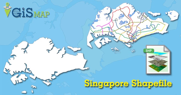
Download Singapore Administrative Boundary Shapefiles – Regions, Community Development Councils, Electoral Boundaries and more
Hello GIS enthusiasts, IGISMAP has now published the latest GIS vector data of Singapore administrative levels. Links for downloading the shapefiles of…
2 min read
→
 GIS Analysis
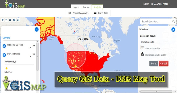
Query GIS Data – IGIS Map Tool – Now known as MAPOG
To Query GIS Data easily with IGIS map tool, we can use the Query tool. A GIS query tool, or selection tool…
2 min read
→
 GIS
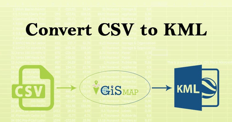
Convert CSV to KML
Hello guys, If you are looking for converting your CSV file into KML, you have landed on the right place. Here in…
3 min read
→
 GIS
Introduction of QGIS 3.4.4 for beginners
Quantum Geographical Information System is a open source platform for viewing, editing, managing and analysis of spatial data with various features which…
2 min read
→
 Convert GIS Data
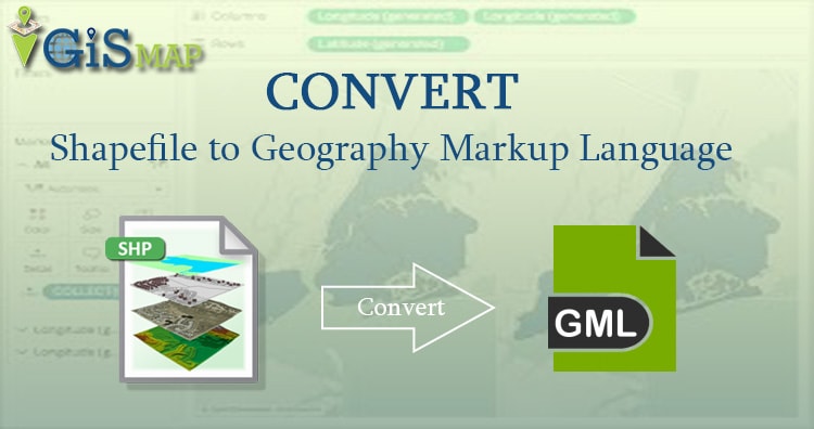
SHP to GML – Convert Shapefile to Geography Markup Language
Shape file shp to GML conversion is required when you carry data from one place to another. Shapefiles are heavy as compared…
4 min read
→
 GIS
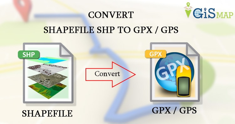
SHP to GPX / GPS – Convert Shapefile to Global Positioning System
Shapefile shp can be converted into GPS ( Global Positioning System) using ogr2ogr utility. The GPS data is best option when routes…
4 min read
→
 GIS
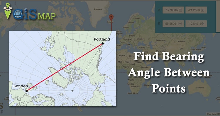
Formula to Find Bearing or Heading angle between two points: Latitude Longitude
Formula to Find Bearing or Heading angle between two points. Bearing or heading angle is used to define navigation generally in the…
5 min read
→
ArcGIS
How to remove gaps from a polygon layer file in ArcGIS?
How to remove gaps from a polygon layer file in ArcGIS? While preparing polygon layer file following various stages of layer preparation…
3 min read
→