 GIS
Download Maldives Administrative Boundary GIS Data – Provinces, Atolls and more
IGISMAP introduces the Maldives' GIS data collection, encompassing administrative boundaries such as national boundaries and atolls, available for download in various formats…
3 min read
→
GIS
Add / Upload polygon GIS data and merge required polygon features
For a GIS project, accessing the required data is the first step that determines the further workflow of the project. Online sources…
3 min read
→
 Case Study
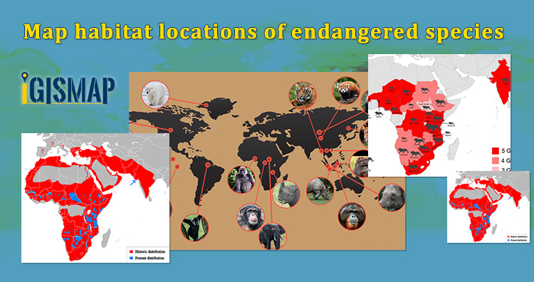
Map habitat locations of endangered animals & keep track of their living
“ Wilderness without wildlife is just scenery”-Lois Crisler The International Union for Conservation of Nature (IUCN) states that endangered species are the…
5 min read
→
 Case Study
Plot ATM locations on a map and embed on your website
Consider that you are an engineer working for the technical support team in a bank. And you were asked to host a…
5 min read
→
 Convert GIS Data
Convert GML to KML
GML is used in a geographic information system(GIS) for expressing geographic features as well as an open interchange format for geographic transactions…
2 min read
→
 Convert GIS Data
GeoJSON to GeoTIFF – Vector to Raster Conversion
GeoJSON is an open standard geospatial data interchange format that represents simple geographic features and their non-spatial attributes. It is based on…
2 min read
→
 Convert GIS Data
KML to GeoTIFF – Vector to Raster Conversion
KML, or Keyhole Markup Language, is a geospatial data collection used in Google Earth and other Google services. TIFF, also known as…
2 min read
→
 Convert GIS Data
Convert Shapefile to PDF
A GIS file is a format used as a norm for encoding geographical information into computer readable file. GIS (geographical information system)…
2 min read
→
 Convert GIS Data
Convert KML to TopoJSON
KML or Keyhole Markup Language is a collection of geospatial data on map and commonly used in Google Earth or google services.…
2 min read
→
 Convert GIS Data
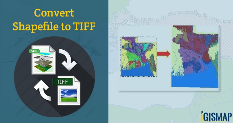
Shapefile to GeoTIFF – Vector to Raster Conversion
Shapefile is a vector data format for storing geographical data and associated attribute information. It is developed and regulated by ESRI as…
2 min read
→