Hello GIS enthusiasts, IGISMAP has now published the latest GIS vector data of Indonesia administrative levels. Links for downloading the shapefiles of the important administrative divisions of Indonesia are provided in the following. You can also download these data in KML, GeoJSON or CSV formats.
Note:
- All data available are in GCS datum EPSG:4326 WGS84 CRS (Coordinate Reference System).
- You need to login for downloading the shapefile.
Download Free Shapefile Data of Indonesia
Indonesia, officially the Republic of Indonesia, is a country in Southeast Asia and Oceania between the Indian and Pacific oceans. It consists of over 17,000 islands, including Sumatra, Java, Sulawesi, and parts of Borneo and New Guinea. Indonesia is the world’s largest island country and the 14th-largest country by area, at 1,904,569 square kilometres (735,358 square miles).
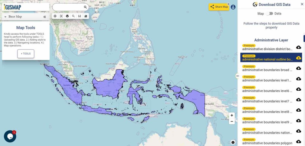
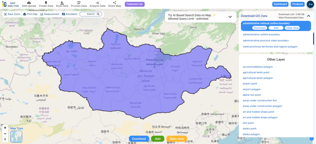
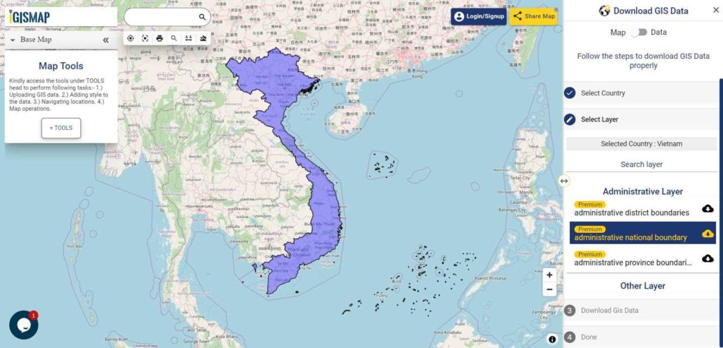
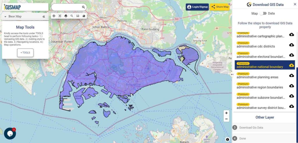
Download Indonesia National Outline Boundary Shapefile
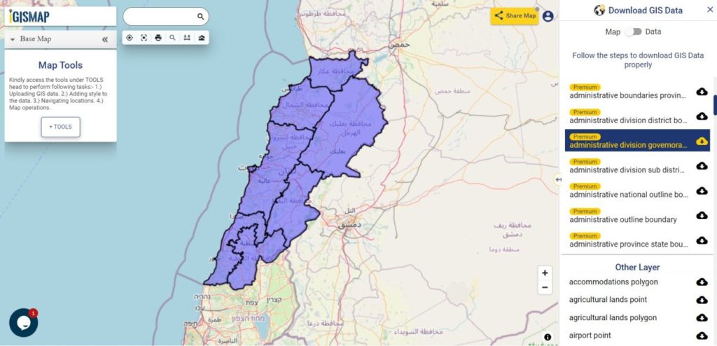
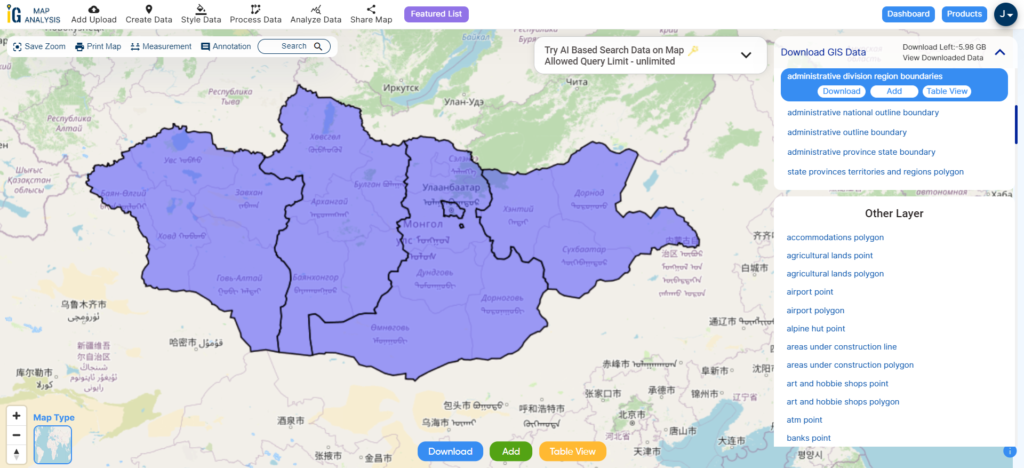
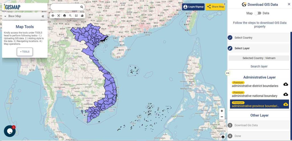
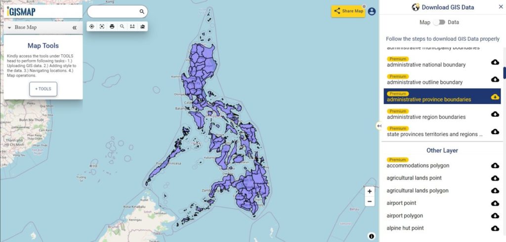
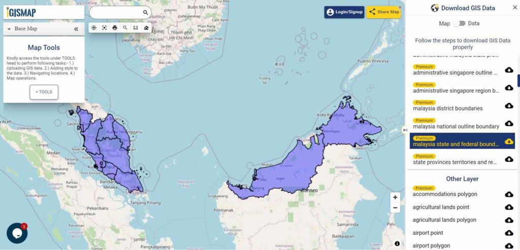
Download Indonesia Province Shapefile Data
Below Polygon of Indonesia shapefile covers 34 provinces –
- Aceh
- North Sumatra
- West Sumatra
- Riau
- Riau Archipelago/Islands
- Jambi
- Bengkulu
- South Sumatra
- Bangka Belitung Islands
- Lampung
- Banten
- Jakarta
- West Java
- Central Java
- Yogyakarta
- East Java
- Bali
- West Nusa Tenggara
- East Nusa Tenggara
- West Kalimantan
- Central Kalimantan
- South Kalimantan
- East Kalimantan
- North Kalimantan
- North Sulawesi
- Gorontalo
- Central Sulawesi
- West Sulawesi
- South Sulawesi
- Southeast Sulawesi
- North Maluku
- Maluku (The Moluccas)
- West Papua
- Papua
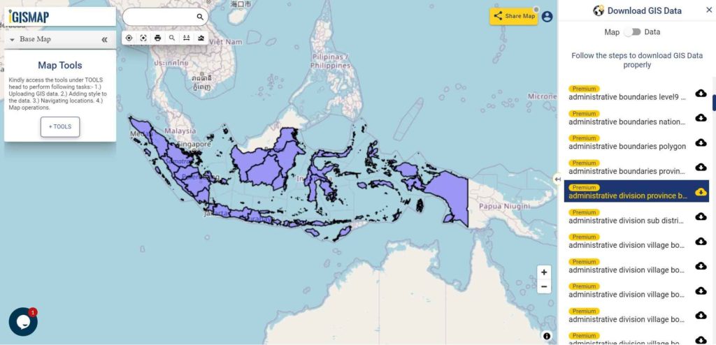
Download Indonesia Province Boundaries Shapefile
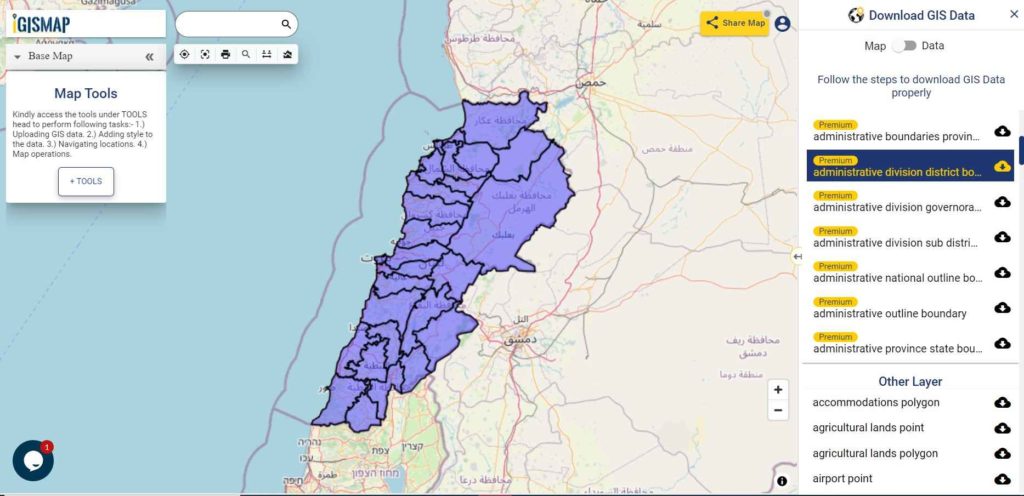
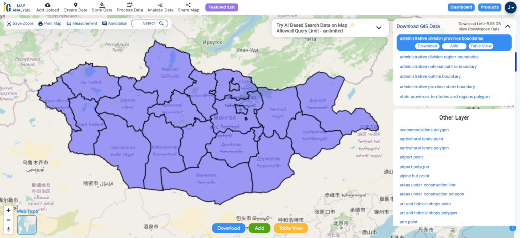
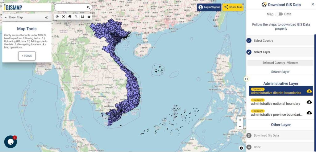
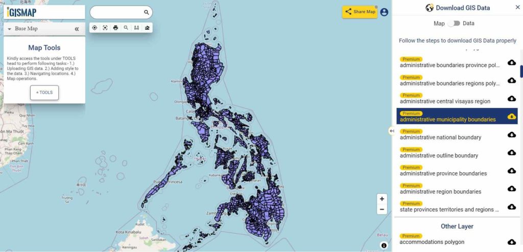
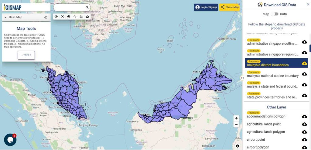
Download Indonesia District Shapefile Data
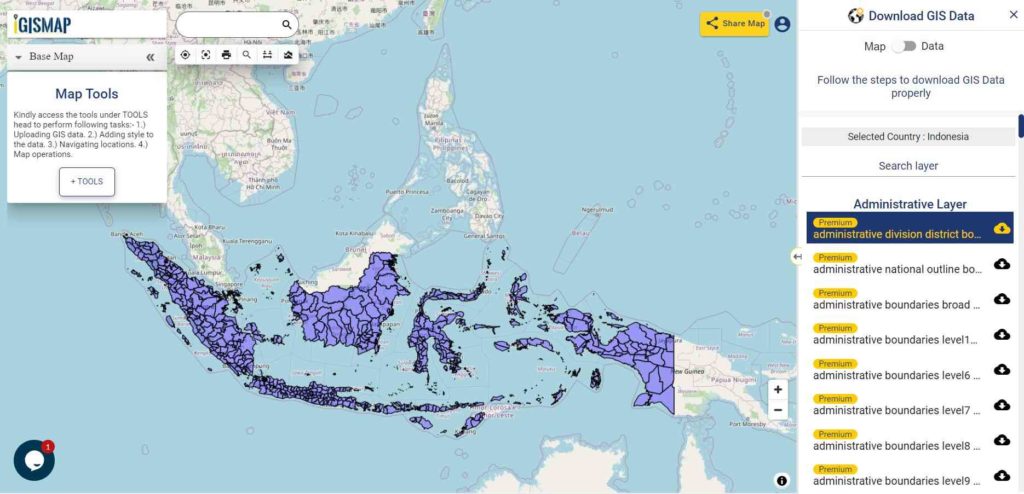
Download Indonesia District Boundaries Shapefile
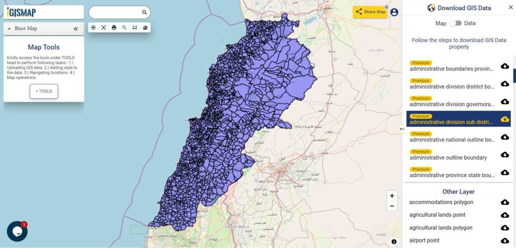
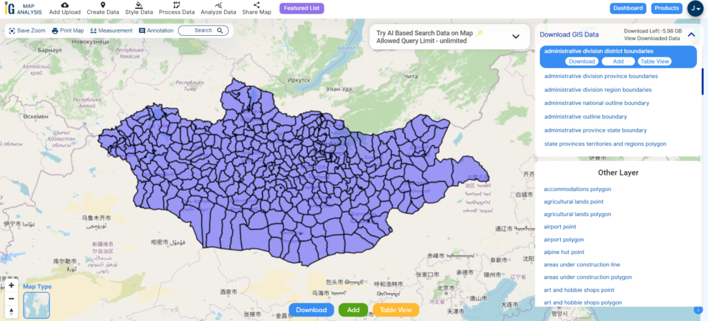
Download Indonesia Sub District Shapefile Data
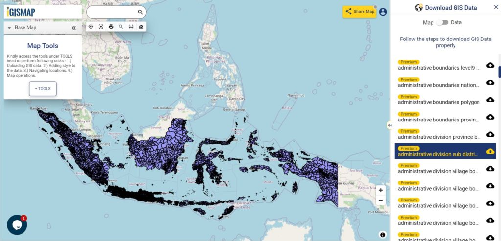
Download Indonesia Sub District Boundaries Shapefile
Other GIS Data:
- Village boundaries of Indonesia is provided in 8 divisions as following due to the size of the data
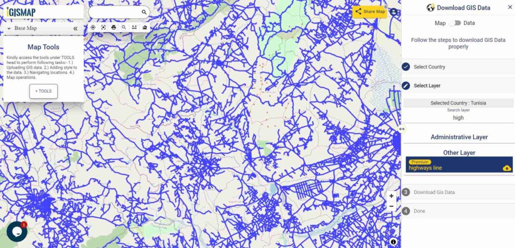
- Download Indonesia Highway Lines Shapefile
- Download Indonesia Railway Lines Shapefile
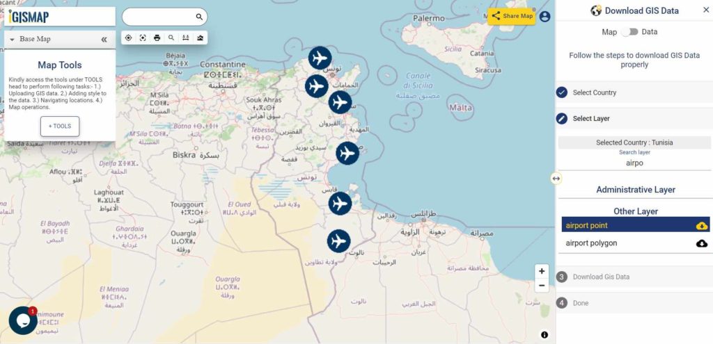
- Download Indonesia Airport Location Shapefile
- Download Indonesia Ferry Location Shapefile
Convert Indonesia Shapefile SHP to KML
For Indonesia SHP to KML conversion go to MAPOG Tool and follow the steps for Indonesia Shapefile SHP to KML file conversion.
Convert Indonesia KML to Indonesia Shapefile
For Indonesia KML conversion login at story.mapog.com and follow the steps for KML to Shapefile SHP.
Download Free Shapefile for the following:
- World Countries Shapefile
- Australia
- Argentina
- Austria
- Belgium
- Brazil
- Canada
- Denmark
- Fiji
- Finland
- Germany
- Greece
- India
- Indonesia
- Ireland
- Italy
- Japan
- Kenya
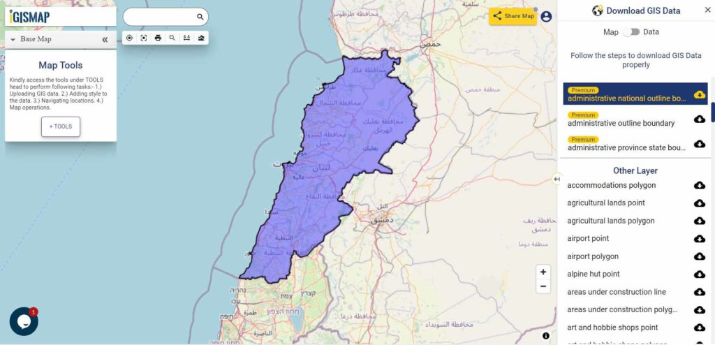
- Lebanon
- Madagascar
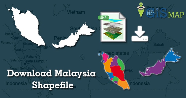
- Malaysia
- Mexico
- Mongolia
- Netherlands
- New Zealand
- Nigeria
- Papua New Guinea
- Philippines
- Poland
- Russia
- Singapore
- South Africa
- South Korea
- Spain
- Switzerland
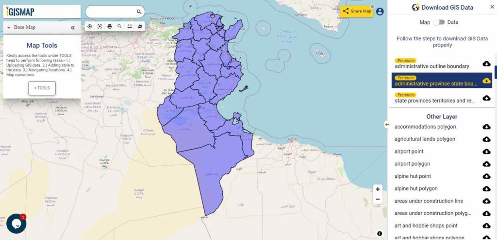
- Tunisia
- United Kingdom Shapefile
- United States of America
- Vietnam
- Croatia
- Chile
- Norway
Disclaimer : If you find any shapefile data of country provided is in correct do contact us or comment below, so that we will correct the same in our system.