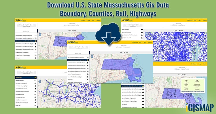
GIS Data and Maps of Massachsetts State is used by planners and surveyors for visualizing and identifying the patterns that are difficult to examine when data is in table form. Here you can download the GIS data of the state boundary, county division, rail and highway maps in just a few clicks. You can use these data for analysis in IGISMAP itself or download them in any suitable GIS format. You can download these data in KML, GeoJSON, CSV or Shapefile formats.
Note:
- All data available are in GCS datum EPSG:4326 WGS84 CRS (Coordinate Reference System).
- You need to login for downloading the shapefile.
Download free shapefile ofMassachusetts State
Massachusetts is the most populous state in the New England region of the Northeastern United States. It is the seventh – smallest state.
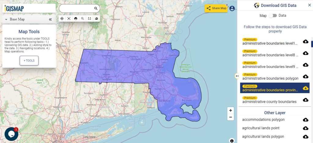
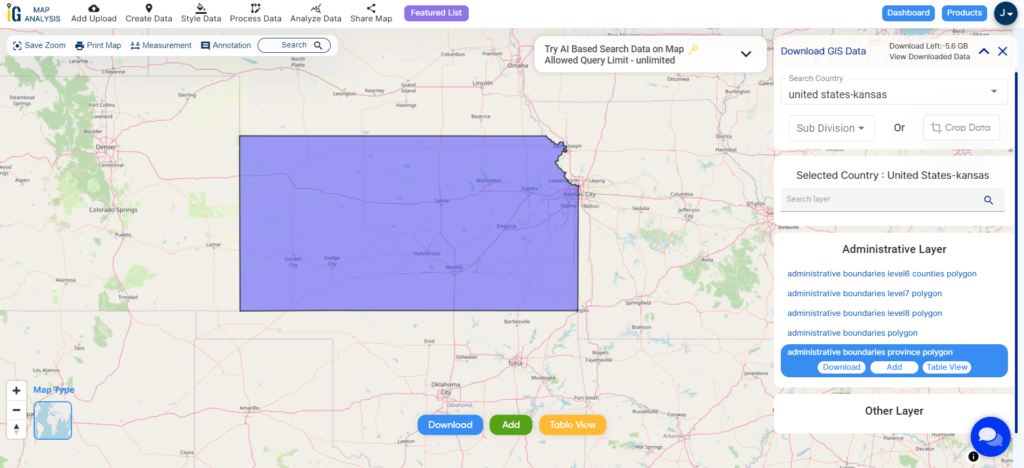
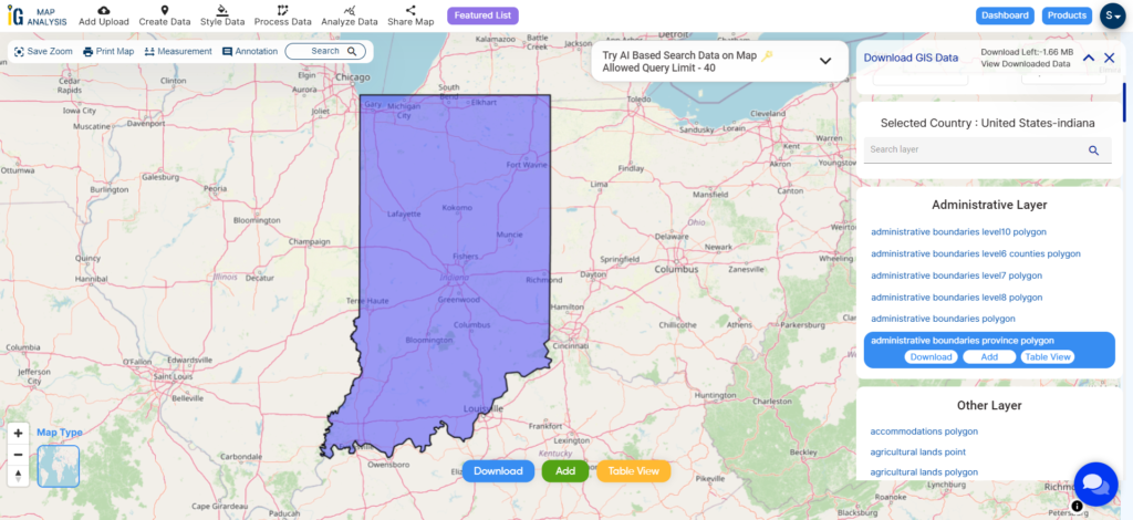
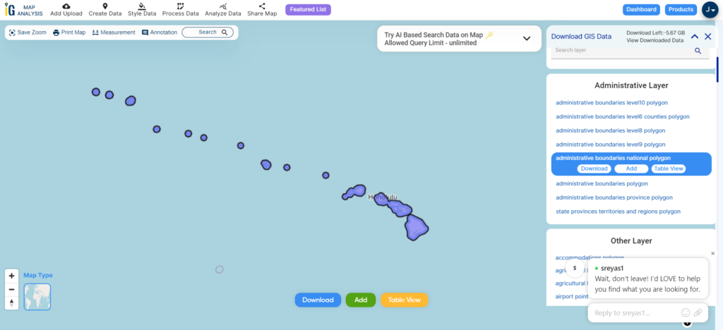
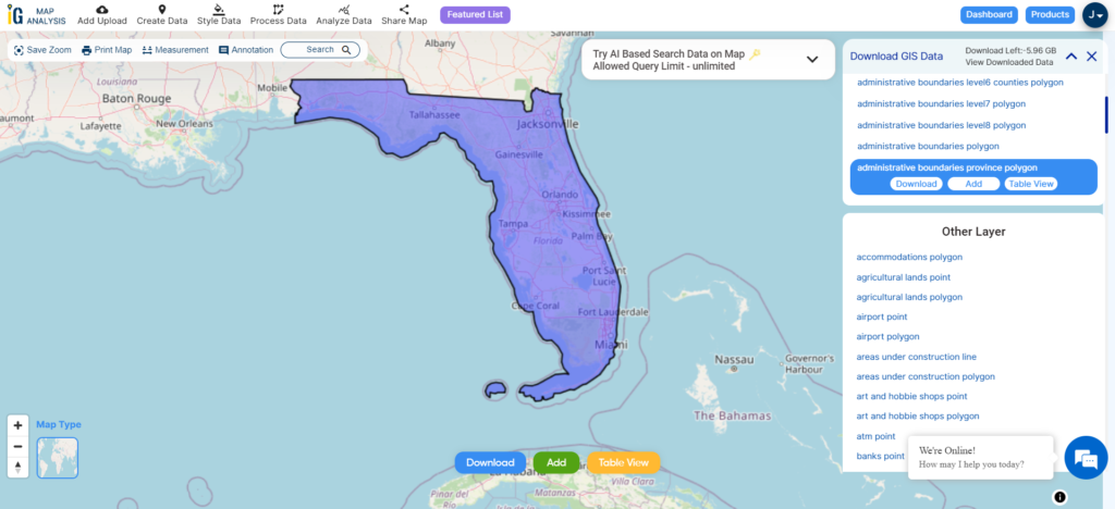
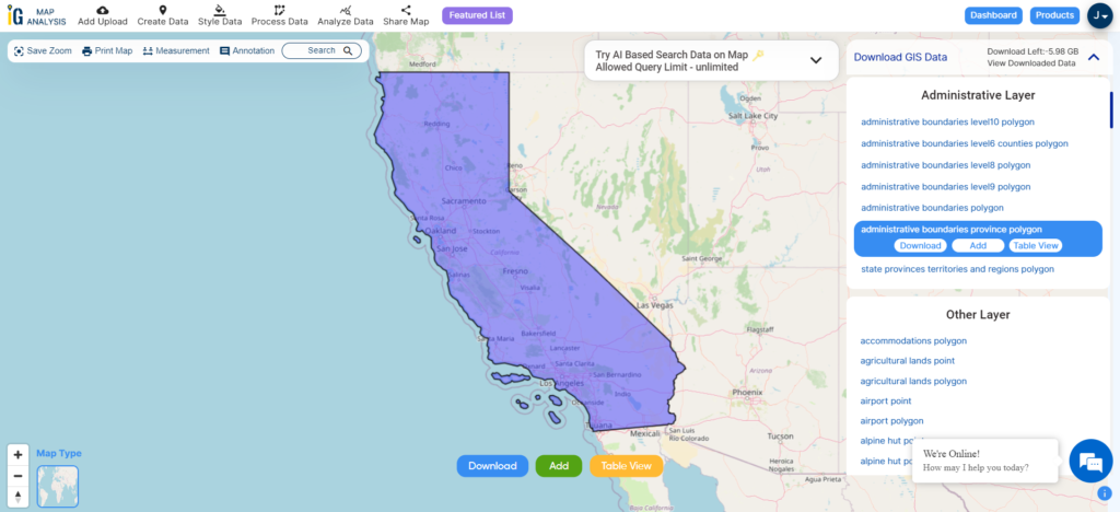
Download Massachusetts State Outline Boundary Shapefile
In the above screen, the Massachusetts GIS map is visible. The layer’s name is provided on the left side of the screen. For download click on the button placed beside each layer name. Before downloading maps most importantly check the data by switching the button from Map to Data placed above the map. You can download gis data in shapefile, CSV, Kml, Mapinfo, Geojson, PostgreSQL. In addition to the above GIS formats if you want data in other formats use GIS Converter.
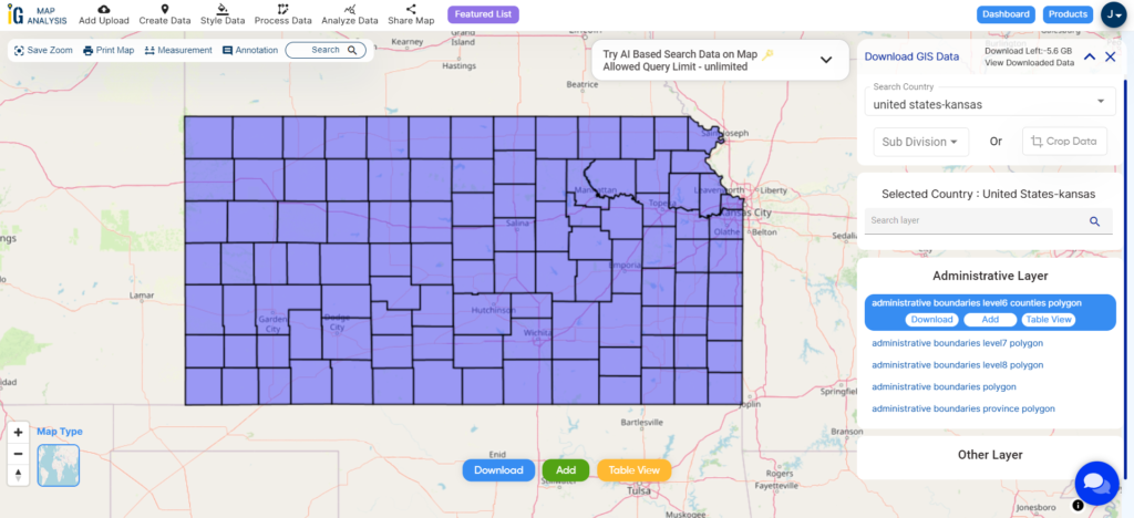
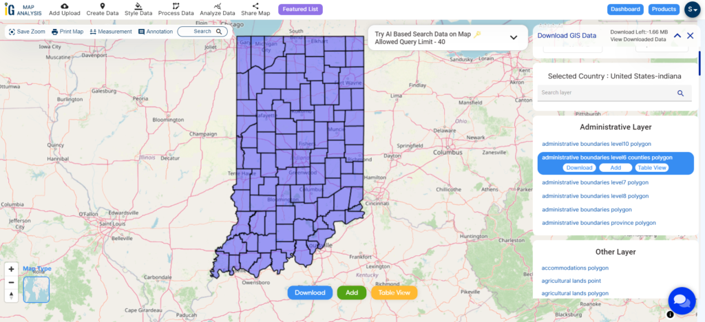
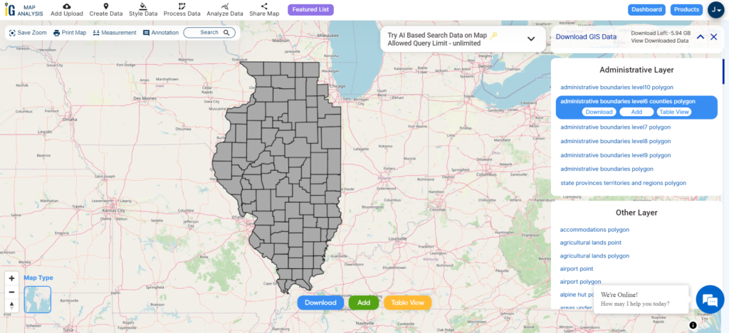
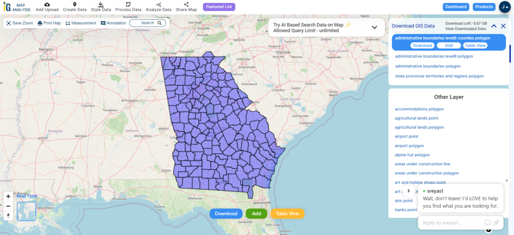
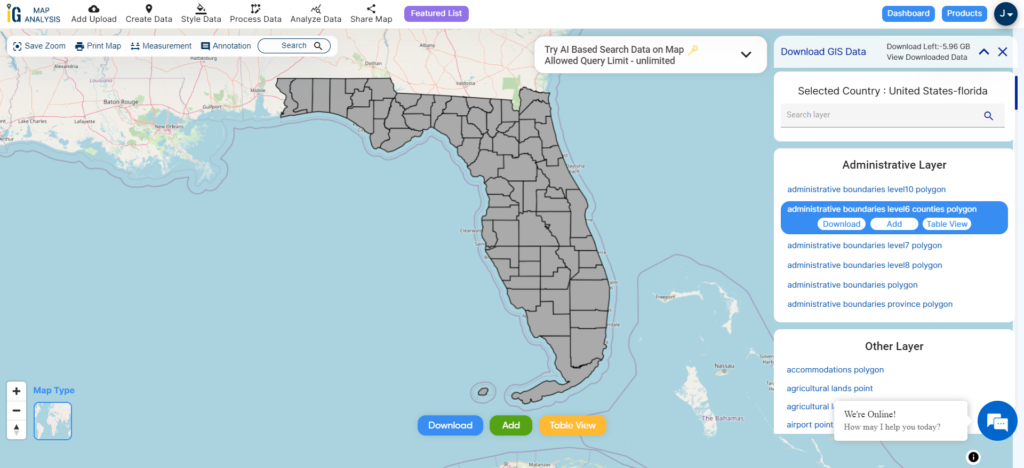
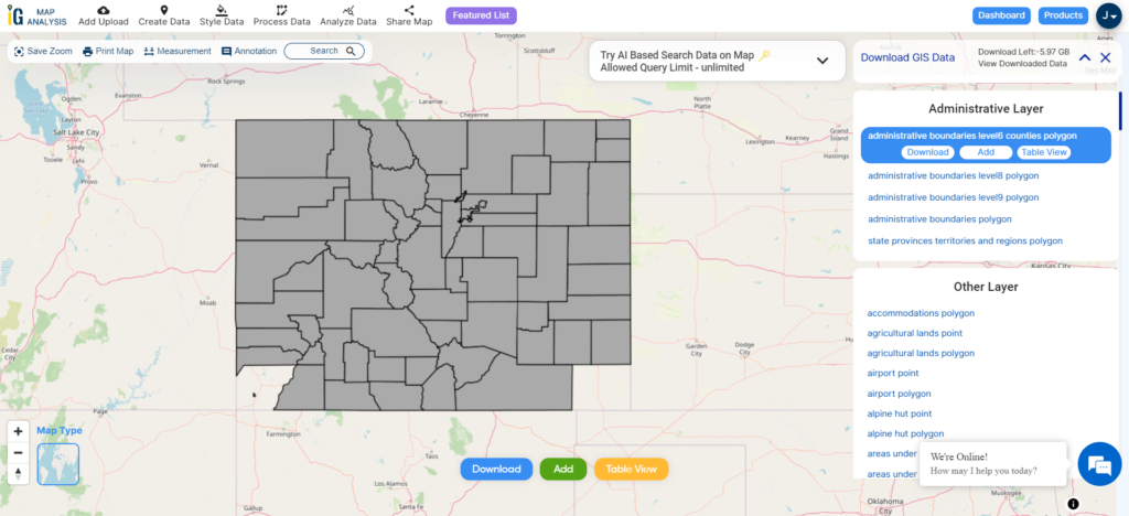
Download Massachusetts Counties shapefile
Massachusetts state of the United States has 14 counties.
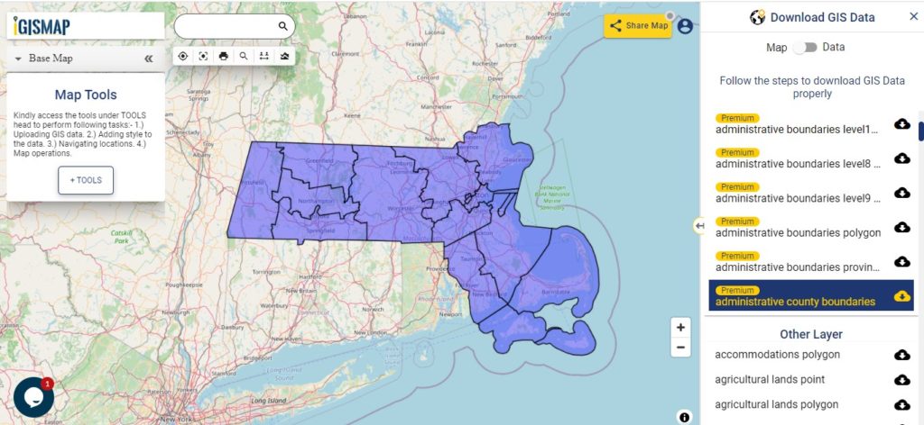
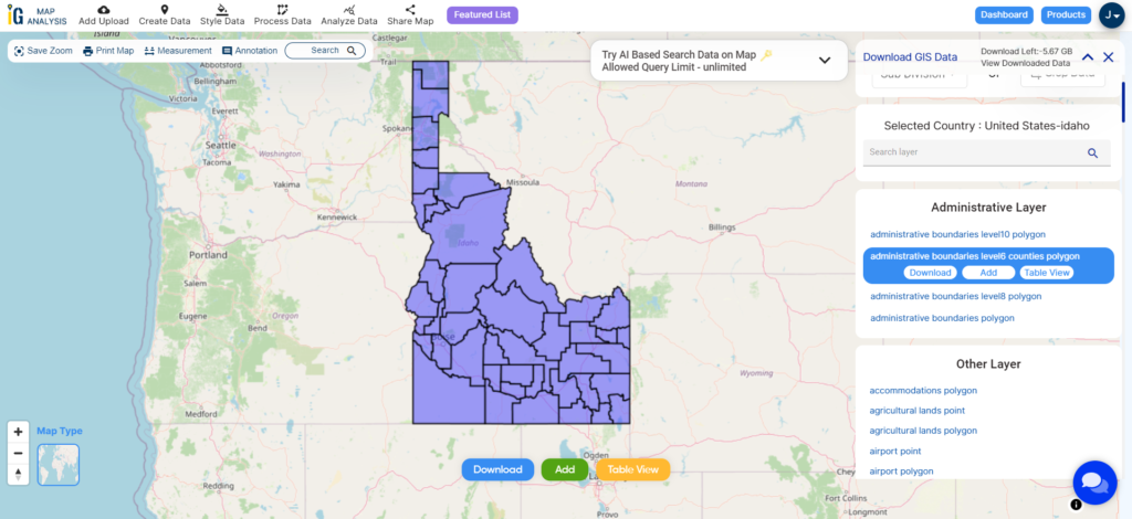
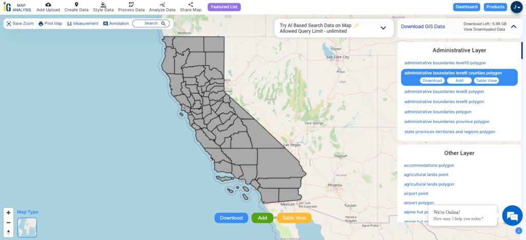
Download Massachusetts County Boundary Shapefile
A polygon map of Massachusetts is shown above. Furthermore, for creating an interactive map Upload this map in the MAPOG and download the edited map. Moreover, with formatting, you can also share a map with others.
Above map covers following Counties of Massachusetts –
- Barnstable
- Berkshire
- Bristol
- Dukes
- Essex
- Franklin
- Hampden
- Hampshire
- Middlesex
- Nantucket
- Norfolk
- Plymouth
- Suffolk
- Worcester
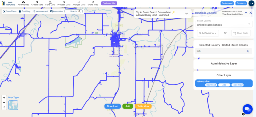
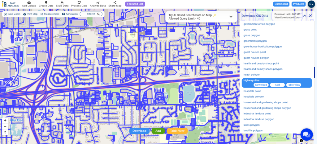
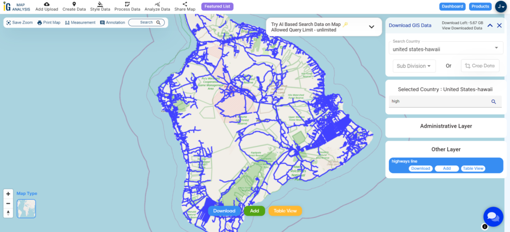
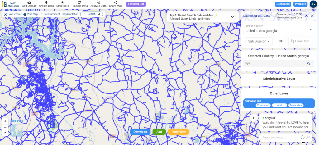
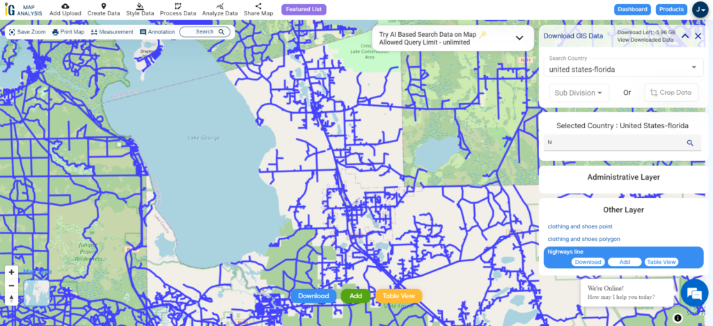
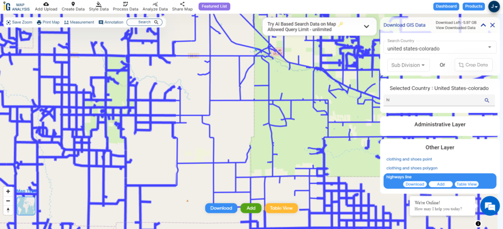
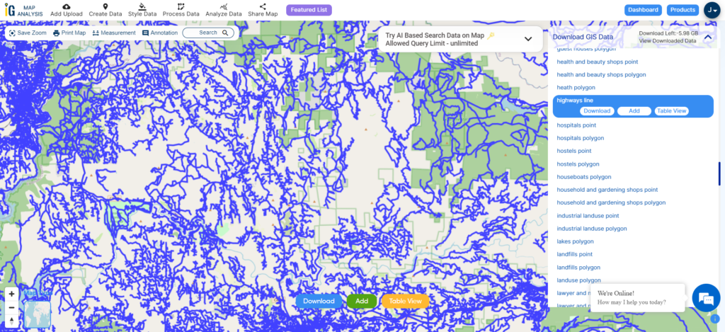
Highway Line GIS Data of Massachusetts
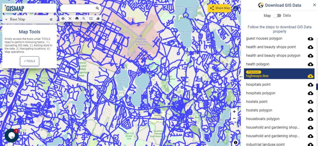
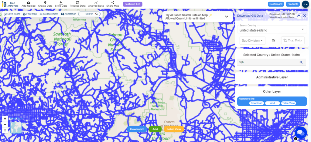
Download Massachusetts Highway Line Shapefile
Zoom in view of highway line map is shown shown above. Similarly, you can easily download point based GIS data of airport point, ATM point, parking area, hospital location, etc.
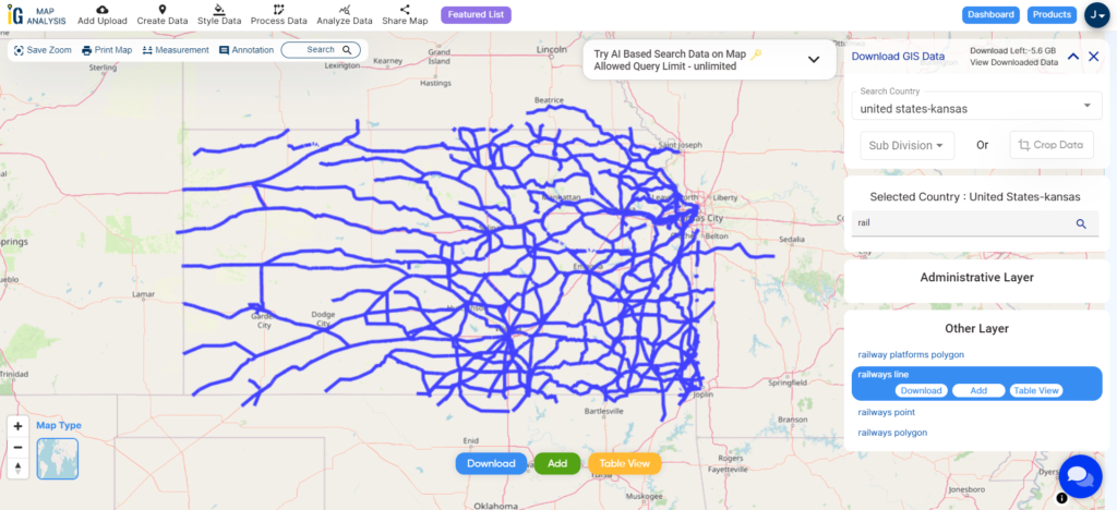
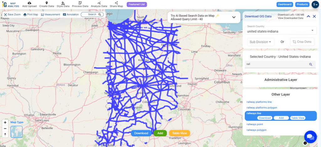
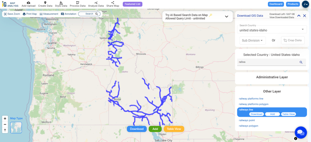
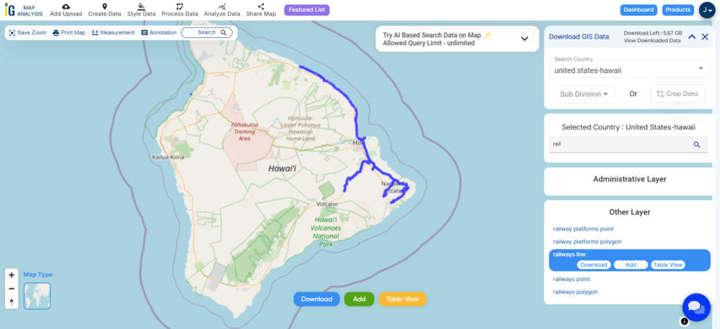
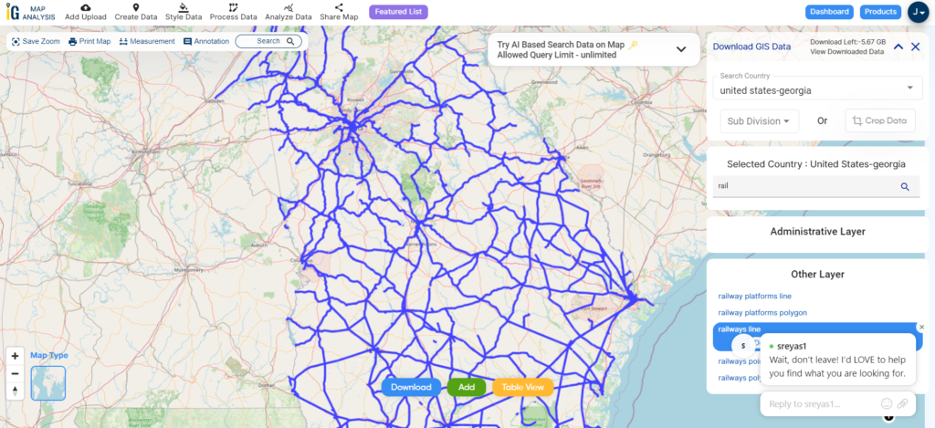
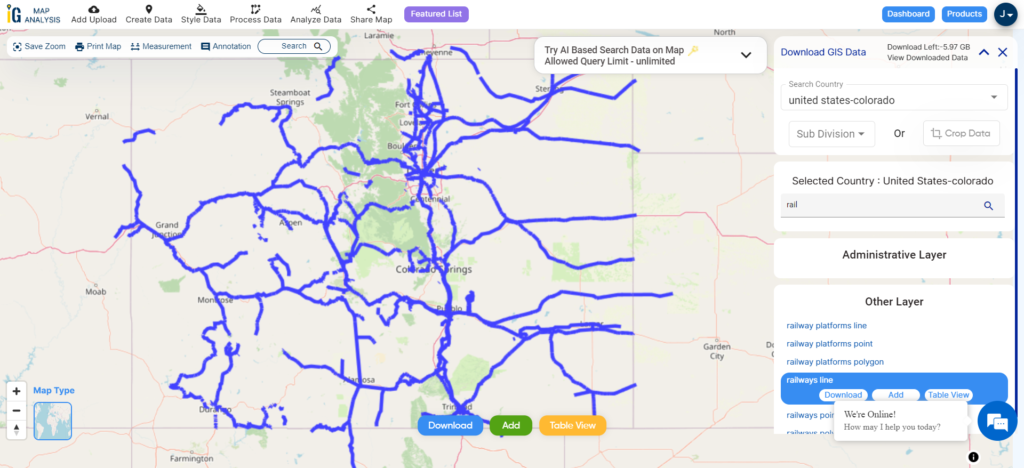
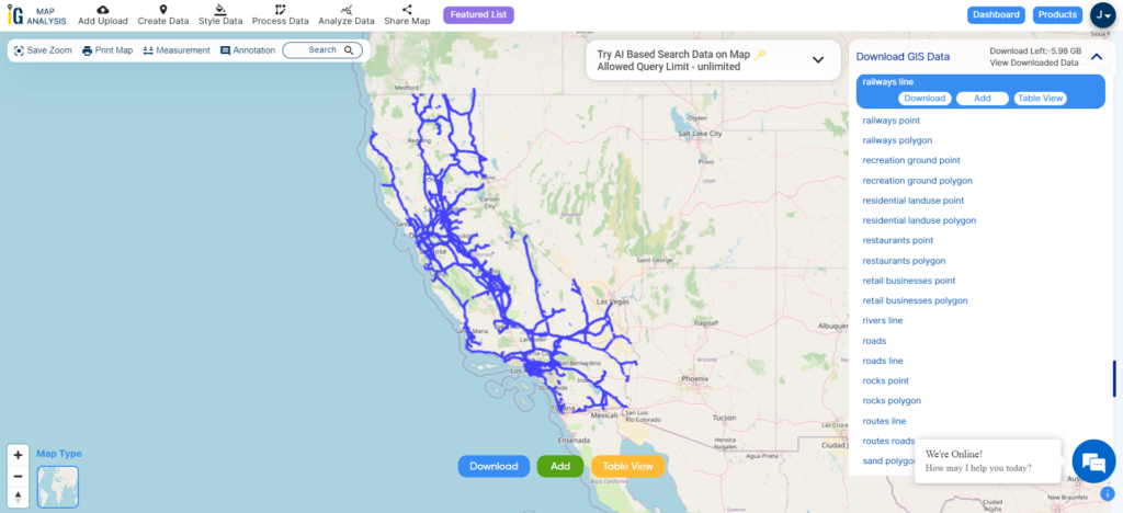
Railways Line Data of Massachusetts
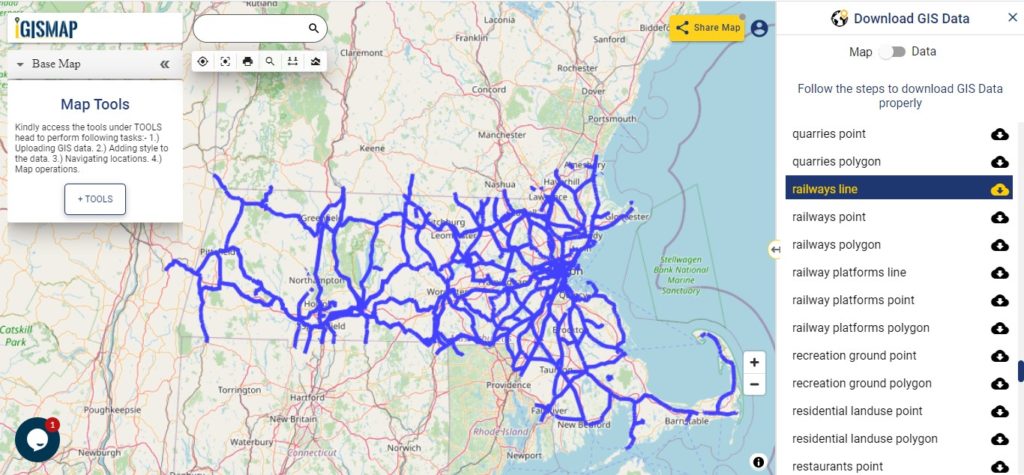
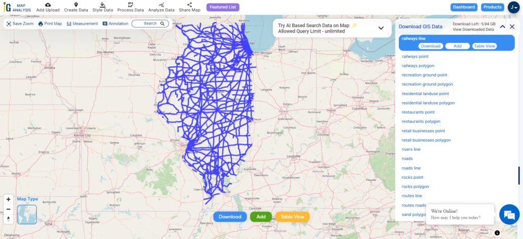
Download Massachusetts Railway Line Shapefile
With above all links you can easily download the Gis maps of the U.S. State Massachusetts. For other states you can below heading.
Download GIS Data of other states of USA:
- Alabama
- Alaska
- Arizona
- Arkansas
- California
- Colorado
- Connecticut
- Florida
- Georgia
- Hawaii
- Idaho
- Illinois
- Indiana
- Iowa
- Kansas
- Massachusetts
- Maryland
- Michigan
- Minnesota
- Mississipi
- Missouri
- Montana
- Nevada
- Nebraska
- Ohio
- Oklahoma
- Pennsylvania
- Utah
- Vermont
- Washington
- Wisconsin
- Wyoming
- Tennessee
- Texas
- Kentucky
- Louisiana
- Maine
- North Carolina
- Oregon
- Virginia
- West Virginia
Disclaimer : If you find any shapefile data of country provided is in correct do contact us or comment below, so that we will correct the same in our system.