i
GIS
MAP
Home
Book a Meeting
Blogs
Login / Register
Category
Category: KML
51 posts
Case Study
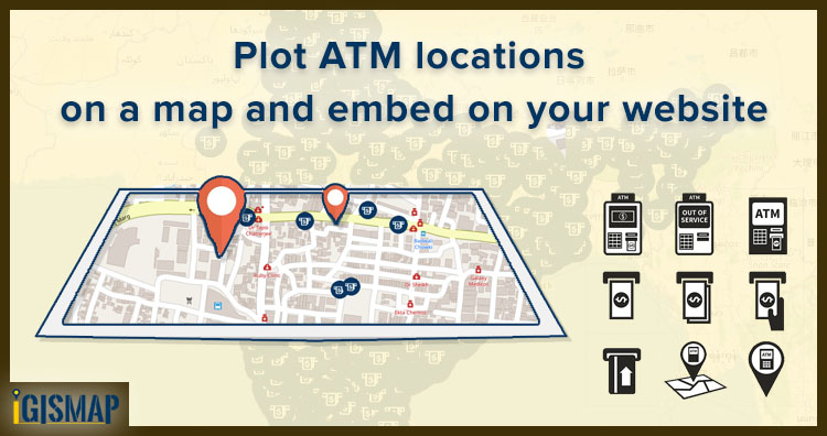
Plot ATM locations on a map and embed on your website
Consider that you are an engineer working for the technical support team in a bank. And you were asked to host a…
5 min read
→
GeoJSON
Download Montana State GIS Data – County, rail, highway shapefile
GIS Data and Maps of Montana State is used by planners and surveyors for visualizing and identifying the patterns that are difficult…
2 min read
→
GeoJSON
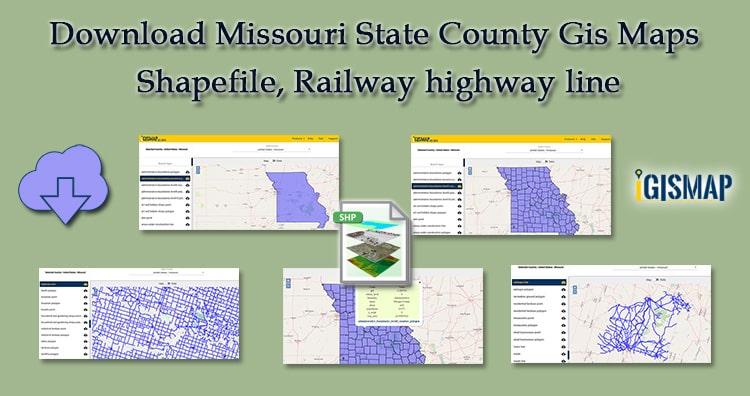
Download Missouri GIS Data Maps State, County- Shapefile, Rail, highway line
GIS Data and Maps of Missouri State is used by planners and surveyors for visualizing and identifying the patterns that are difficult…
3 min read
→
GeoJSON
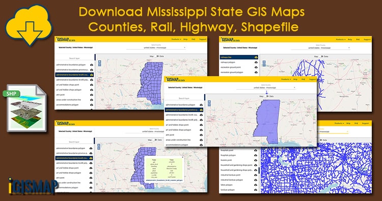
Download Mississippi state GIS maps – counties, rail, highway, shapefile
GIS Data and Maps of Mississippi State is used by planners and surveyors for visualizing and identifying the patterns that are difficult…
2 min read
→
GeoJSON
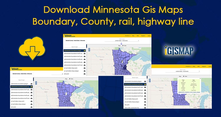
Download Minnesota GIS Maps – Boundary, County, Rail, highway line
GIS Data and Maps of Minnesota State is used by planners and surveyors for visualizing and identifying the patterns that are difficult…
3 min read
→
GeoJSON
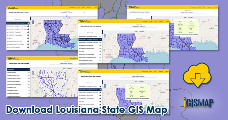
Download Louisiana State GIS Map – Boundary, Parishes, Rail, highway
GIS Data and Maps of Louisiana State is used by planners and surveyors for visualizing and identifying the patterns that are difficult…
2 min read
→
GeoJSON
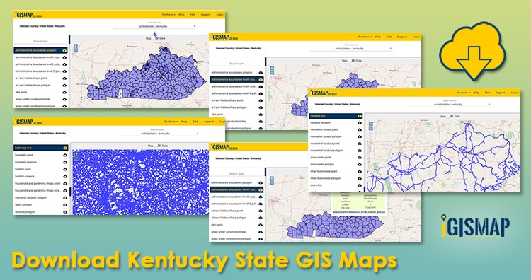
Download Kentucky State GIS Maps – Boundary, Counties, Rail, highway
GIS Data and Maps of Kentucky State is used by planners and surveyors for visualizing and identifying the patterns that are difficult…
3 min read
→
GeoJSON
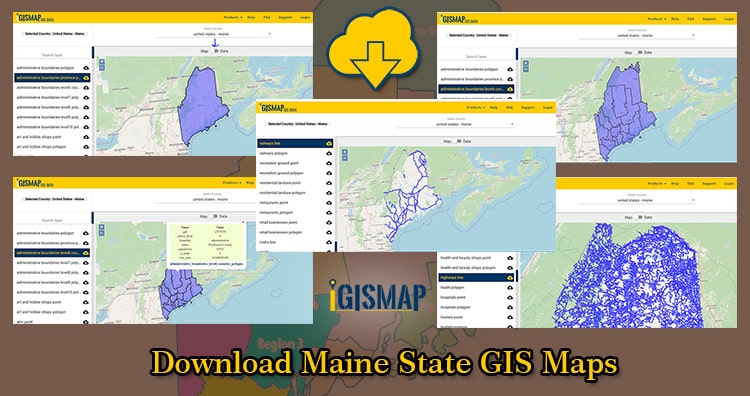
Download Maine State GIS Maps – Boundary, Counties, Rail, highway
GIS Data and Maps of Maine State is used by planners and surveyors for visualizing and identifying the patterns that are difficult…
2 min read
→
GeoJSON
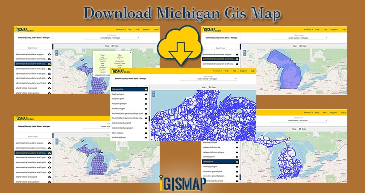
Download Michigan GIS Map – boundary, county, rail, highway, shapefile, kml
GIS Data and Maps of Michigan State is used by planners and surveyors for visualizing and identifying the patterns that are difficult…
2 min read
→
GeoJSON
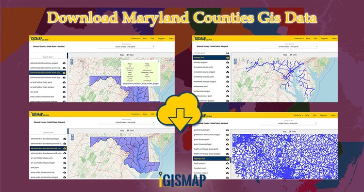
Download Maryland Counties GIS Data – State Boundary, Rail, Highways Line
GIS Data and Maps of Marryland State is used by planners and surveyors for visualizing and identifying the patterns that are difficult…
2 min read
→
Posts pagination
‹
1
2
3
4
…
6
›
Exit mobile version
We use cookies to ensure that we give you the best experience on our website. If you continue to use this site we will assume that you are happy with it.
Ok