i
GIS
MAP
Home
Book a Meeting
Blogs
Login / Register
Category
Category: GIS Data Download
259 posts
GIS
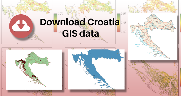
Download Croatia Administrative Boundary GIS Data – Shapefiles – County, Municipalities
IGISMAP has unveiled Croatia's GIS data collection, including shapefiles for essential administrative divisions such as counties and municipalities. Accessible in various formats…
3 min read
→
GIS
Download Finland Administrative Boundary Shapefiles – Regional State Administrative Agencies, Municipalities and more
Great news for all GIS admirers. IGISMAP have recently published with GIS data collection for more than 100 new countries. Links for…
3 min read
→
Case Study
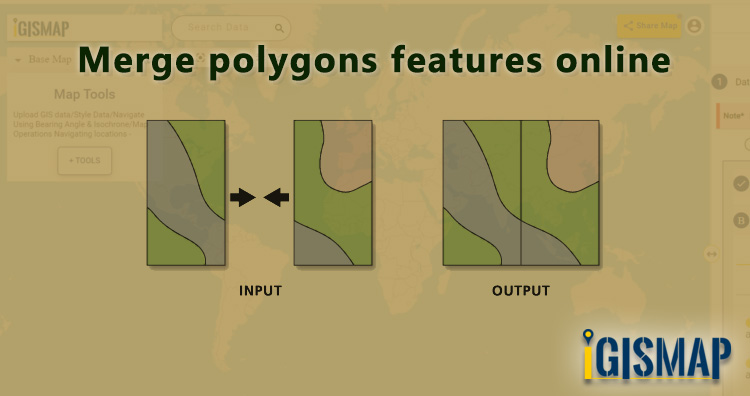
Merge polygons features online using IGISMap
In GIS data, a geographic area is represented in a polygon shape. Geospatial features such as administrative boundaries are digitized in the…
4 min read
→
GIS
Add / Upload polygon GIS data and merge required polygon features
For a GIS project, accessing the required data is the first step that determines the further workflow of the project. Online sources…
3 min read
→
Case Study
Convert addresses from spreadsheet to points on Map in two steps
Consider a customer service manager working for a supermarket company wants to connect with some of their best customers for giving winning…
3 min read
→
Case Study
How to style your polygon GIS data categorically
GIS helps users to understand patterns, relationships and geographic context. It benefit includes improved communication and efficiency, as well as improved management…
4 min read
→
GeoJSON
How to use Add Existing File tool of IGISMap
The applications of GIS tools are expanding in the field of business, research, defense, etc. Thus the features and tools of every…
3 min read
→
GeoJSON
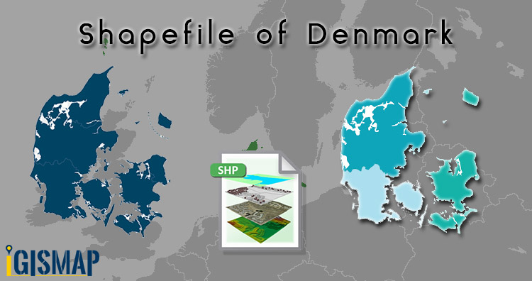
Download Denmark Administrative Boundary Shapefiles – Regions, Municipalities, Postal Areas and More
Hello GIS enthusiasts, IGISMAP has now published the latest GIS vector data of Denmark administrative levels. Links for downloading the shapefiles of…
2 min read
→
GIS
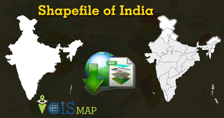
Download India Administrative Boundary Shapefiles – States, Districts, Pincodes and more
Namaste GIS professionals after a long time here is the shapefile of India. We get lots of queries on how to download…
2 min read
→
Posts pagination
‹
1
…
25
26
Exit mobile version
We use cookies to ensure that we give you the best experience on our website. If you continue to use this site we will assume that you are happy with it.
Ok