Hello GIS enthusiasts, IGISMAP has now published the latest GIS vector data of Mexico administrative levels. Links for downloading the shapefiles of the important administrative divisions of Mexico are provided in the following. You can also download these data in KML, GeoJSON or CSV formats.
Note:
- All data available are in GCS datum EPSG:4326 WGS84 CRS (Coordinate Reference System).
- You need to login for downloading the shapefile.
Download Free Shapefile Data of Canada
Canada is a country in North America. Its ten provinces and three territories extend from the Atlantic Ocean to the Pacific Ocean and northward into the Arctic Ocean, covering over 9.98 million square kilometers (3.85 million square miles), making it the world’s second-largest country by total area. Its southern and western border with the United States, stretching 8,891 kilometers (5,525 mi), is the world’s longest binational land border. Canada’s capital is Ottawa, and its three largest metropolitan areas are Toronto, Montreal, and Vancouver.
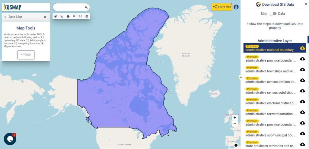
Download Canada National Outline Boundary Shapefile
Download Canada Province Shapefile Data
Canada province shapefile covers following provinces and territories-
- Alberta
- British Columbia
- Manitoba
- New Brunswick
- Newfoundland and Labrador
- Nova Scotia
- Ontario
- Prince Edward Island
- Quebec
- Saskatchewan
- Northwest Territories
- Nunavut
- Yukon
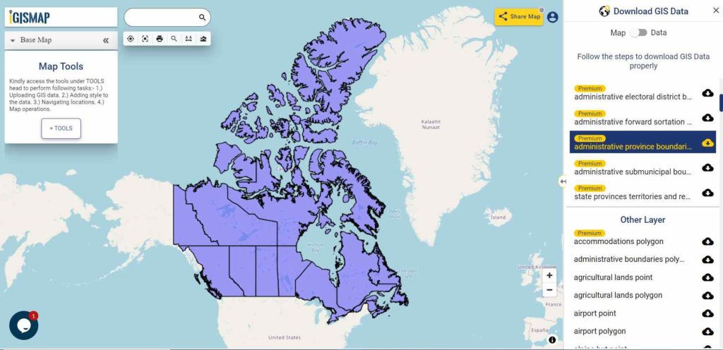
Download Canada Province Boundaries Shapefile
Download Canada Census Divisions Shapefile Data
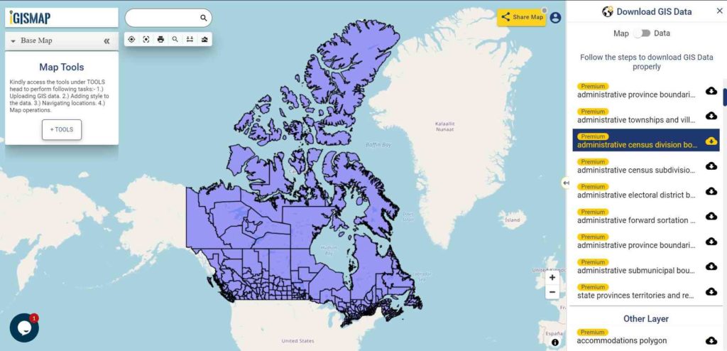
Download Canada Census Division Boundaries Shapefile
Download Canada Census Subdivisions Shapefile Data
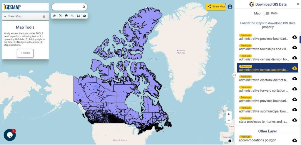
Download Canada Census Subdivision Boundaries Shapefile
Other Administrative Shapefile Data:
- Download Canada Province Full Extend Boundaries Shapefile
- Download Canada Electoral Districts Boundaries Shapefile
- Download Canada Sub Municipal Boundaries Shapefile
- Download Canada Forward Sortation Boundaries Shapefile
- Download Canada Township and Village Boundaries Shapefile
Other GIS Data:
- Download Canada Highway Lines Shapefile
- Download Canada Railway Lines Shapefile
- Download Canada Airport Locations Shapefile
- Download Canada Ferry Terminal Locations Shapefile
You can view this shapefile in our tool MAPOG Tool
Please note that the Canada data provided here is license under Open Data Commons Open Database License (ODbL). Please review the same before using it. If you want data under different license you can also look over to the post : Download Free Shapefile Maps – Country Boundary Polygon, Rail-Road, Water polyline etc
Download Free Shapefile for the following:
- World Countries Shapefile
- Australia
- Argentina
- Austria
- Belgium
- Brazil
- Canada
- Denmark
- Fiji
- Finland
- Germany
- Greece
- India
- Indonesia
- Ireland
- Italy
- Japan
- Kenya
- Lebanon
- Madagascar
- Malaysia
- Mexico
- Mongolia
- Netherlands
- New Zealand
- Nigeria
- Papua New Guinea
- Philippines
- Poland
- Russia
- Singapore
- South Africa
- South Korea
- Spain
- Switzerland
- Tunisia
- United Kingdom Shapefile
- United States of America
- Vietnam
- Croatia
- Chile
- Norway
Disclaimer : If you find any shapefile data of country provided is in correct do contact us or comment below, so that we will correct the same in our system.