
Hello GIS enthusiasts, IGISMAP has now published the latest GIS vector data of Brazil administrative levels. Links for downloading the shapefiles of the important administrative divisions of Brazil are provided in the following. You can also download these data in KML, GeoJSON or CSV formats.
Note:
- All data available are in GCS datum EPSG:4326 WGS84 CRS (Coordinate Reference System).
- You need to login for downloading the shapefile.
Download Free Shapefile Data of Brazil
Brazil officially the Federative Republic of Brazil (Portuguese: República Federativa do Brasil), is the largest country in both South America and Latin America. At 8.5 million square kilometers (3,300,000 sq mi) and with over 214 million people, Brazil is the world’s fifth-largest country by area and the sixth most populous. Its capital is Brasília, and its most populous city is São Paulo.
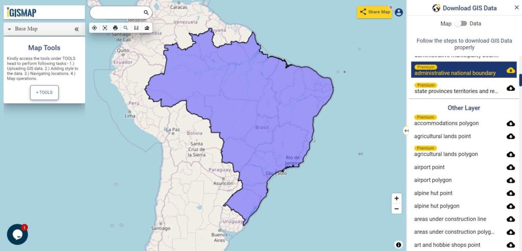
Download Brazil National Outline Boundary Shapefile
Download Brazil Regions Shapefile Data
Polygon shapefile of Brazil comprises Central west region, Northeast region, North region, Southeast region and south region.
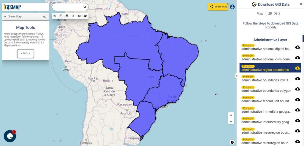
Download Brazil Region Boundaries Shapefile
Download Brazil Federal Units Shapefile Data
The federation is composed of the union of the 26 states and the Federal District.
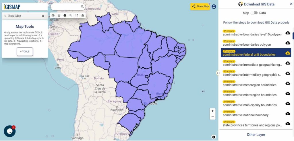
Download Brazil Federal Units Boundaries Shapefile
Download Brazil Municipalities Shapefile Data
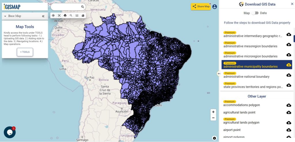
Download Brazil Municipalities Boundaries Shapefile
Other Administrative Shapefile Data:
- Download Brazil Mesoregions Boundaries Shapefile
- Download Brazil Microregions Boundaries Shapefile
- Download Brazil Intermediary Geographic Regions Boundaries Shapefile
- Download Brazil Immediate Geographic Regions Boundaries Shapefile
Other GIS Data:
- Download Brazil Highway Lines Shapefile
- Download Brazil Railway Lines Shapefile
- Download Brazil Airport Locations Shapefile
- Download Brazil Ferry Terminal Locations Shapefile
Please note that the Brazil data provided here is license under Open Data Commons Open Database License (ODbL). Please review the same before using it. If you want data under different license you can also look over to the post : Download Free Shapefile Maps – Country Boundary Polygon, Rail-Road, Water polyline etc
Download Free Shapefile for the following:
- World Countries Shapefile
- Australia
- Argentina
- Austria
- Belgium
- Brazil
- Canada
- Denmark
- Fiji
- Finland
- Germany
- Greece
- India
- Indonesia
- Ireland
- Italy
- Japan
- Kenya
- Lebanon
- Madagascar
- Malaysia
- Mexico
- Mongolia
- Netherlands
- New Zealand
- Nigeria
- Papua New Guinea
- Philippines
- Poland
- Russia
- Singapore
- South Africa
- South Korea
- Spain
- Switzerland
- Tunisia
- United Kingdom Shapefile
- United States of America
- Vietnam
- Croatia
- Chile
- Norway
Disclaimer : If you find any shapefile data of country provided is in correct do contact us or comment below, so that we will correct the same in our system.
You might be interested in QGIS 3.2.1 for beginners
One thought on “Download Brazil Administrative Boundary Shapefiles – Regions, Federal Units, Municipalities and more”