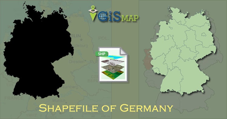
Hello GIS enthusiasts, IGISMAP has now published the latest GIS vector data of Germany administrative levels. Links for downloading the shapefiles of the important administrative divisions of Germany are provided in the following. You can also download these data in KML, GeoJSON or CSV formats.
Note:
- All data available are in GCS datum EPSG:4326 WGS84 CRS (Coordinate Reference System).
- You need to login for downloading the shapefile.
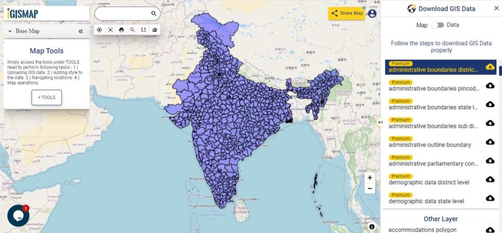
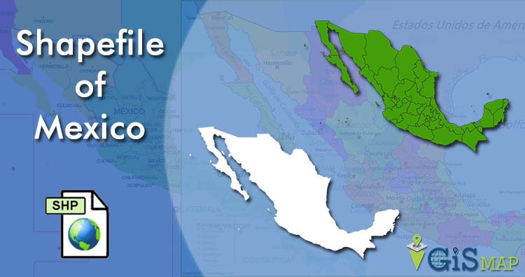
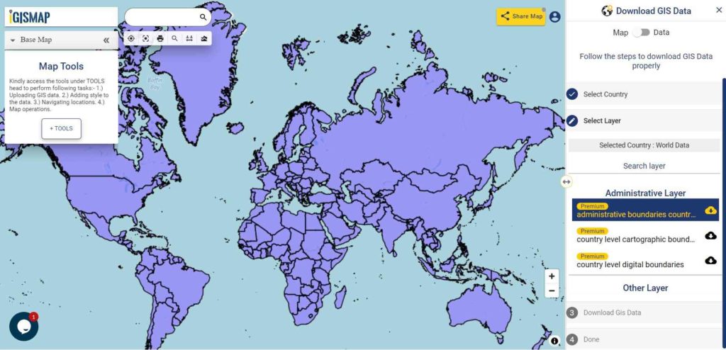
Download Free Shapefile Data of Germany
Germany officially known as the Federal Republic of Germany, is a country in Central Europe. It is the second-most populous country in Europe after Russia, and the most populous member state of the European Union. Germany is the seventh largest country in Europe that borders Denmark to the north, Poland and the Czech Republic to the east, Austria and Switzerland to the south, and France, Luxembourg, Belgium, and the Netherlands to the west. The nation’s capital and largest city is Berlin.
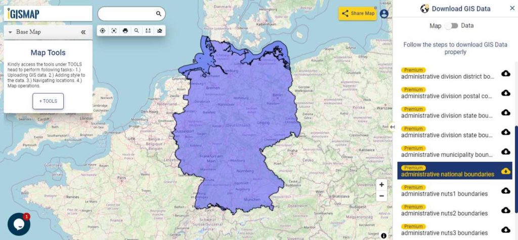
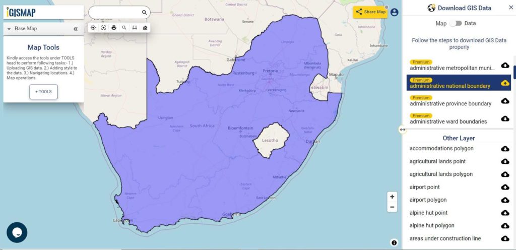
Download Germany National Boundary shapefile
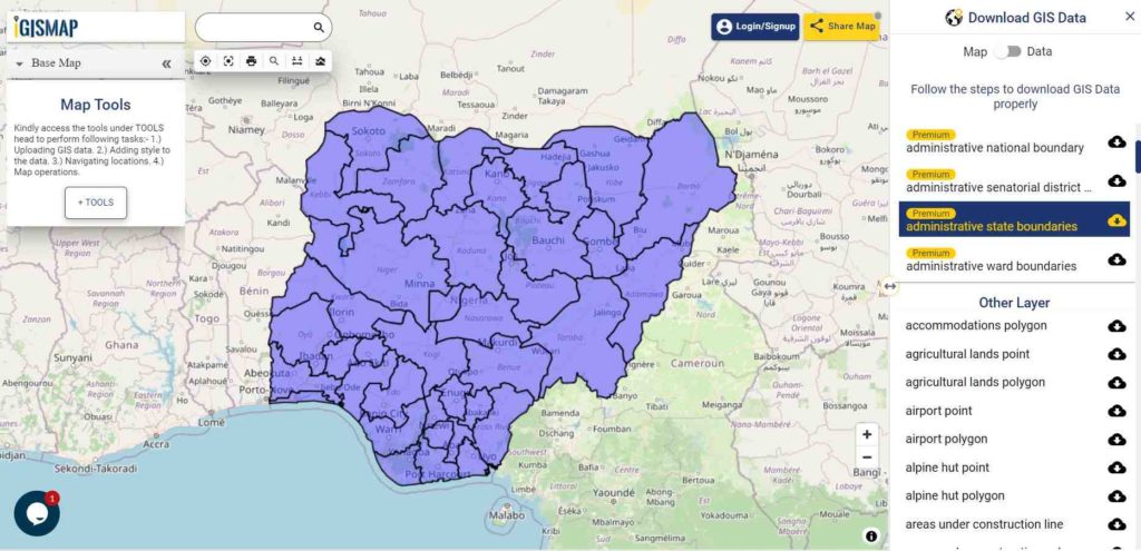
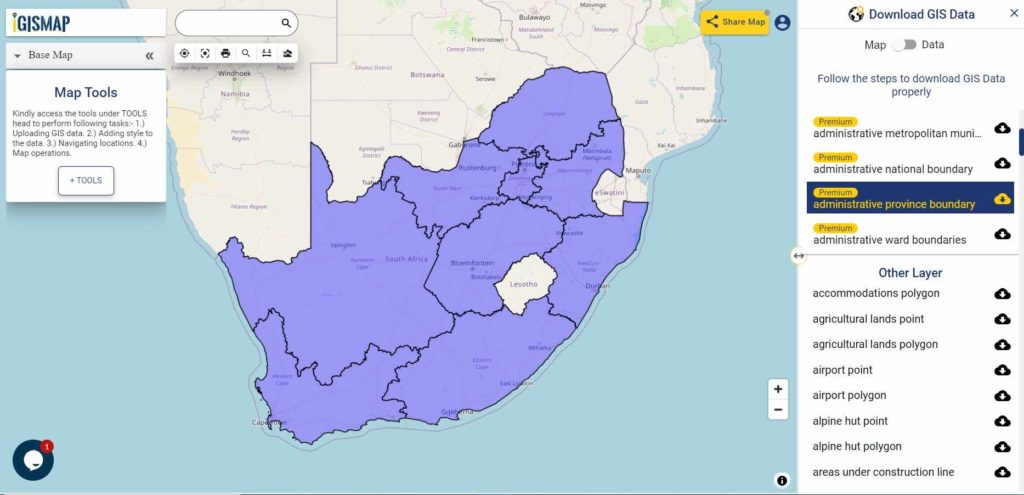
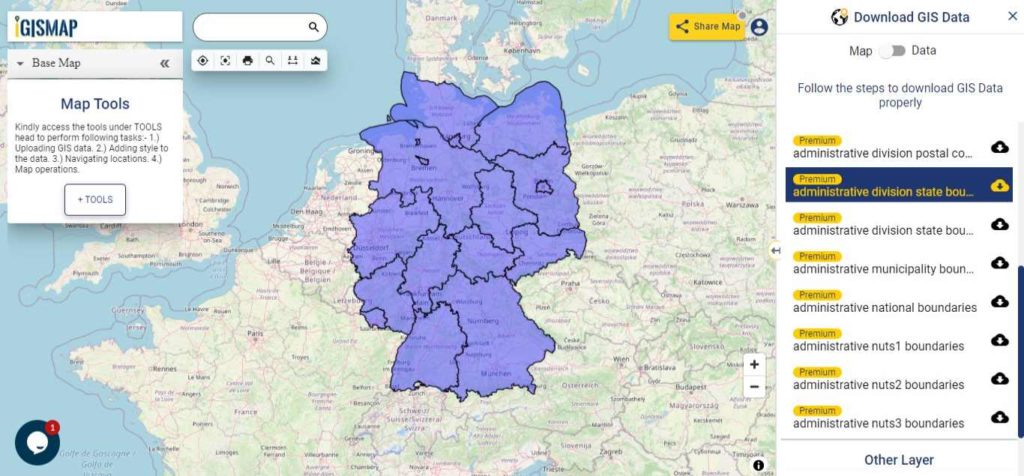
Download Germany States Shapefile Data
Germany comprises of sixteen states. This shapefile covers following states:
- Baden
- Bavaria
- Bremen
- Hamburg
- Hesse
- Berlin
- Brandenburg
- Lower Saxony
- Mecklenburg-Western Pomerania
- North Rhine- Westphalia
- Rhineland – Palatinate
- Thuringia
- Schleswig – Holstein
- Saarland
- Saxony – Anhalt
- Saxony
Download Germany State Boundaries Shapefile
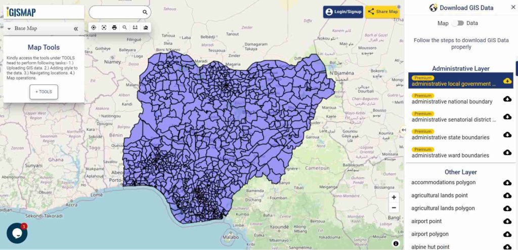
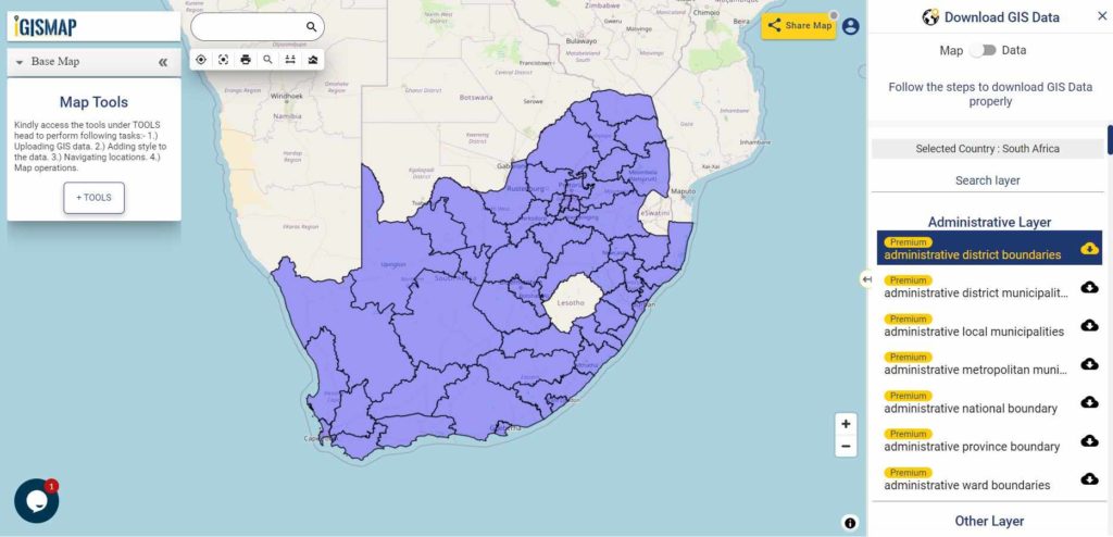
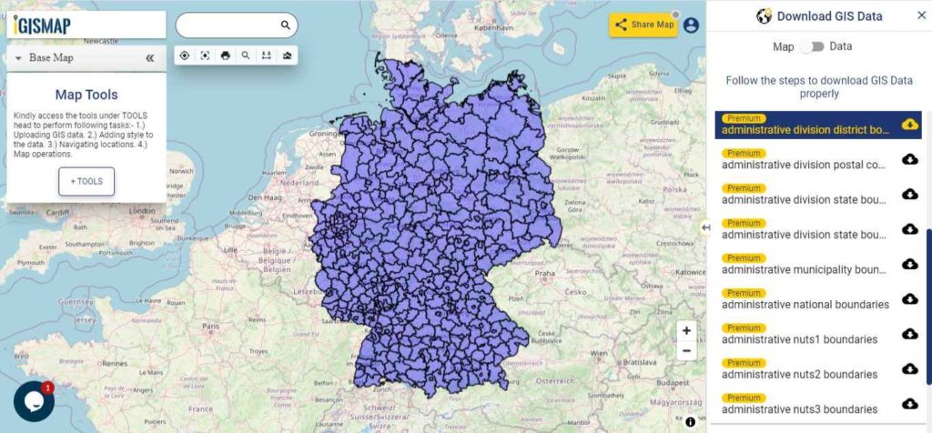
Download Germany Districts Shapefile Data
Germany is divided into 401 districts comprising of 294 rural districts and 107 urban districts.
Download Germany District Boundaries Shapefile
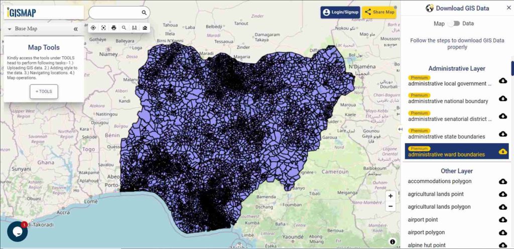
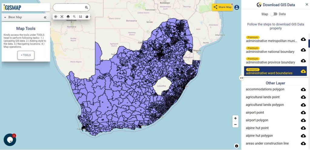
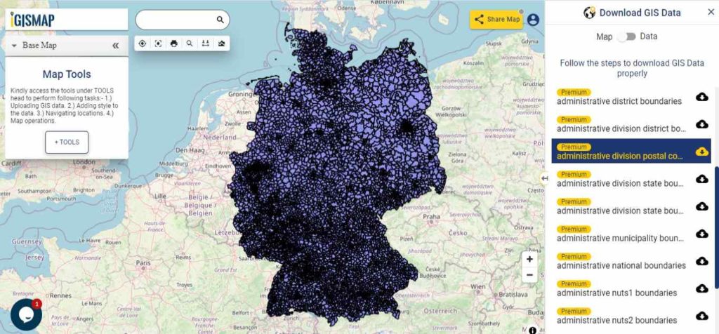
Download Germany Post Code Boundaries Shapefile Data
Germany has total of 8725 postal code based boundaries as provided in the following dataset
Download Germany Postal Code Boundaries Shapefile
Other Administrative Boundary Data:
- Download Germany Administrative Districts Boundaries Shapefile
- Download Germany Associations Boundaries Shapefile
- Download Germany Municipalities Boundaries Shapefile
- Download Germany NUTS 1 Boundaries Shapefile
- Download Germany NUTS 2 Boundaries Shapefile
- Download Germany NUTS 3 Boundaries Shapefile
Convert Germany Shapefile to KML
You can convert downloaded Germany SHP to KML by MAPOG Tool and follow the steps for Conversion of Germany Shapefile to Kml.
Download Free Shapefile for the following:
- World Countries Shapefile
- Australia
- Argentina
- Austria
- Belgium
- Brazil
- Canada
- Denmark
- Fiji
- Finland
- Germany
- Greece
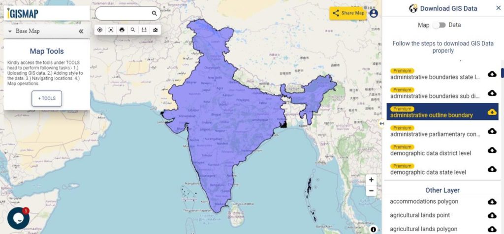
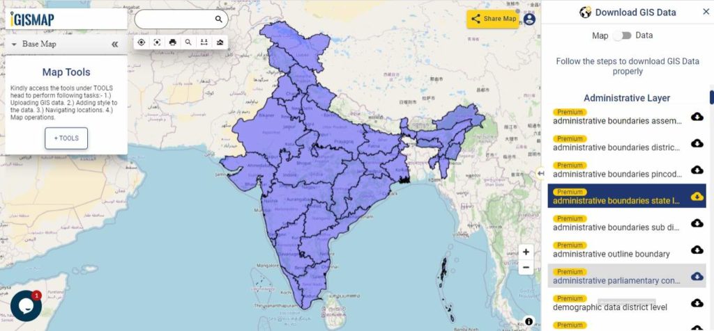
- India
- Indonesia
- Ireland
- Italy
- Japan
- Kenya
- Lebanon
- Madagascar
- Malaysia
- Mexico
- Mongolia
- Netherlands
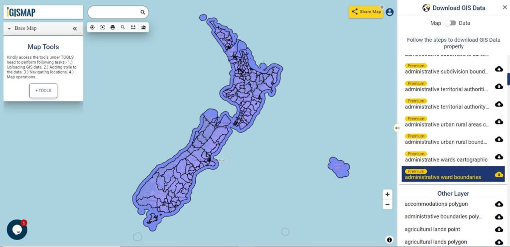
- New Zealand
- Nigeria
- Papua New Guinea
- Philippines
- Poland
- Russia
- Singapore
- South Africa
- South Korea
- Spain
- Switzerland
- Tunisia
- United Kingdom Shapefile
- United States of America
- Vietnam
- Croatia
- Chile
- Norway
Please note that the Germany data provided here is license under Open Data Commons Open Database License (ODBL) and Data license Germany – Attribution – Version 2.0. Please review the same before using it. If you want data under different license you can also look over to the post : Download Free Shapefile Maps – Country Boundary Polygon, Rail-Road, Water polyline etc
Disclaimer : If you find any shapefile data of country provided is in correct do contact us or comment below, so that we will correct the same in our system as well we will try to correct the same in OpenStreetMap.