Hello GIS enthusiasts, IGISMAP has now published the latest GIS vector data of Austria administrative levels. Links for downloading the shapefiles of the important administrative divisions of Austria are provided in the following. You can also download these data in KML, GeoJSON or CSV formats.
Note:
- All data available are in GCS datum EPSG:4326 WGS84 CRS (Coordinate Reference System).
- You need to login for downloading the shapefile.
Download Free Shapefile Data of Austria
Austria officially the Republic of Austria, is a country in the southern part of Central Europe. It is a federation of nine states, one of which is the capital Vienna, the largest city and state by population. The country is bordered by Germany to the northwest, the Czech Republic to the north, Slovakia to the northeast, Hungary to the east, Slovenia and Italy to the south, and Switzerland and Liechtenstein to the west. It occupies a landlocked area of 83,879 km2 (32,386 sq mi) and has a population of 9 million people.
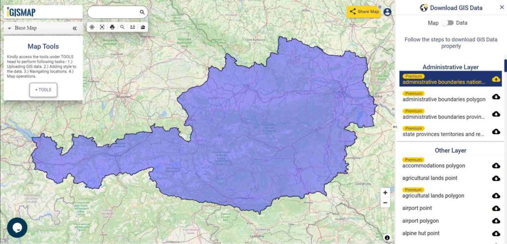
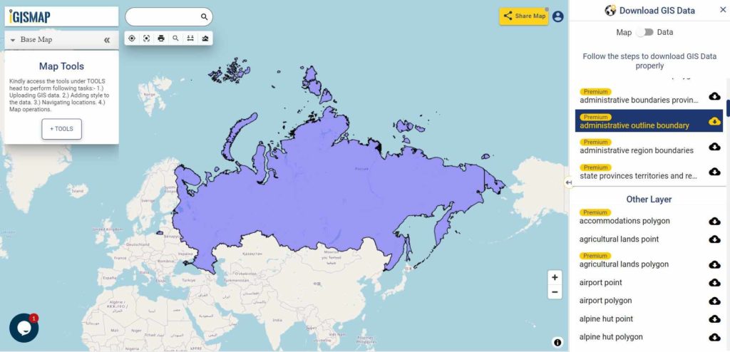
Download Austria National Outline Boundary Shapefile
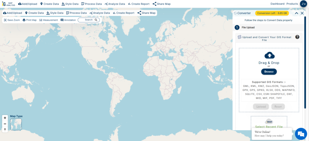
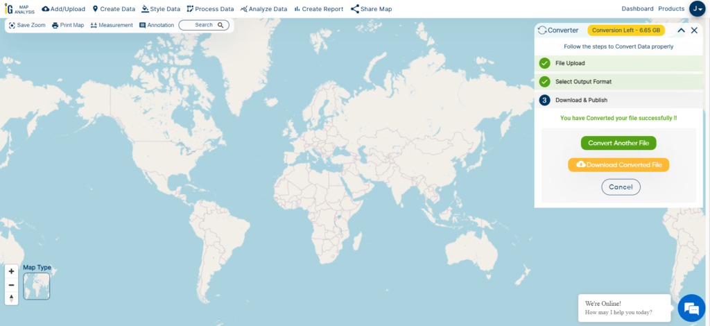
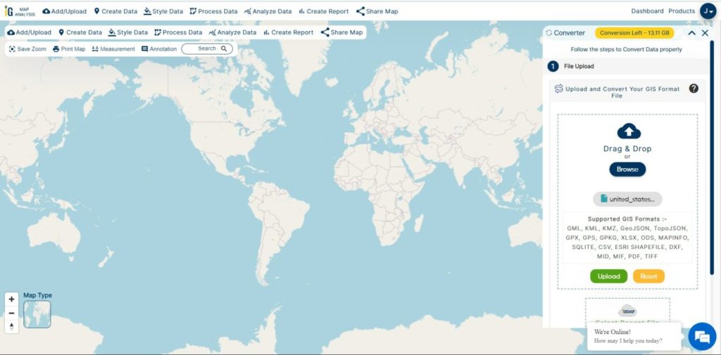
If you are looking for any other GIS formats then use GIS File Converter.
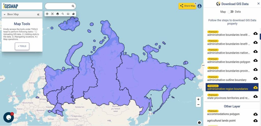
Download Austria States Shapefile Data
Austria is a federal republic made up of nine states
Burgenland – Burgenland
Kärnten – Carinthia
Niederösterreich – Lower Austria
Oberösterreich – Upper Austria
Salzburg – Salzburg
Steiermark – Styria
Tirol – Tyrol
Vorarlberg – Vorarlberg
Wien – Vienna
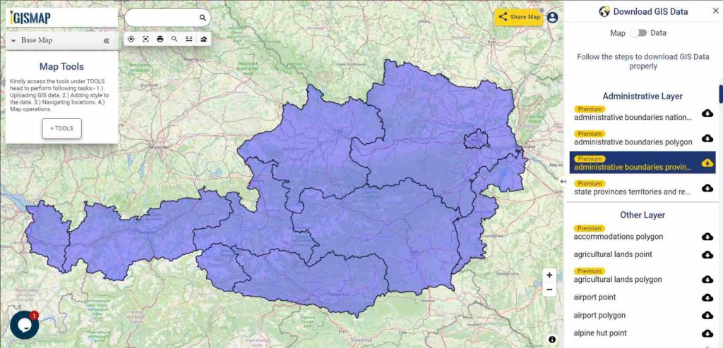
Download Austria State Boundaries Shapefile
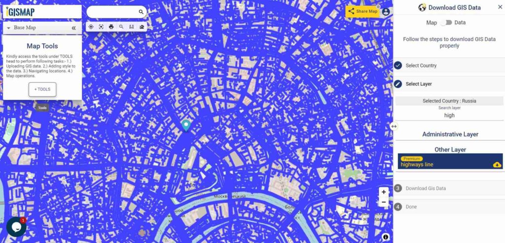
Highway Line GIS Data of Austria
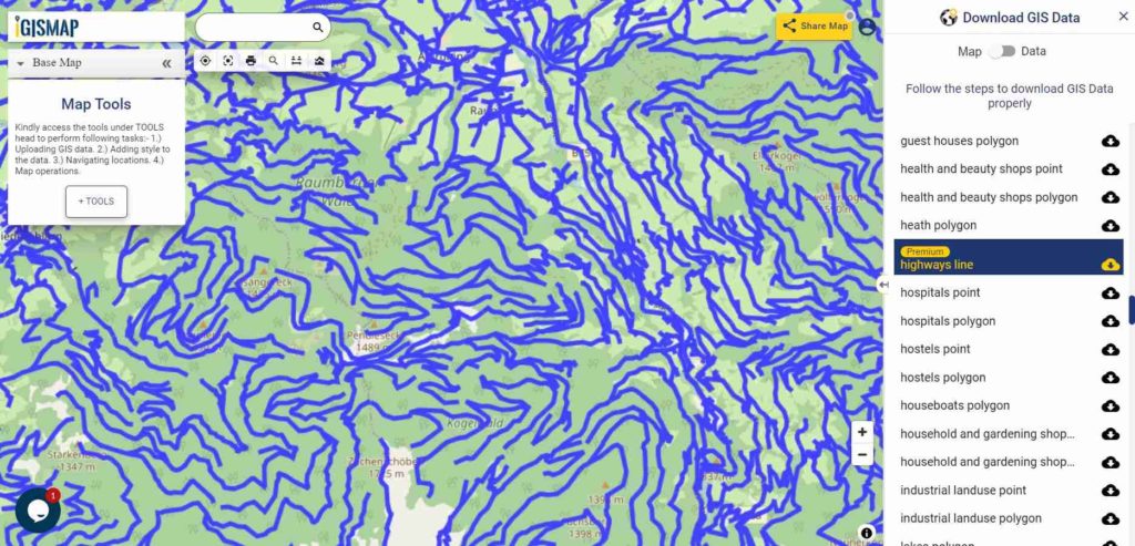
Download Austria Highway Lines Shapefile
In the above map, zoom in view of highway line map is shown. Similarly, you can easily download point based GIS data of airport locations, ATM locations, parking locations, hospital location, etc.
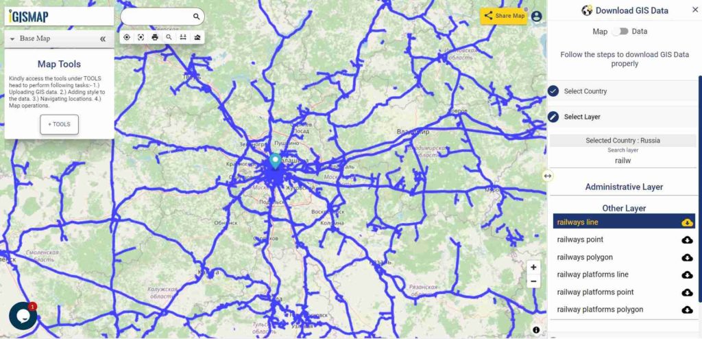
Railways Line GIS Data of Austria
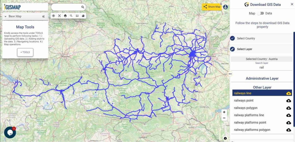
Download Austria Railway Lines Shapefile
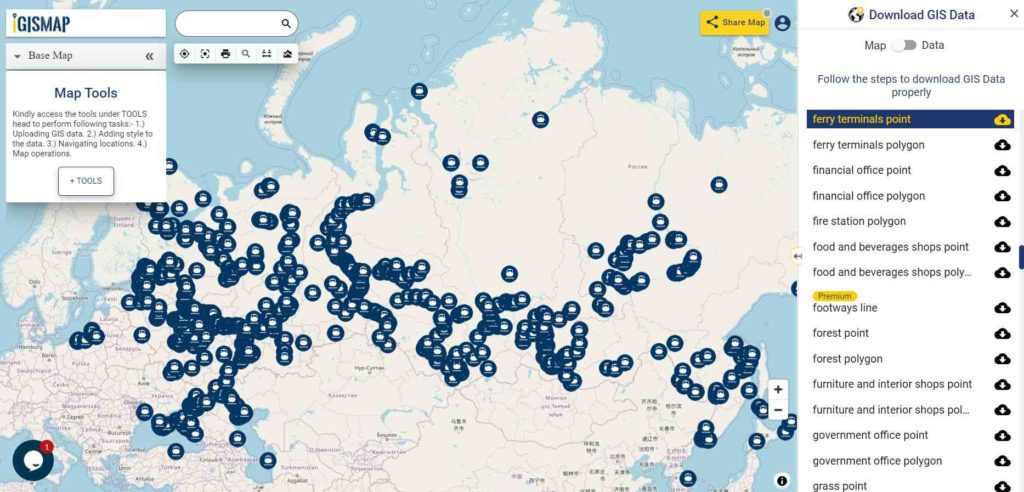
Download Ferry Point Shapefile of Austria
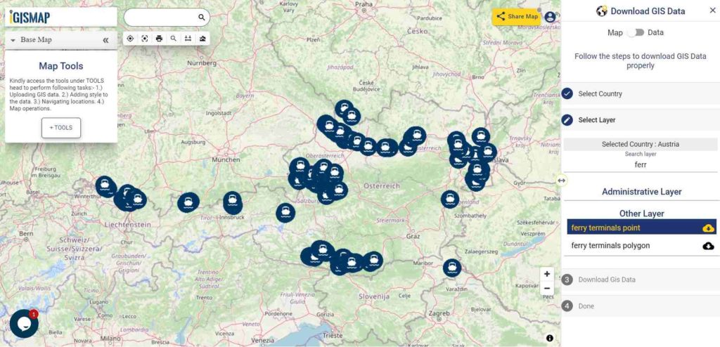
Download Austria Ferry Points Shapefile
You can view and download the ferry points of Austria from above link.
Download Austria Airport/Aerodrome Point Shapefile
Airport location points of the following airports are available:
- Flugfeld Mariazell
- Flugplatz Lanzen-Turnau
- Zivilflugplatz Micheldorf
- Flugplatz Schärding-Suben
- Wiener Neustadt West Airport
- Flugplatz Nötsch
- Flugplatz Kufstein-Langkampfen
- Flugplatz Sankt Donat Mairist
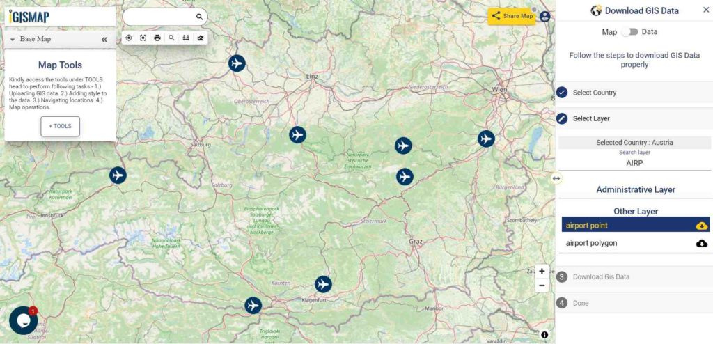
Download Austria Airport Points Shapefile
For more GIS data visit – MAPOG GIS Data
For more specific data contact us at support@igismap.com
Download Free Shapefile for the following:
- World Countries Shapefile
- Australia
- Argentina
- Austria
- Belgium
- Brazil
- Canada
- Denmark
- Fiji
- Finland
- Germany
- Greece
- India
- Indonesia
- Ireland
- Italy
- Japan
- Kenya
- Lebanon
- Madagascar
- Malaysia
- Mexico
- Mongolia
- Netherlands
- New Zealand
- Nigeria
- Papua New Guinea
- Philippines
- Poland
- Russia
- Singapore
- South Africa
- South Korea
- Spain
- Switzerland
- Tunisia
- United Kingdom Shapefile
- United States of America
- Vietnam
- Croatia
- Chile
- Norway
Disclaimer : If you find any shapefile data of country provided is in correct do contact us or comment below, so that we will correct the same in our system as well we will try to correct the same in OSM.