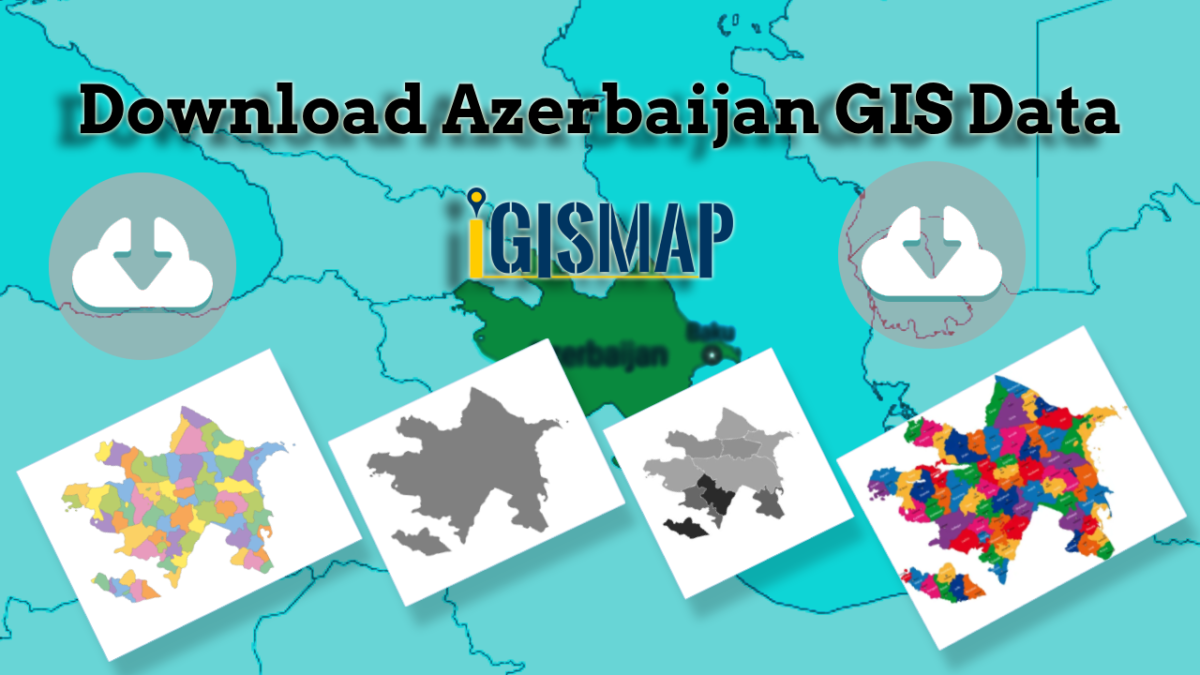
Searching for accurate and up-to-date GIS data for your chosen country? Look no further than MAPOG! We offer an extensive GIS Data Collection covering 150+ countries, with over 150 datasets available for each nation. Our data is known for its exceptional accuracy, particularly in representing administrative divisions. Explore a wide range of geographic features such as rivers, roads, railway lines, airport locations, and more, meticulously represented in appropriate geometric structures (points, lines, and polygons). Accessing this valuable data is easy with our two essential tools – Download GIS Data and Add GIS Data, designed to simplify your data acquisition process. Choose from ESRI Shapefile, KML, GeoJSON, or CSV formats to download the data from Download GIS Data tool.
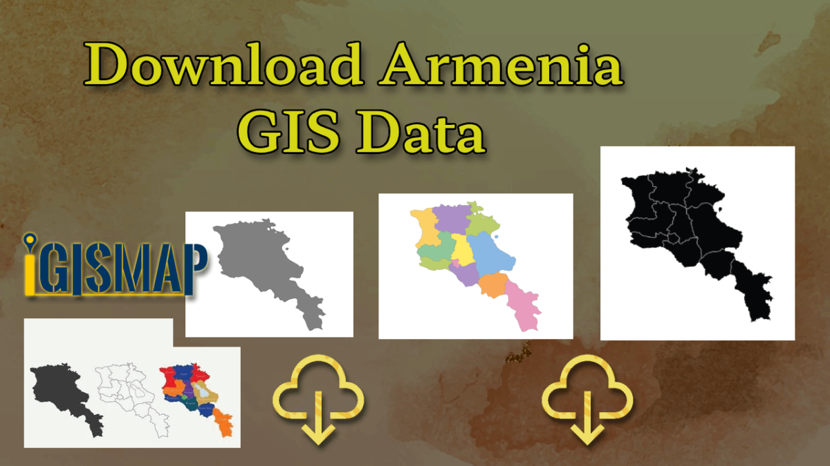
In this article, we’ll focus on the administrative level GIS data of Armenia and walk you through how to download it using the Download GIS Data tool. MAPOG ensures a user-friendly experience, making GIS data acquisition a breeze. Don’t miss the chance to enhance your geospatial projects with MAPOG‘s accurate and reliable GIS data solutions!
Check the article Add GIS data from MAPOG GIS data collection for understanding more about Add GIS Data tool.
Note:
- All data available are in GCS datum EPSG:4326 WGS84 CRS (Coordinate Reference System).
- You need to login for downloading the shapefile.
Download Shapefile Data of Armenia
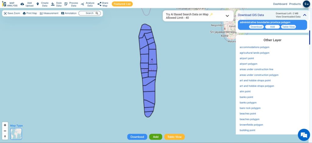
Armenia, a landlocked country in the Armenian Highlands of West Asia, shares borders with Turkey, Georgia, Azerbaijan, Iran, and the Azerbaijani exclave of Nakhchivan. Due to its connections with Europe, Armenia is considered part of the Caucasus region. Yerevan, the capital and largest city, serves as the country’s financial center. Administratively, Armenia is divided into 11 regions known as Marzes, which include Yerevan. Municipalities within each Marz oversee the governance of cities, towns, and villages. At a smaller scale, communities called Hamaynkner have their own local governments led by mayors or village heads. This well-structured administrative system ensures effective governance and service delivery throughout the nation.
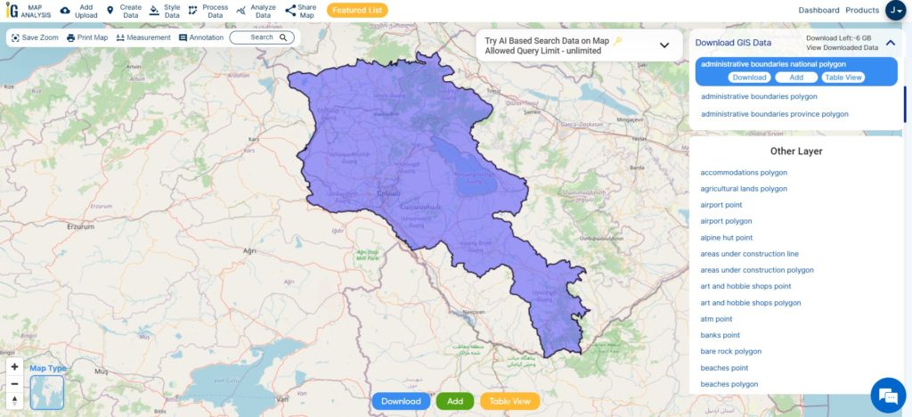
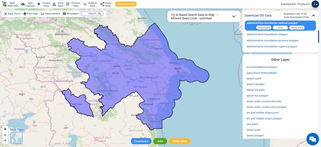
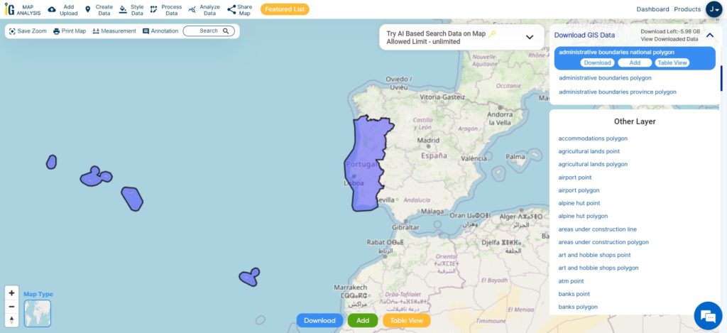
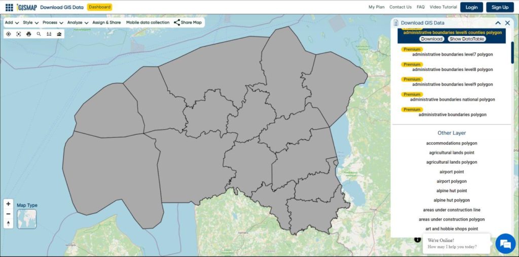
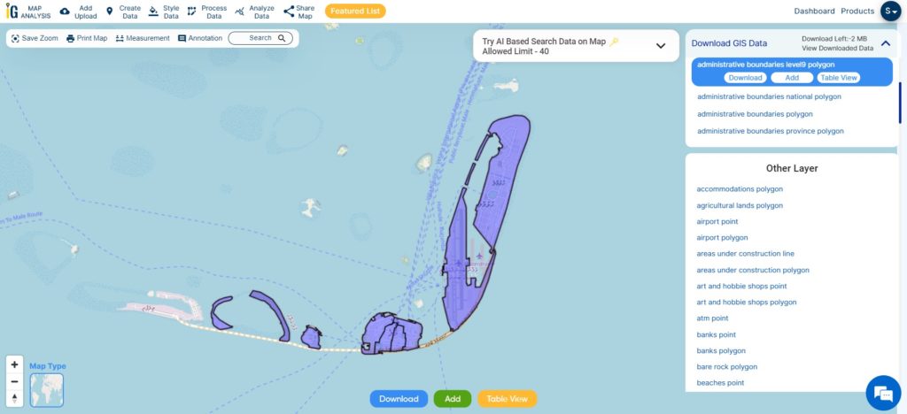
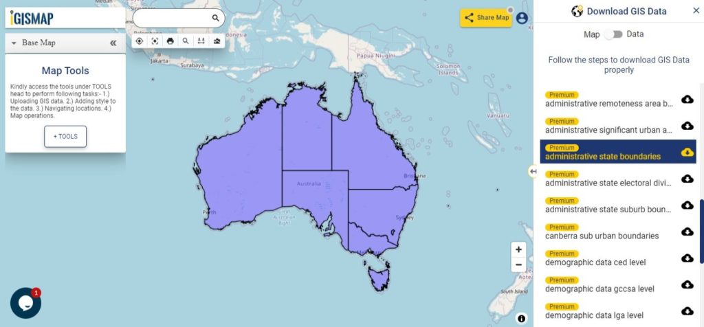
Download Armenia National Boundary Shapefile
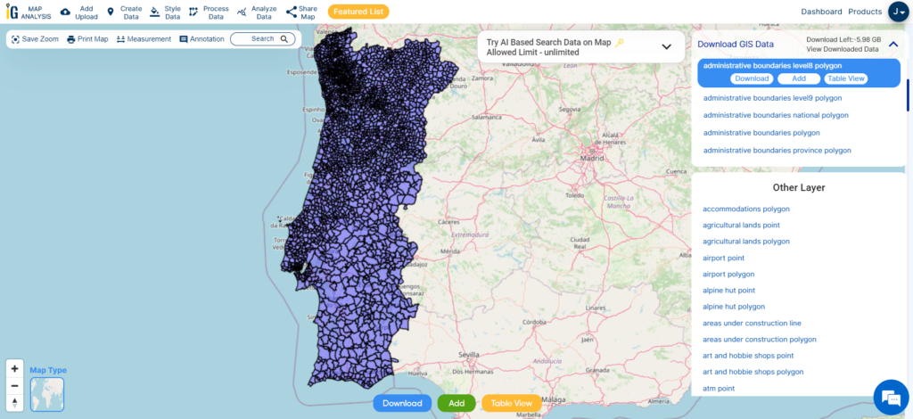
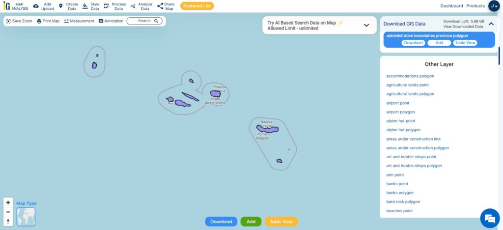
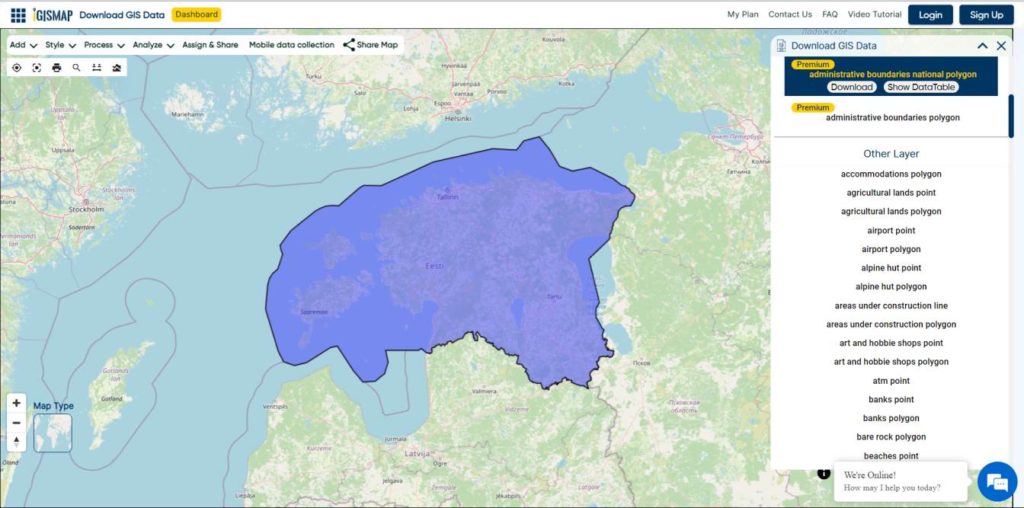
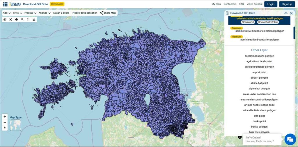
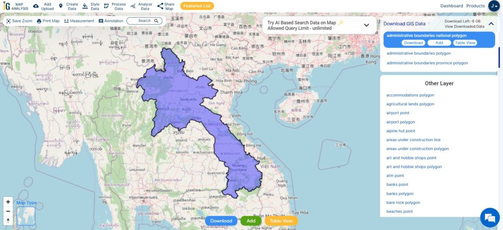
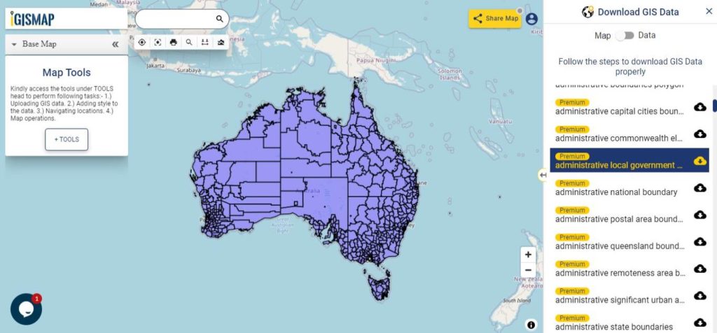
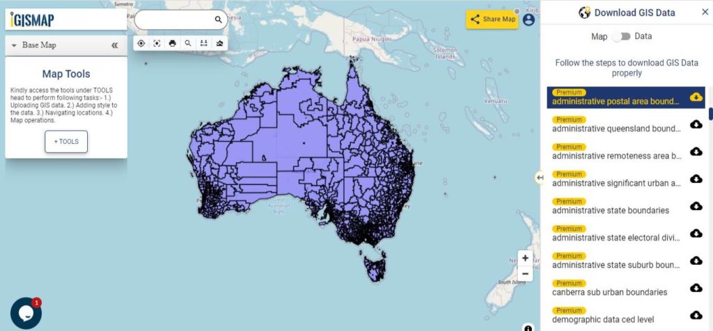
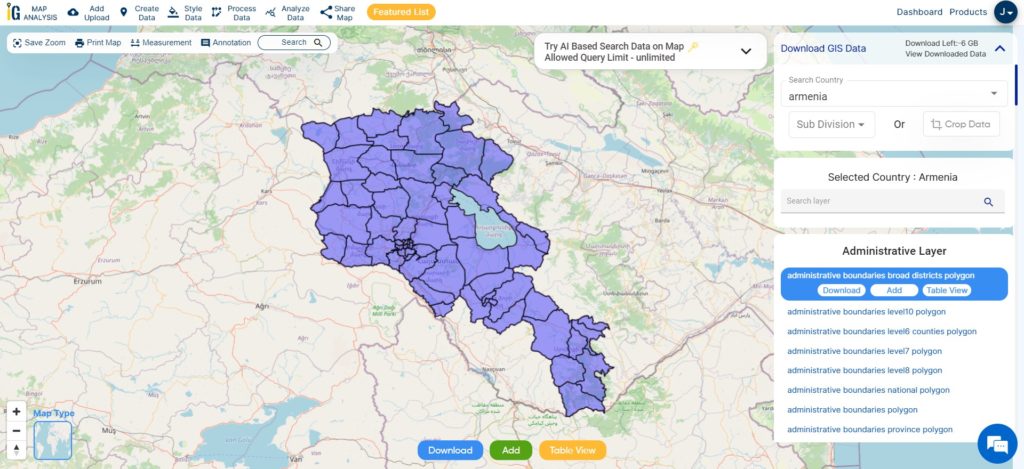
Once you have successfully logged in with your verified email ID, select Armenia as your desired country. Proceed by choosing the specific layer and format for the GIS data you require. Before initiating the download Armenia administrative boundaries GIS data, you have the option to review the data table for additional details. Finally, click on the download button to start downloading the data and seize the opportunity to enhance your mapping endeavors.
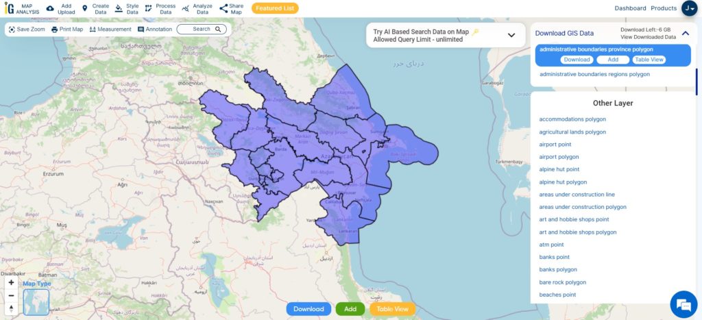
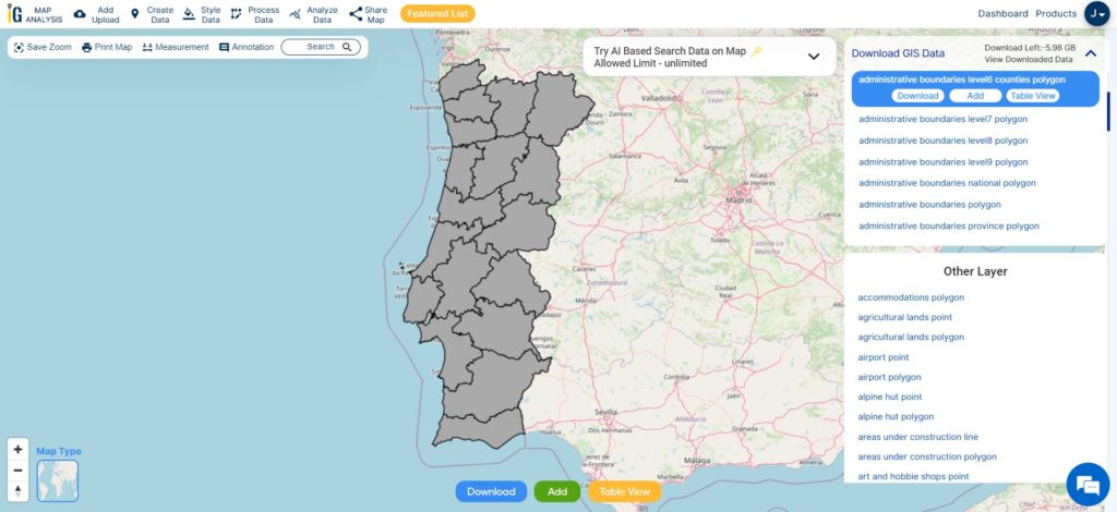
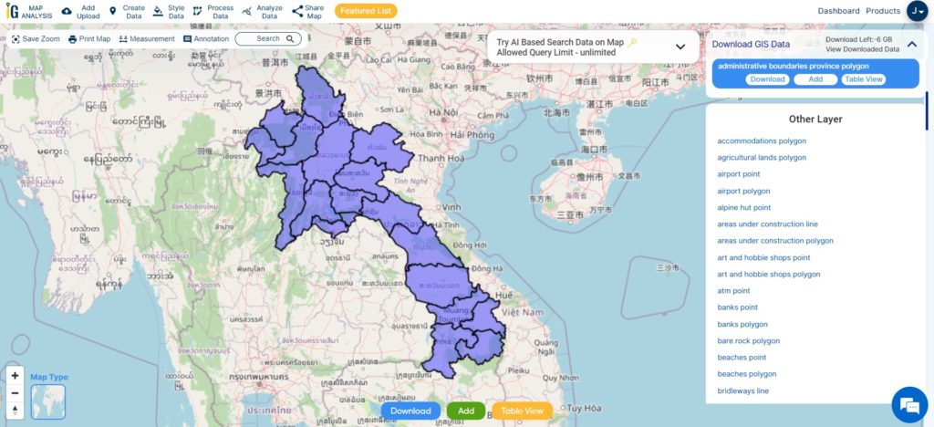
Download Armenia Provinces Shapefile Data
In Armenia, there are eleven administrative divisions, consisting of ten provinces referred to as “marzer” or “marz” in Armenian. The provinces have the crucial responsibility of local governance and are under the leadership of a chief executive known as the “marzpet.” The government of Armenia appoints the marzpets to their respective provinces. It’s important to note that Yerevan, the capital, has a distinct status and operates with its own separate administrative structure. Unlike the other provinces, it is not affiliated with any specific province and maintains its own governance system.
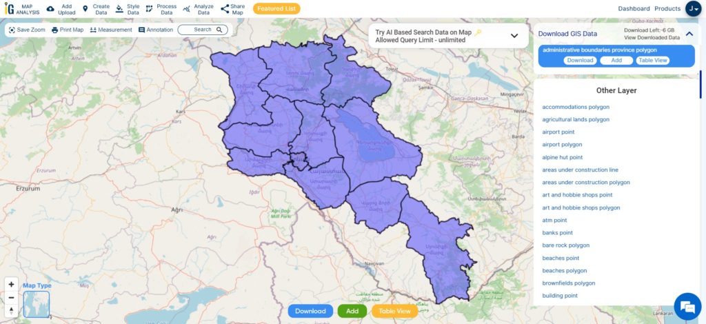
Download Armenia Province Boundary Shapefile
This shapefile covers following Provinces of armenia listed below:
- Aragatsotn
- Ararat
- Armavir
- Gegharkunik
- Kotayk
- Lori
- Shirak
- Syunik
- Tavush
- Vayots Dzor
- Yerevan (capital city, also considered a province)
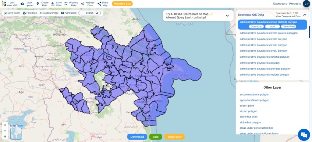
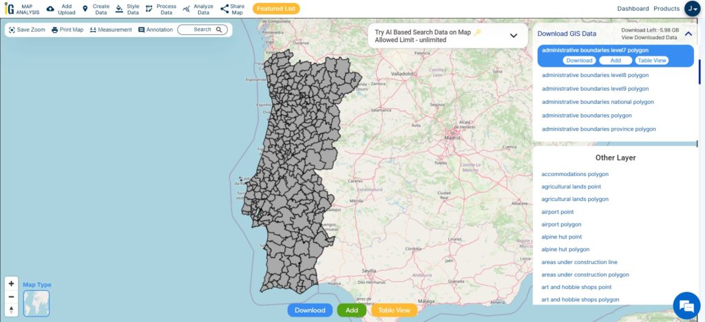
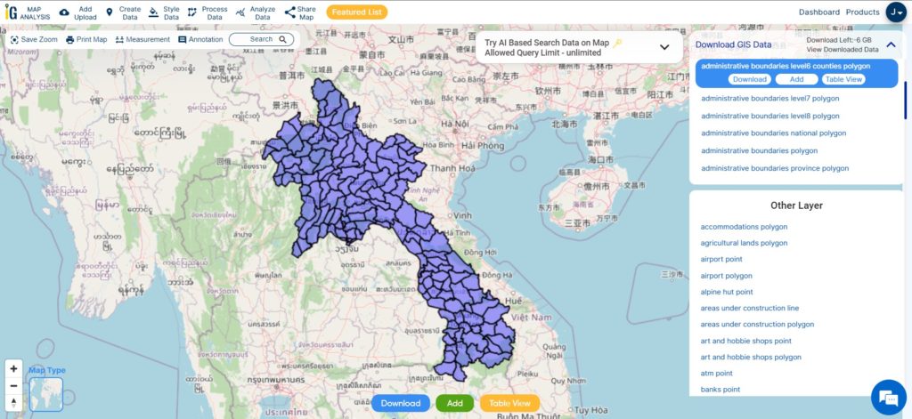
Download Armenia Municipality, Towns and villages Shapefile Data
Municipalities, towns, and villages form an integral part of the administrative structure in Armenia, playing crucial roles in local governance and community development. Municipalities are responsible for the governance and management of specific areas, such as cities or towns.
Towns, as urban areas with larger populations and more developed infrastructure, have their own local governments. Villages, on the other hand, represent rural settlements with smaller populations and less developed infrastructure.
Download Armenia Municipality Towns And Villages Boundary Shapefile
Other Administrative Boundary Data:
Other GIS Data:
- Download Armenia Airport Point Shapefile
- Download Armenia Railway Lines Shapefile
- Download Armenia Road Shapefile
Download Shapefile for the following:
- World Countries Shapefile
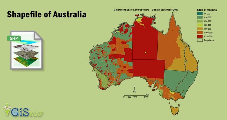
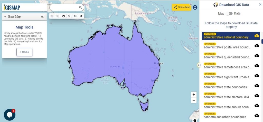
- Australia
- Argentina
- Austria
- Belgium
- Brazil
- Canada
- Denmark
- Fiji
- Finland
- Germany
- Greece
- India
- Indonesia
- Ireland
- Italy
- Japan
- Kenya
- Lebanon
- Madagascar
- Malaysia
- Mexico
- Mongolia
- Netherlands
- New Zealand
- Nigeria
- Papua New Guinea
- Philippines
- Poland
- Russia
- Singapore
- South Africa
- South Korea
- Spain
- Switzerland
- Tunisia
- United Kingdom Shapefile
- United States of America
- Vietnam
- Croatia
- Chile
- Norway
- Maldives
- Bhutan
- Colombia
- Libya
- Comoros
- Hungary
- Laos
- Estonia
- Iraq
- Portugal
- Azerbaijan
- Macedonia
- Romania
- Peru
- Marshall Islands
- Slovenia
- Nauru
- Guatemala
- El Salvador
- Afghanistan
- Cyprus
- Syria
Disclaimer : If you find any shapefile data of country provided is incorrect do contact us or comment below, so that we will correct the same in our system as well we will try to correct the same in openstreetmap.