Download Tonga Administrative Boundary GIS Data – National , Provinces and Districts and more
download-tonga-administrative-boundary-gis-data-national-provinces-and-districts-and-more
download-tonga-administrative-boundary-gis-data-national-provinces-and-districts-and-more
Step into the world of mapping possibilities! IGISMAP offers an exclusive chance: download Equatorial Guinea’s administrative boundary GIS data, covering national, regions, provinces, and more.
download-mauritius-administrative-boundary-shapefiles-national-districts-villages-and-more
Uncover the mysteries of Ile de Clipperton with IGISMAP! Now available for download is the administrative boundary GIS data, including national boundaries, atolls, and more. Dive into these comprehensive datasets to enrich your exploration and mapping endeavors. Don’t miss out on this unique opportunity to access valuable geospatial information for Ile de Clipperton!
download-palau-administrative-boundary-gis-data-national-regions-and-more
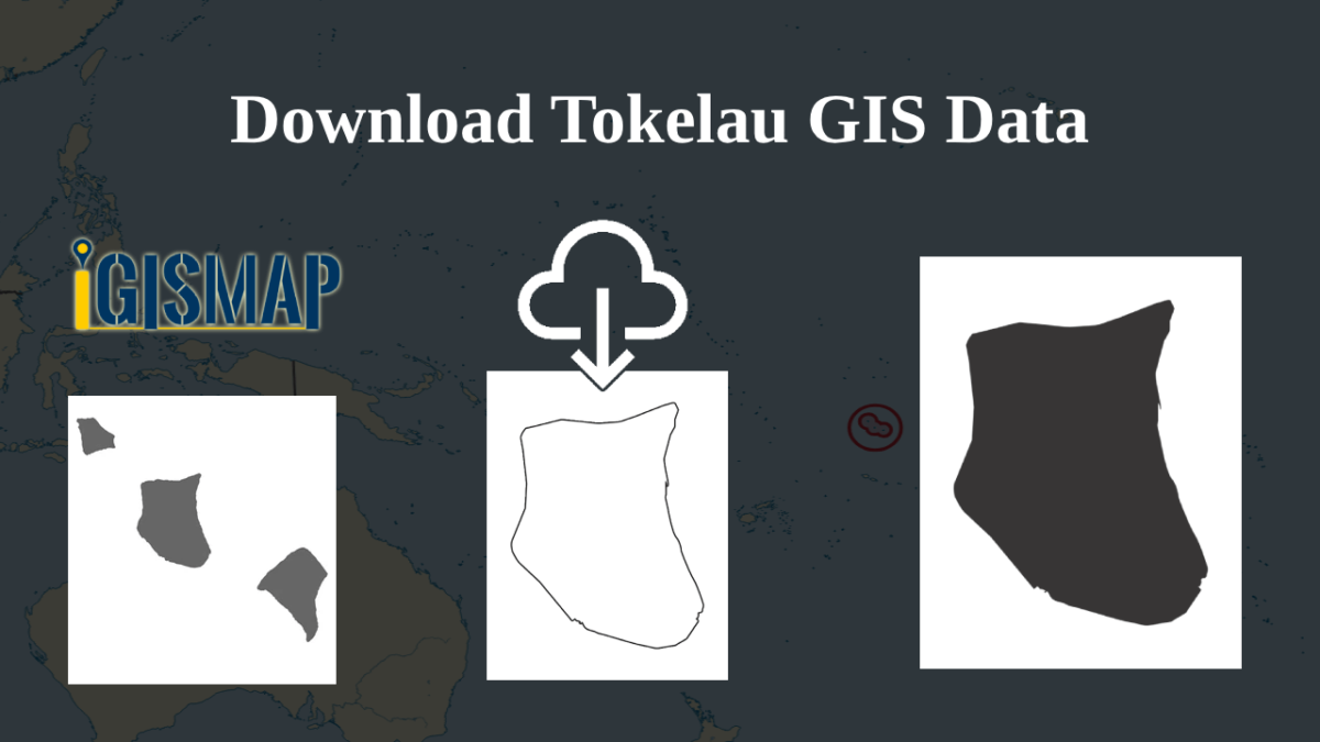
download-tokelau-administrative-boundary-shapefiles-national-atolls-and-more
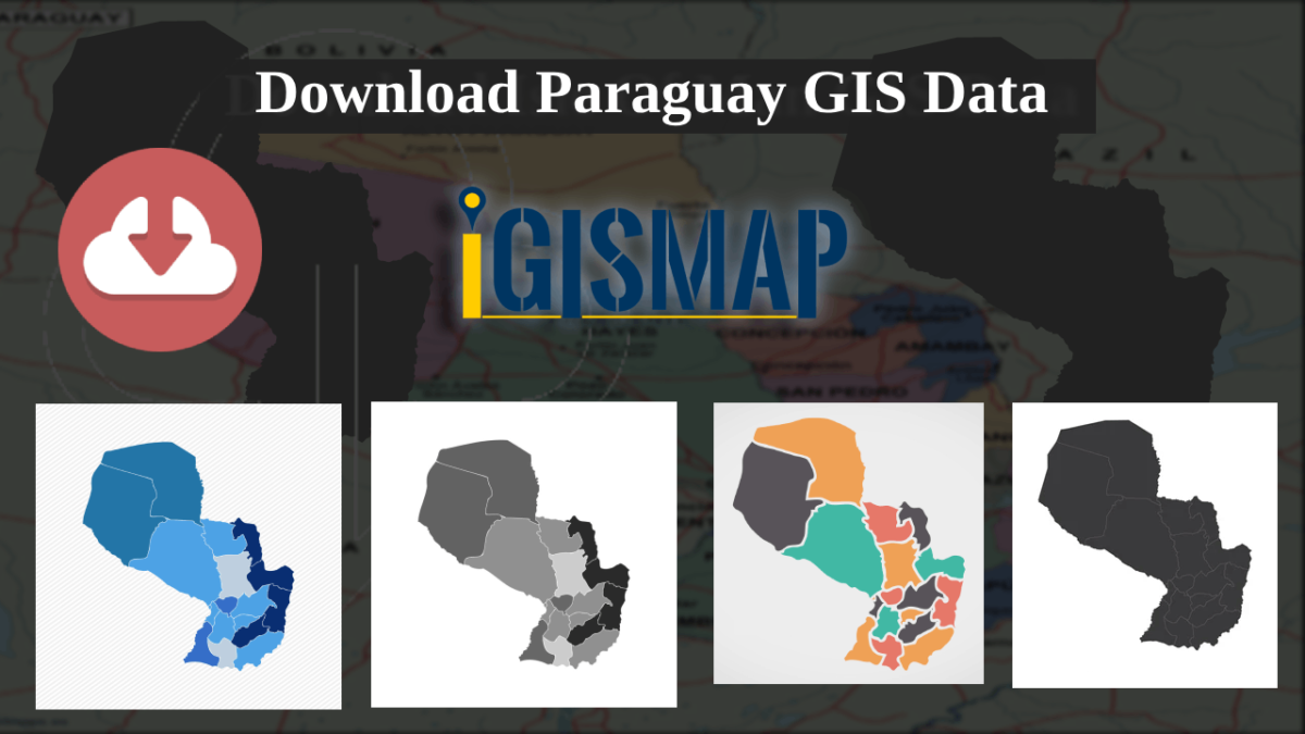
download-paraguay-administrative–province-departments-and-more
administrative boundary GIS data for the Isle of Man, covering districts, parishes, and more.
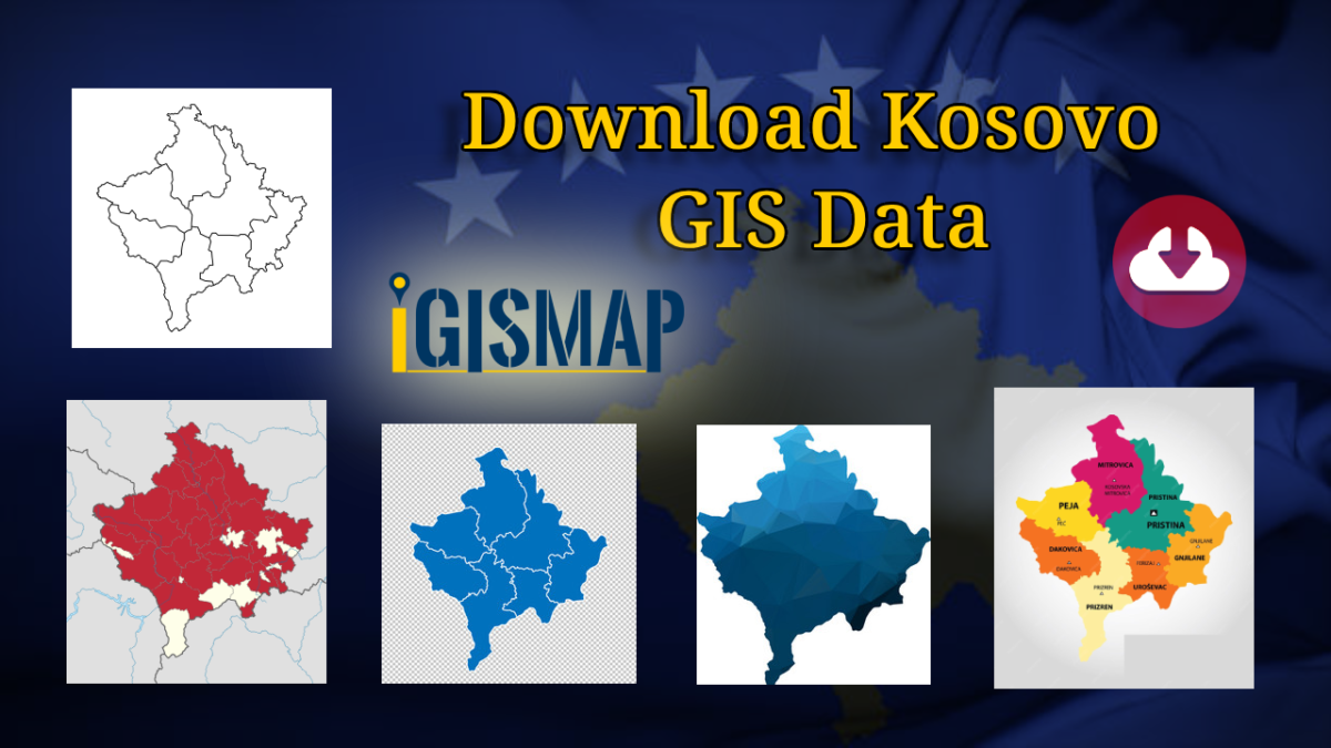
Here at MAPOG! You now have the chance to download administrative boundary GIS data for Kosovo, covering national boundaries, municipalities, and more.
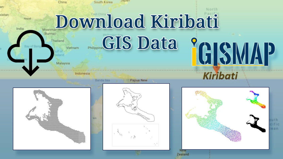
Dive into the world of GIS mapping with MAPOG! You can now download administrative boundary GIS data for Kiribati, including national boundaries, islands, atolls, and more.