Download Mauritius Administrative Boundary Shapefiles – National , Districts , Villages and More
download-mauritius-administrative-boundary-shapefiles-national-districts-villages-and-more
download-mauritius-administrative-boundary-shapefiles-national-districts-villages-and-more
Uncover the mysteries of Ile de Clipperton with IGISMAP! Now available for download is the administrative boundary GIS data, including national boundaries, atolls, and more. Dive into these comprehensive datasets to enrich your exploration and mapping endeavors. Don’t miss out on this unique opportunity to access valuable geospatial information for Ile de Clipperton!
download-palau-administrative-boundary-gis-data-national-regions-and-more
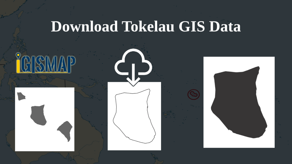
download-tokelau-administrative-boundary-shapefiles-national-atolls-and-more
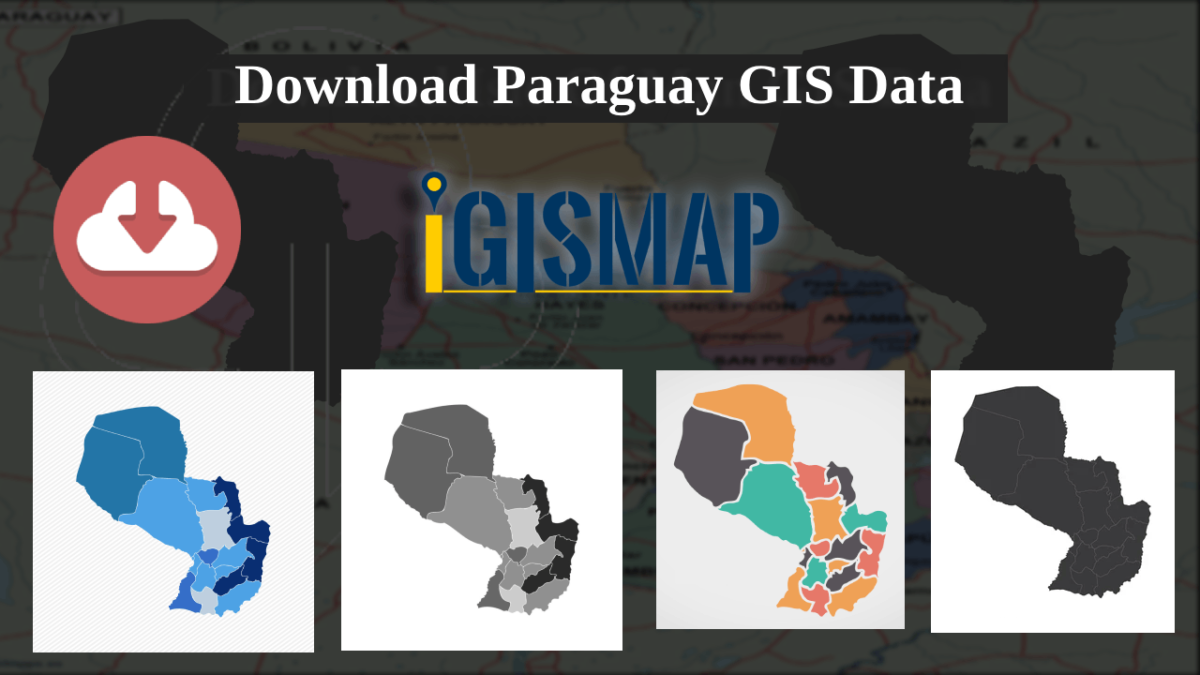
download-paraguay-administrative–province-departments-and-more
administrative boundary GIS data for the Isle of Man, covering districts, parishes, and more.
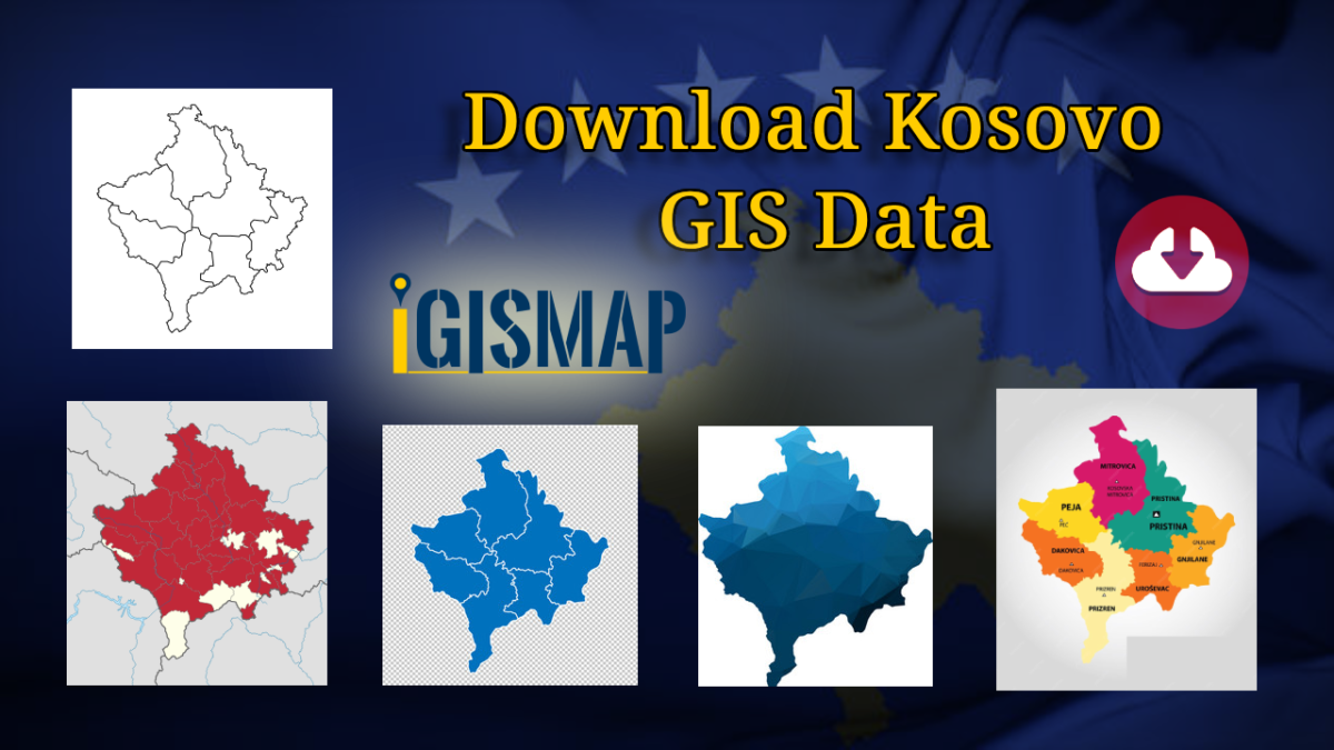
Here at MAPOG! You now have the chance to download administrative boundary GIS data for Kosovo, covering national boundaries, municipalities, and more.
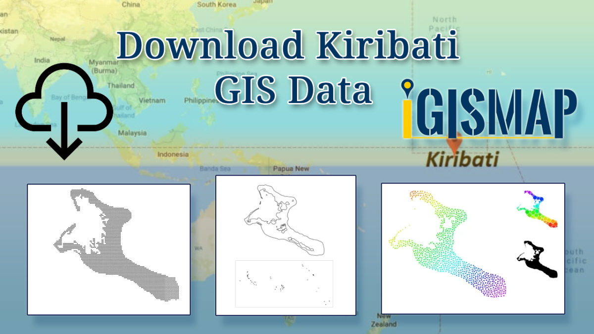
Dive into the world of GIS mapping with MAPOG! You can now download administrative boundary GIS data for Kiribati, including national boundaries, islands, atolls, and more.
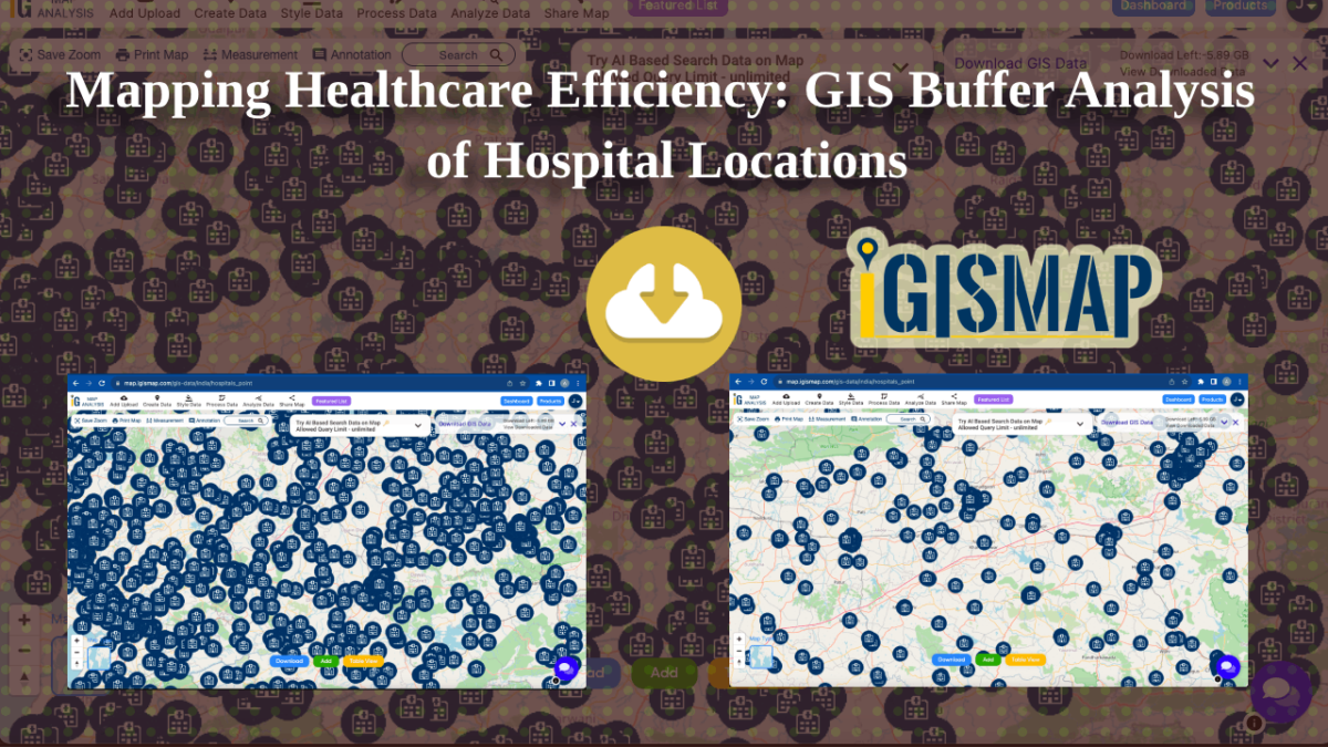
In this article, my primary goal is to show you, from my perspective as a healthcare official, how I effectively use buffer analysis techniques with hospital point data specific to California. Throughout this article, I’ll walk you through the steps within MAPOG‘s GIS Buffer Analysis of hospital locations, a resource I personally consider indispensable in … Continue reading “Mapping Healthcare Efficiency: GIS Buffer Analysis of Hospital Locations”
Explore the world of GIS mapping with MAPOG! We’re delighted to offer you the chance to download administrative boundary GIS data for both Haiti and the Dominican Republic. Dive into datasets that cover national boundaries, provinces, arrondissements, and more.