Geographic Information System is a system intends to capture, Store, manage, manipulate, analyze the data.
 Exploring GIS data for East Timor is a seamless experience with MAPOG. Unlock a diverse collection of over 150 datasets, meticulously detailing administrative boundaries and geographic features such as rivers, roads, and airports. Accessing this wealth of information is made easy through two integrated tools: Download GIS Data and Add GIS Data. For the Download GIS Data tool, choose from formats like Shapefile, KML, GeoJSON, or CSV to effortlessly acquire the data you need. If you’re looking to enhance your understanding of the Add GIS Data tool, refer to our comprehensive guide titled “Incorporating MAPOG GIS Data for East Timor.” This guide walks you through the process of obtaining administrative-level GIS data using the Download GIS Data tool. Let MAPOG be your companion on an enriching geospatial journey through East Timor’s landscapes.
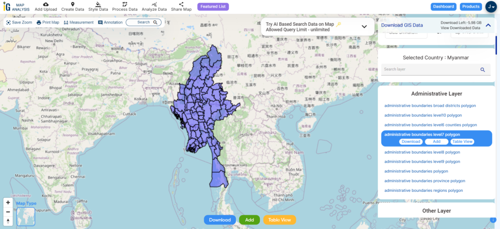
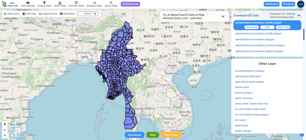
With MAPOG’s versatile toolkit, you can effortlessly upload vector and raster files, add WMS (Web Map Service) layers, upload Excel or CSV data, incorporate existing files, perform polygon splitting and merging, generate new polygon and polyline data, use the converter for various formats, conduct buffer analysis, create grids, transform points into polygons, calculate isochrones, and utilize the geocoder for precise location information.
We offer an extensive array of data formats, including KML, SHP, CSV, GeoJSON, Tab, SQL, Tiff, GML, KMZ, GPKZ, SQLITE, Dxf, MIF, TOPOJSON, XLSX, GPX, ODS, MID, and GPS, ensuring compatibility and accessibility for various applications and analyses.
Note:
- All data available are in GCS datum EPSG:4326 WGS84 CRS (Coordinate Reference System).
- You need to login for downloading the shapefile.
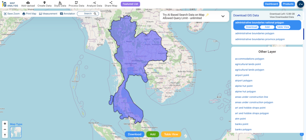
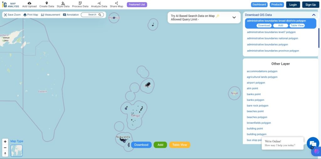
Download Shapefile Data of East Timor
East Timor, also recognized as Timor-Leste, officially referred to as the Democratic Republic of Timor-Leste, is situated in Southeast Asia. It encompasses the eastern portion of the Timor Island, with Indonesia governing the western counterpart and the Oecusse exclave positioned in the island’s northwest. Additionally, the smaller islands of Atauro and Jaco are part of its territory. Sharing a border with the nation’s southern side is Australia, separated by the Timor Sea. The country spans an area of 14,874 square kilometers (5,743 square miles), with its primary hub being the capital city of Dili.

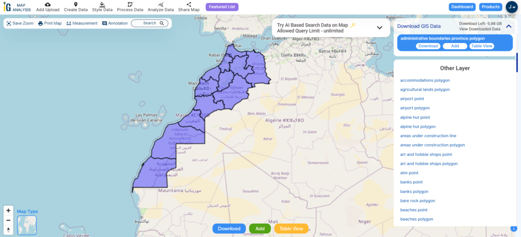
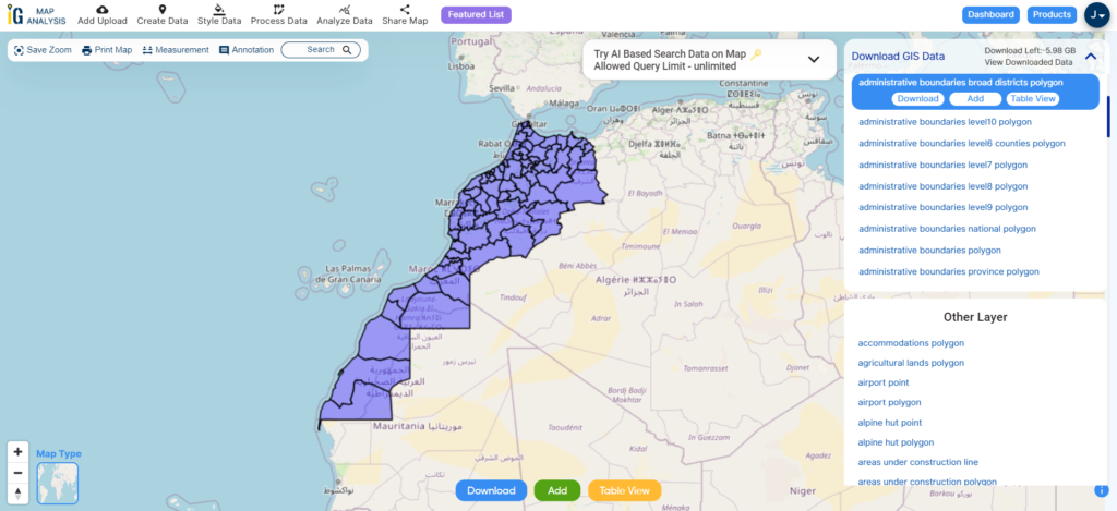
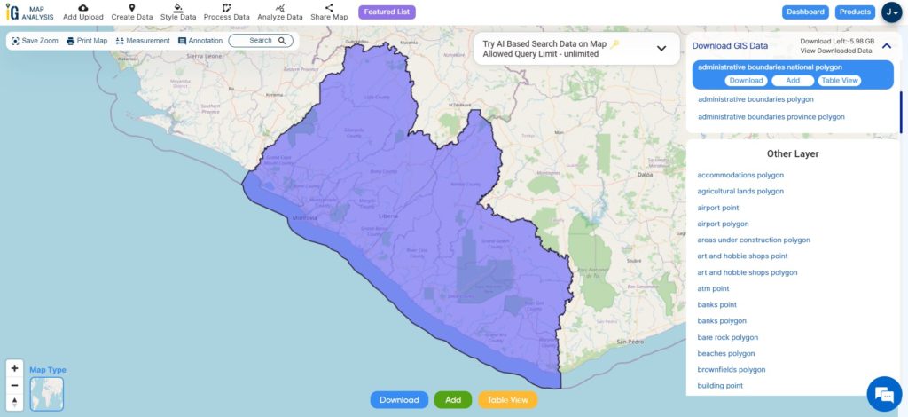
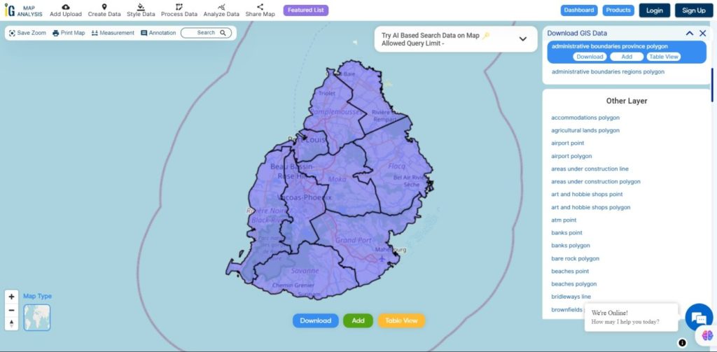
Download East Timor National Boundary Shapefile
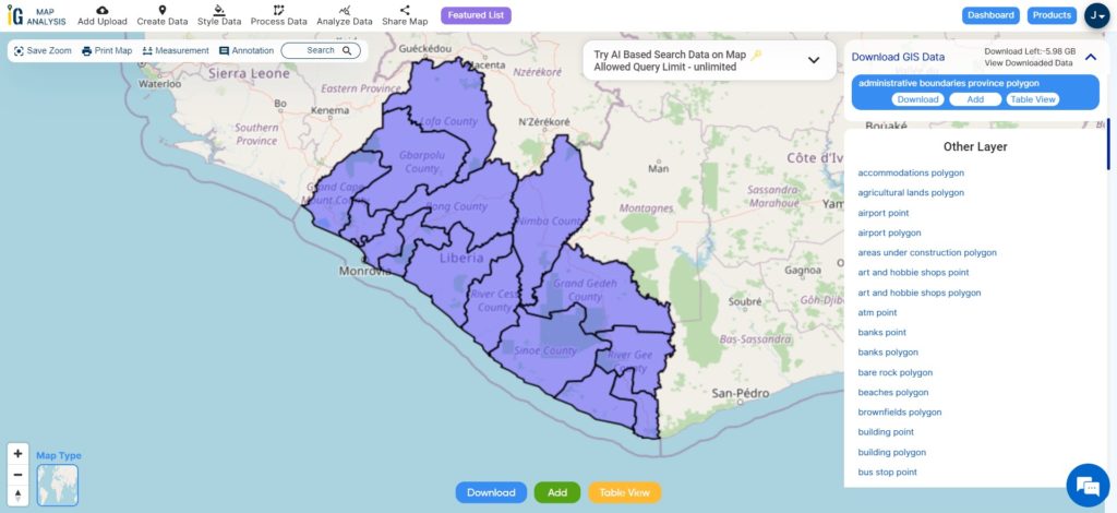
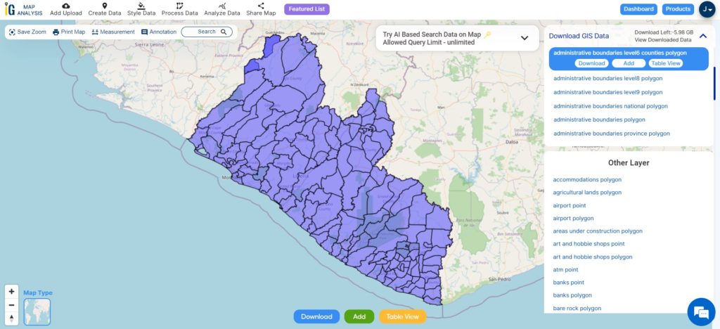
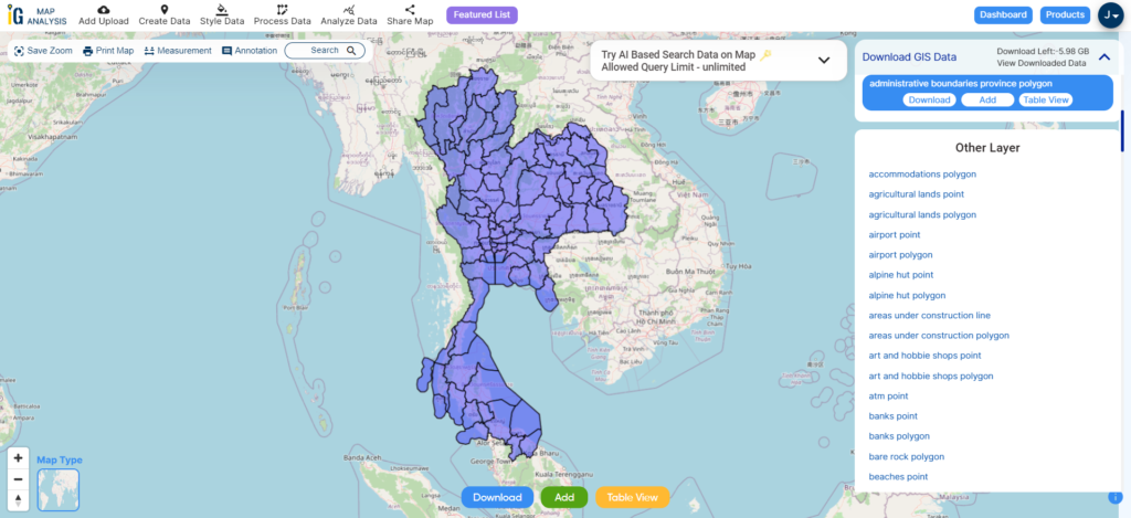
Download East Timor Municipalities Shapefile Data
Timor-Leste is divided into municipalities, which are administrative regions within the country. These municipalities play a role in local governance and development. Timor-Leste had 12 municipalities. Here they are:
- Aileu
- Ainaro
- Baucau
- Bobonaro
- Cova Lima
- Dili (the capital city)
- Ermera
- Lautém
- Liquiçá
- Manatuto
- Manufahi
- Viqueque
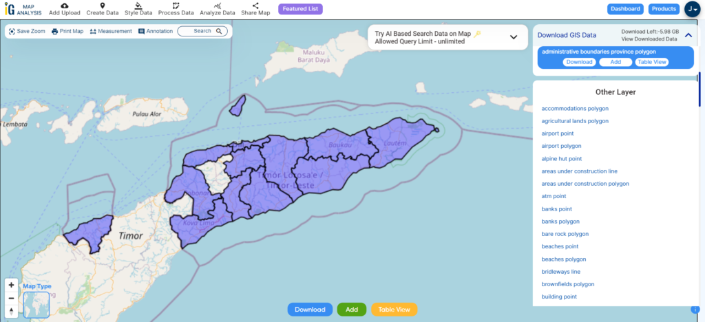
Download East Timor Municipalities Shapefile
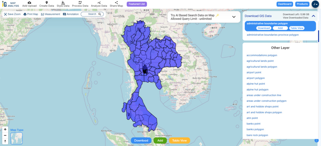
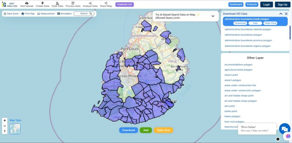
Download East Timor Subdistrict Shapefile Data
Subdistricts in Timor-Leste are smaller administrative units within municipalities, aiding local governance and services. They facilitate direct interaction between the government and communities, contributing to efficient development efforts. Please verify for recent changes.
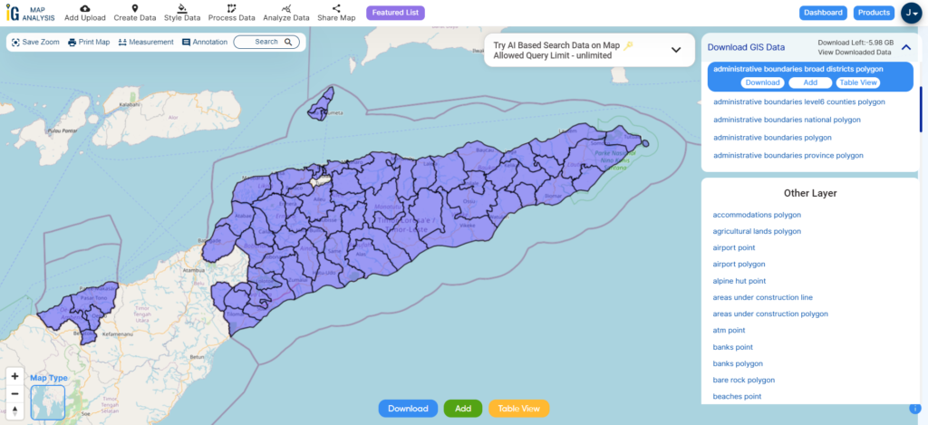
Download East Timor Subdistrict Shapefile
Other Administrative Boundary Data:
Other GIS Data:
- Download East Timor Airport Point Shapefile
- Download East Timor Ferry Terminals Shapefile
- Download East Timor Road Lines Shapefile
- Download East Timor Rivers Shapefile
Above all links are provided for GIS data of East Timor if you are looking for any specific data please write us on support@mapog.com
Download Shapefile for the following:
- World Countries Shapefile
- Australia
- Argentina
- Austria
- Belgium
- Brazil
- Canada
- Denmark
- Fiji
- Finland
- Germany
- Greece
- India
- Indonesia
- Ireland
- Italy
- Japan
- Kenya
- Lebanon
- Madagascar
- Malaysia
- Mexico
- Mongolia
- Netherlands
- New Zealand
- Nigeria
- Papua New Guinea
- Philippines
- Poland
- Russia
- Singapore
- South Africa
- South Korea
- Spain
- Switzerland
- Tunisia
- United Kingdom Shapefile
- United States of America
- Vietnam
- Croatia
- Chile
- Norway
- Maldives
- Bhutan
- Colombia
- Libya
- Comoros
- Hungary
- Laos
- Estonia
- Iraq
- Portugal
- Azerbaijan
- Macedonia
- Romania
- Peru
- Marshall Islands
- Slovenia
- Nauru
- Guatemala
- El Salvador
- Afghanistan
- Cyprus
- Syria
- Slovakia
- Luxembourg
- Jordan
- Armenia
- Haiti And Dominican Republic
Disclaimer : If you find any shapefile data of country provided is incorrect do contact us or comment below, so that we will correct the same in our system as well we will try to correct the same in openstreetmap.